Hi,
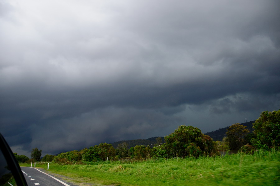
Jason Paterson and I chased Saturday 7th Oct. The sky was very uninspiring when we left the Lismore area with high cloud persisting and not much to see at first. Temps didn't get too high either, perhaps to 23-24 as a max. Radar indicated some cells gathering on the ranges surrounding Grafton from S - SW -W so we headed there via the Summerland Way.
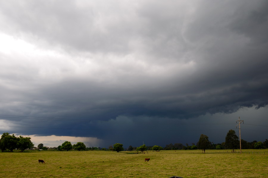
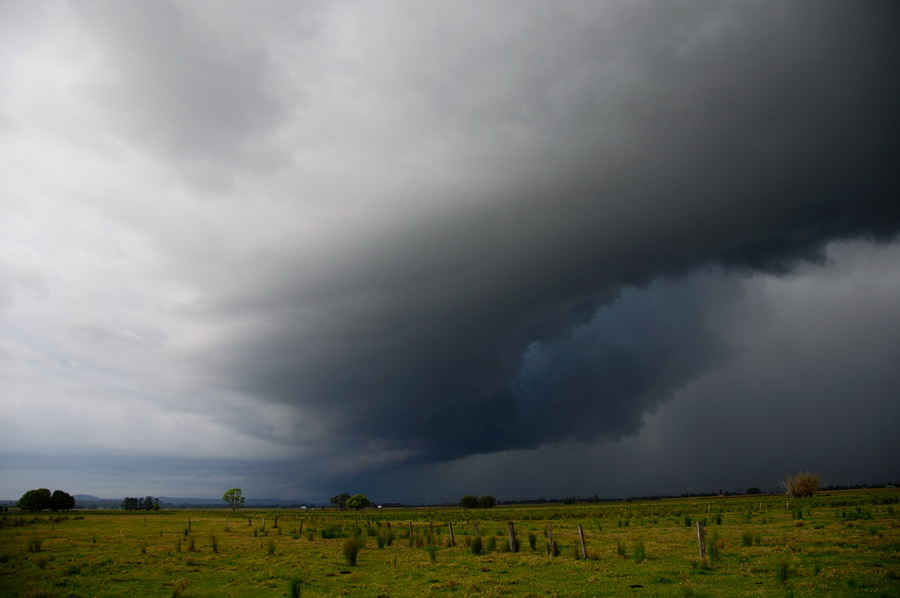
Weak activity was observed from Grafton before one cell started to dominate just south of town:
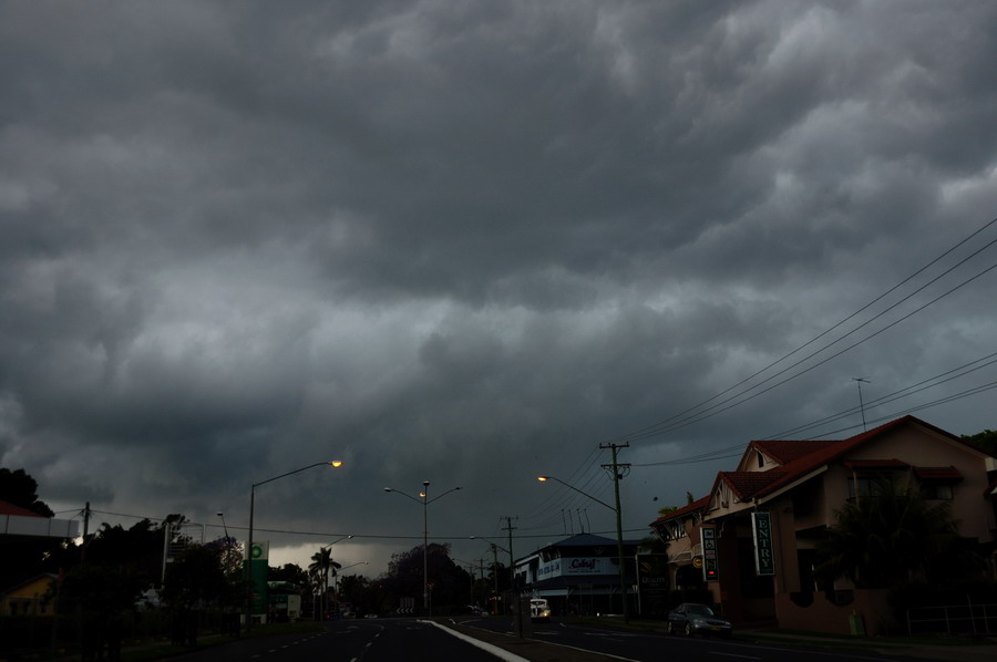
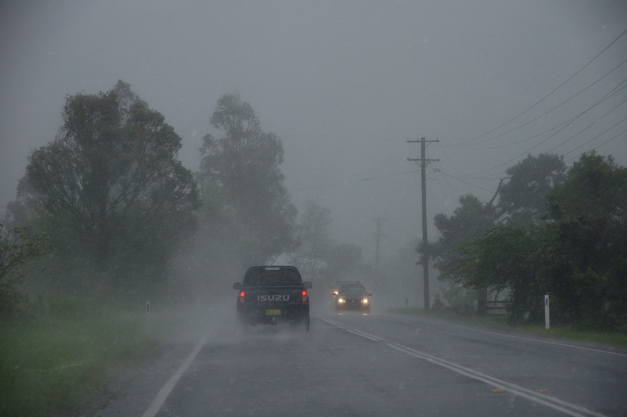
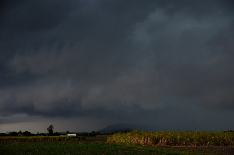
The storm passed through South Grafton and was heading slowly NNE at this point. We decided to brave the Pacific Highway traffic and drove into the storm. There were bursts of very heavy rain and strong winds. Some small hail just northeast of town before the sky darkened even more and hail to 2cm hit near Ulmarra. The winds were quite violent and most other vehicles had parked on the side of the road, including the usual dummies under large trees. The temp was now hovering around 14. We could see the leading edge of the storm but it took until nearly Maclean to get out of it.
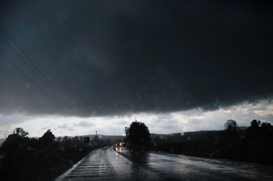
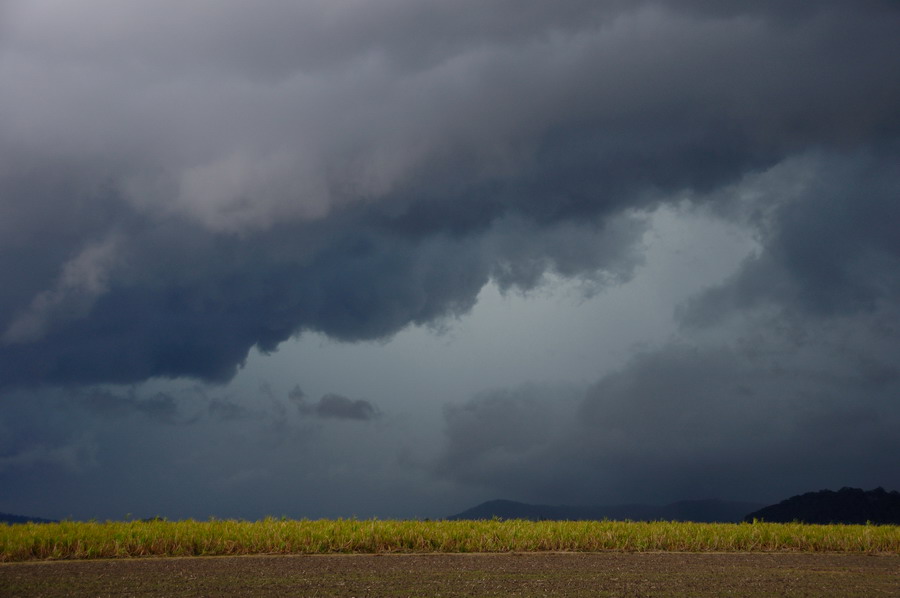
This looking back near Tyndale:
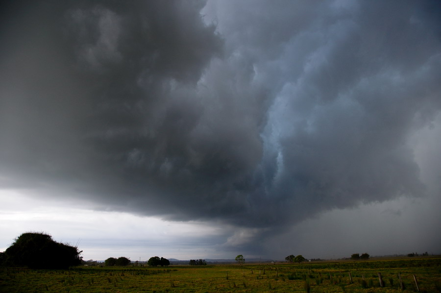
The view from Chatsworth Island north of Maclean was pretty good. The storm was looking very outflow dominated with a whales-mouth type gust front
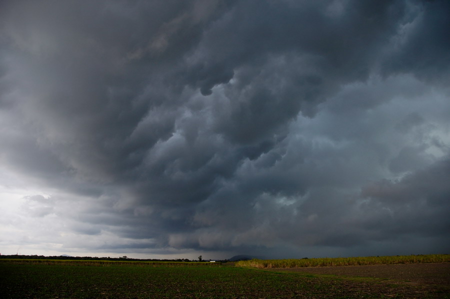
The storm was certainly moving quite fast now so we shot north to Woodburn. Despite travelling 35km north at 100km/h or so the storm was still almost on us at Woodburn:
The features here were still very nice. No hail at this point but some very heavy wind-blown rain.


 Recent Posts


