Been some great storms from this system!
Pete, coldies near the coast (and particularly offshore) often get quite lightning active as they generally become stronger once they tap into the better moisture and relatively warm east coast current. The 500 temps have been -26 to -28 in the thunderstorm areas which is rather cold for central parts of NSW. Pity the lower levels were not cooler as there could have been widespread tablelands snow rather than the isolated falls that did occur.
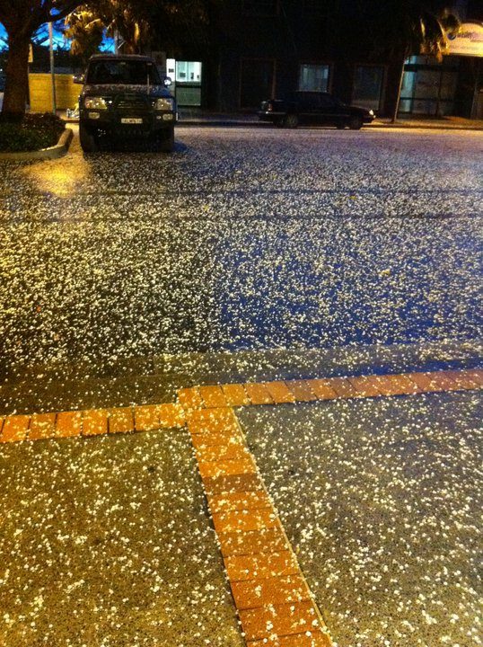
My sister sent me this photo. It was taken at Horton Street, Port Macquarie about 5.30pm 8th Aug

NBN TV News showed some areas with extensive hail cover on Monday, though I missed exactly where it was ... Hunter Valley region


