Hi Gang

a copy of my storm diary for friday's events....
070914 1200 - 1500 Act- Maj Saw the first anvil forming over Sydney’s inner west around 1200hrs whilst
travelling down Mowbray Rd towards home for lunch. Next 2 jobs were in Paramatta and after that
travelled to Menai for last job. On the way, stopped on Woodville Rd, Guildford for first set of pix. There were 3
main cells present … one past to south of me over sthrn suburbs, another was following this one and growing. A
3rd cell was directly west and was to pass over my location. I travelled on to Bankstown and near the east
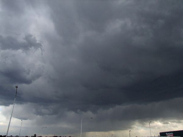
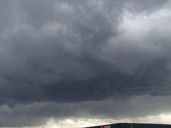
end of the runway by Bunnings. I watched and photo’ed the 2nd cell as it grew rapidly and started producing
intra-cloud lightning and after ~ 15 min’s the CG’s started. The core of this cell was south of my location, looked
roughly to be the Menai area. Torrential rain could be seen falling. I wasn’t till I got to the Menai area I
discovered there had also been lots of hail. The hail got heavier as the storm moved over the Sutherland Shire
suburbs… with a couple of reports to me from felow radio operators.
These were fast moving storms, even surface winds were moderate-strong westerlies.
a good start to the new season, will get some pics up when I can

cheers
Dave Nelson
Edited to add pix
1) from Mowbray/Epping Rd cnr
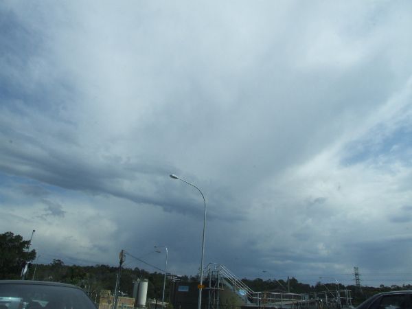
2) from Woodville Rd cell 1 to south
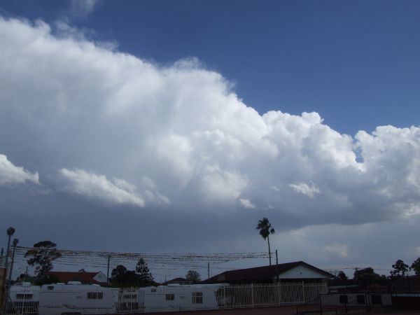
3) from Woodville Rd cell 3 to west
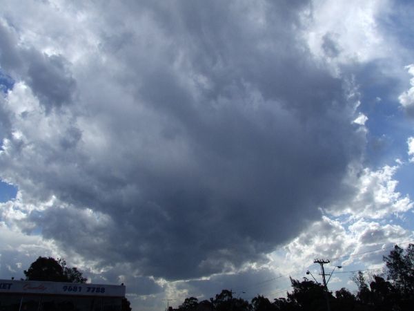
4) from Woodville Rd cell 3 to west, developing well
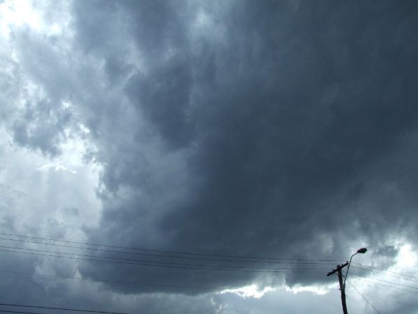
5) from Woodville Rd tail of cell 1 to south
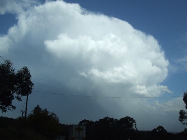
6 and 7) from Bankstown airport by Bunnings cell2 following cell 1
