Author Topic: NSW/SE QLD Severe storms and supercells : 25 - 29 January 2010  (Read 19609 times)

0 Members and 1 Guest are viewing this topic.

Offline Jimmy Deguara

  • Australian and Tornado Alley storm chaser
  • Administrator
  • Wedge tornado F5
  • *
  • Posts: 2,218
  • Gender: Male
  • Storm Chaser since 1993, Tornado Alley 2001
    • Australia Severe Weather
RE: NSW/SE QLD Severe storms and supercells : 25 - 29 January 2010
« Reply #15 on: 30 January 2010, 02:46:20 AM »
Hi,

Chase Report January 28th 2010 Western Sydney to Colo Heights Putty to Bulga

It was an agnising wait and a frustrating day. We had the ABC guys with us and this definitely impacted on making my typical quick decisions. With David Croan covering southern Western Sydney, we covered the NW part of Sydney.

Finally the first storm anchored into the flow and that was the first supercell approaching the Hazelbrook region. (Unconfirmed reports of hail to the size of oranges). This supercell was nicely structured and had a very interesting radar signature for some time before meeting its demise.


Note the beaver tail - would have looked better if it was not cloudy and also the second supercell forming nearby.
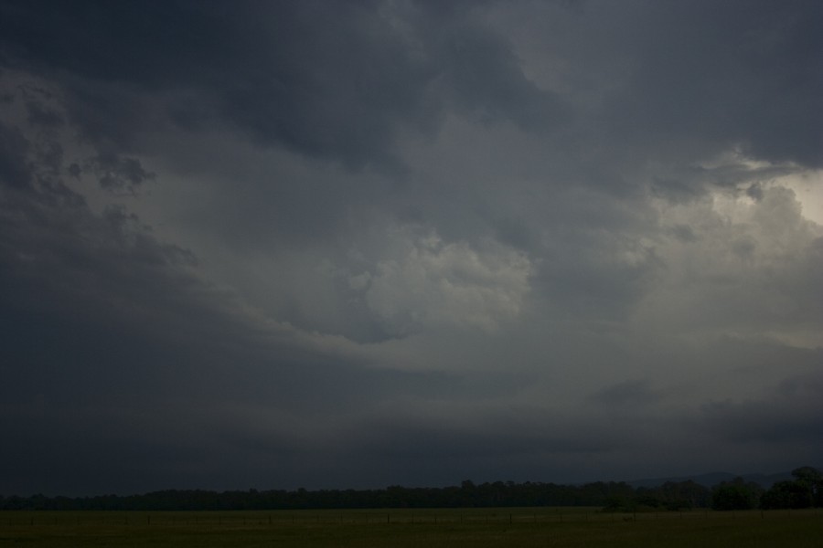

We never moved fast enough with the crew trying to get shots of a weakening cell so we had no chance to pace through the annoying traffic jams of Richmond to get to Colo Heights. We did make the back of the core and passed through a possible hook echo and filmed possible base rotation. I am just waiting on Harald Richter and the time of his observation of low level rotation based on doppler. This radar scan best matches the time recorded on video. There was intense lightning suggesting a stong mature updraft and a sudden stop from hail to fluctuating winds.


We followed this storm in search of next cell near Putty that merged into the complex.
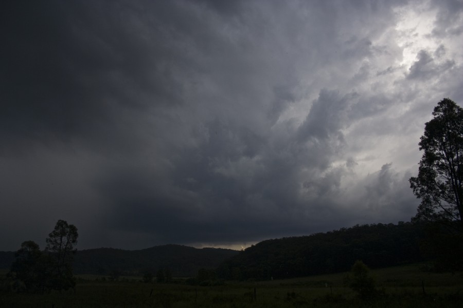


Eventually after more filming of this storm, we made it out of the Putty Road near Bulga where was noted low base levels and a line of storms. We once again missed the opportunity to get onto the cell near Branxton which was very electrically active. With the ABC crew finally departing for the night, we took some lightning shots and headed back to Sydney.

My predictions were for hail of cricket ball sized or larger so it will be good if we can get confirmation about the hail sizes.
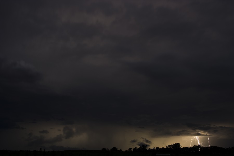
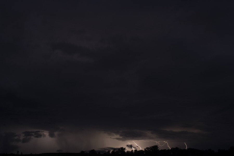


Hail stripped leaves and bark was noted in Colo Heights - hail was still lying on the ground at the end of this hail path where likely large hail perhaps to at least 5cm had fallen. We did not stop due to intense rain and trying to move on ahead of the storm.

Regards,

Jimmy Deguara
« Last Edit: 17 February 2010, 05:11:29 PM by Jimmy Deguara »
-------------------------------------
Australian Severe Weather
www.australiasevereweather.com

Australian Thunderbolt Tours
www.thunderbolttours.com

Phone  0408 020468  (International :  61  2  408 020468)

Offline Mathew Townsend

  • Elephant Trunk F2
  • *
  • Posts: 151
  • Gender: Male
  • Watching storms since 1998
RE: NSW/SE QLD Severe storms and supercells : 25 - 29 January 2010
« Reply #16 on: 30 January 2010, 05:42:10 AM »
^^^ Not too bad Jimmy! I been to Bulga before its where my cousins and Dad's side family lives there on Inlet Road.

MB and Rodney: Great pictures at Casino. I can't believe Casino area get storms all the time. Better feel sorry for these people get damage badly in two days in row!

Ballina scored epic lightning show with aftershocks thunder after 7pm and stopped around 11pm! I'm not sure what is wrong with Ballina Ap AWS having recorded 4mm on Wed and 7mm last night. The rain is seemingly more than it actually recorded. Still remains below the the driest on record rainfall!

Offline Colin Maitland

  • Barrel tornado F4
  • *
  • Posts: 614
  • Gender: Male
RE: NSW/SE QLD Severe storms and supercells : 25 - 29 January 2010
« Reply #17 on: 30 January 2010, 09:11:27 AM »
In SEQ it looks like we are in for a battering this afternoon.

Bom warning

SEVERE THUNDERSTORM WARNING - SOUTHEAST QUEENSLAND
for DAMAGING WIND, FLASH FLOODING and LARGE HAILSTONES

For people in the LOCKYER VALLEY and parts of the IPSWICH CITY, SOMERSET, SOUTH BURNETT and TOOWOOMBA Council Areas.

Issued at 1:22 pm Friday, 29 January 2010.

The Bureau of Meteorology warns that, at 1:25 pm, severe thunderstorms were detected on weather radar near the area west of Toowoomba, the area west of Toogoolawah and the area south of Helidon.

These thunderstorms are moving towards the east to northeast.

They are forecast to affect the area southwest of Toowoomba, Mulgowie and Crows Nest by 1:55 pm and Laidley, Gatton and the area south of Toowoomba by 2:25 pm.

Offline David C

  • Global Moderator
  • Barrel tornado F4
  • *
  • Posts: 643
  • Gender: Male
    • Thunderbolt Tours Storm Chasing Adventures
RE: NSW/SE QLD Severe storms and supercells : 25 - 29 January 2010
« Reply #18 on: 30 January 2010, 12:17:25 PM »
Hi,

Chase Report January 29th 2010 Western Sydney to Colo Heights Putty to Bulga

It was an agnising wait and a frustrating day. We had the ABC guys with us and this definitely impacted on making my typical quick decisions. With David Croan covering southern Western Sydney, we covered the NW part of Sydney.

Finally the first storm anchored into the flow and that was the first supercell approaching the Hazelbrook region. (Unconfirmed reports of hail to the size of oranges). This supercell was nicely structured and had a very interesting radar signature for some time before meeting its demise.
><

Regards,

Jimmy Deguara

I parked myself near Glenmore Park and eventually, after several half-hearted attempts, one updraft finally anchored in as you said Jimmy. It was nice to watch this classical evolution of convection into a supercell, which began around 3:30pm. By around 4:40pm the storm was looking pretty nasty although I had anvil rain and precip from more transient cells, which impeded the view. I needed to make a move north along Northern Road and filmed some of the inflow structure as I went north through Penrith, but was sad to see it show signs of weakening despite being very Cg active. I found a spot at the junction of  Northern Road and Castlereagh Rd some 10km north of Penrith and the storms still had signs of inflow and produded some thick bolts. It was basically killed by the second supercell that developed just to the north, which Harald commented on re low-level rotation, otherwise it would have been very interesting given conditions and vantages available.

Vid still below is looking west at abovementioned road junction around 4:40 - 5:00pm -- weakening but still with st robe effect bolts and excellent albeit cool inflow,,,,. Will see if any of the video grabs of the mature phase are worth grabbing from my other videocam and put these up later.
Storm Chaser,
Thunderbolt Tours - USA & Australia Storm Chase Tours
www.thunderbolttours.com

Offline Paul D

  • Multi-vortex F1
  • *
  • Posts: 90
  • Gender: Male
RE: NSW/SE QLD Severe storms and supercells : 25 - 29 January 2010
« Reply #19 on: 31 January 2010, 05:46:19 AM »
Had a quick look locally yesterday (29th) as storms neared the coast.
Structure didn't look too impressive, but there was finally some good rainfall out of it all.
3-20pm (QLD time) storm passing over Kenilworth

headed out toward Imbil through this but didn't encounter (no hail observed) the main core which appeared to be a bit further out in the ranges to the west. Fairly gusty at times and a few sporadic CG's in the area (on this occasion they time'd themselves perfectly for when the shutter was closed), CG's then fired up as the Storm headed NE toward the Coast.

Cheers
Paul
Lightning strikes for SEQ Yesterday
http://firewatch.dli.wa.gov.au/landgate_firewatch_public.asp
« Last Edit: 31 January 2010, 06:02:41 AM by Paul D »

Offline Mathew Townsend

  • Elephant Trunk F2
  • *
  • Posts: 151
  • Gender: Male
  • Watching storms since 1998
RE: NSW/SE QLD Severe storms and supercells : 25 - 29 January 2010
« Reply #20 on: 31 January 2010, 06:02:14 AM »
Few heavy showers came through Ballina since 3am this morning. Good solid heavy falls with some gusty winds from the SE. Theres thundering now as the afternoon persists in! Over 15mm since midnight and counting as heavy shower coming in again and plenty more to go behind it.

Offline Jason(pato)

  • Elephant Trunk F2
  • *
  • Posts: 136
  • Gender: Male
RE: NSW/SE QLD Severe storms and supercells : 25 - 29 January 2010
« Reply #21 on: 01 February 2010, 12:00:43 PM »
Sorry if this is a bit late but I've been camping for the last couple of days and this is the first time I've had a chance to get some images from the 28th January up. Just a few more to add to MB's pics from near Casino.


South Lismore, Northern Rivers NSW.....Supercells are us!!

Offline vrondes

  • Multi-vortex F1
  • *
  • Posts: 77
RE: NSW/SE QLD Severe storms and supercells : 25 - 29 January 2010
« Reply #22 on: 01 February 2010, 04:18:30 PM »
Just adding to the great reports and images from everyone across the state on the very active 28th,

Tamworth area storms from the 28th of January 2010,

A visit to Mom and Dad in Tamworth on the Thursday had the bonus of early evening storms in the area displaying interesting nice structure
and lightning. The first storm approached from the south of town displaying nice base features  before fading with a strong outflow push.


Cheers, Con


Offline vrondes

  • Multi-vortex F1
  • *
  • Posts: 77
RE: NSW/SE QLD Severe storms and supercells : 25 - 29 January 2010
« Reply #23 on: 01 February 2010, 04:32:42 PM »
Continuing on from the previous post,

The 2nd storm was to the north of town near Attunga around sunset which displayed some lovely cg's and a well lit shelf cloud
before gusting out,


Cheers, Con.


Offline Michael Bath

  • storm chaser
  • Administrator
  • Wedge tornado F5
  • *
  • Posts: 1,602
  • Gender: Male
    • Australian Severe Weather
RE: NSW/SE QLD Severe storms and supercells : 25 - 29 January 2010
« Reply #24 on: 02 February 2010, 05:44:14 AM »
Apart from the activity in central parts of NSW, the 27th January had a number of other significant storms.

Brisbane Doppler shows intense winds with great inflow into the HP supercell that moved through Casino. It is not surprising the most damage occurred in this region before the cell become outflow dominant later in the Tweed Valley.

128km Radar Loop for Brisbane, 03:00 27/01/2010 to 08:00 27/01/2010 UTC


A number of newspaper reports are available and suggest the winds must have topped 120km/h. Some of the reporting refers to another damaging thunderstorm in Kyogle on Thursday 28th but the majority refers to damage which occurred from 4pm on Wednesday 27th January 2010


The Northern Star 28th Jan Page 1

The Northern Star 28th Jan Page 4

The Northern Star 29th Jan Page 7

The Northern Star 30th Jan Page 1

The Northern Star 30th Jan Page 6

The Northern Star 30th Jan Page 7

The Northern Star 1st Feb Page 8
Location: Mcleans Ridges, NSW Northern Rivers
Australian Severe Weather:   http://australiasevereweather.com/
Lightning Photography:   http://www.lightningphotography.com/
Early Warning Network: http://www.ewn.com.au
Contact: Michael Bath

Offline Jimmy Deguara

  • Australian and Tornado Alley storm chaser
  • Administrator
  • Wedge tornado F5
  • *
  • Posts: 2,218
  • Gender: Male
  • Storm Chaser since 1993, Tornado Alley 2001
    • Australia Severe Weather
Re: NSW/SE QLD Severe storms and supercells : 25 - 29 January 2010
« Reply #25 on: 17 February 2010, 05:21:01 PM »
Hi guys,

Thought I would post the videos from the 27th Supercells ( well I am not convinced the second one is a supercell so I will label it as possible here:

The first supercell further south was a classic supercell complete with wall cloud and RFD wrapping around the back responsible for the hook echo on radar

Classic Supercell with hook echo on radar with wall cloud and RFD precipitation January 27th 2010


This is the second possible supercell with possible wall cloud. Not sure what is going on here whether the storm got undercut by outflow although I know wind did hit prior to my departure from this cell.

Regards,

Jimmy Deguara
Possible supercell 2 with possible wall cloud 27th January 2010 supercell outbreak
-------------------------------------
Australian Severe Weather
www.australiasevereweather.com

Australian Thunderbolt Tours
www.thunderbolttours.com

Phone  0408 020468  (International :  61  2  408 020468)