Here's a few of my storm pics from some of the other dates in this thread.
Sunday 28th December 2008A severe thunderstorm warning for flash flooding was issued shortly before the main cell of the afternoon developed right over my place at McLeans Ridges.
Some funnel like base features as the cell intensified on its northward heading.
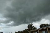
The rainfall was very intense with 34mm falling - most of which fell in about 10 minutes. CGs went nuts for a while - the storm really punched upwards right here. Hail and about 50mm of rain was reported a few ks to my north at Clunes.
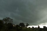
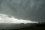
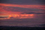
Nice sunset too.
All photos for
28 December 2008Monday 29th December 2008I wasn't able to chase due to family commitments in Ballina.
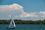
This is the early cell south of Grafton looking across the Richmond River.
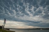
Later in the afternoon the Casino to Urbenville HP supercell was in full swing. The mammatus display was impressive downstream at least !
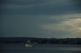
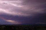
A lot of lightning was visible from Ballina - which is about 50ks from the storm core. A bit of structure was evident too.
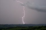
Some lightning when back at home
All photos for
29 December 2008Michael


