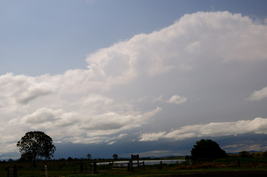
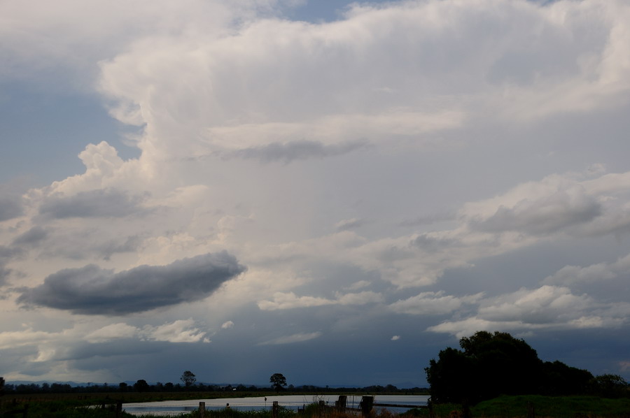
Jason Paterson and I chased yesterday though didn't go too far. Spent most of the afternoon just north of Casino. Local cumulus blocked developing storms for a while then the contrast was pretty terrible but it eventually become better by mid-afternoon.
A storm developed near Tabulam and other activity NW of Kyogle.
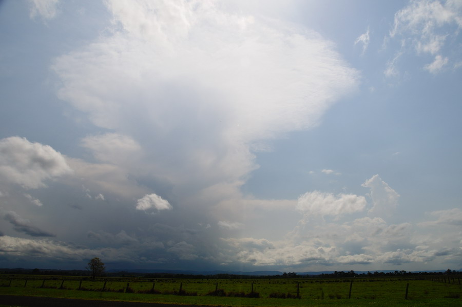
They struggled for moisture at first but then took off with solid high tops - though the windshear really didn't help them develop further locally. Looks like the forecast wind shear profile did not eventuate.
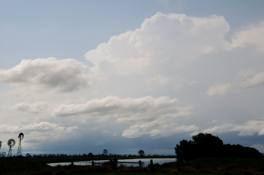
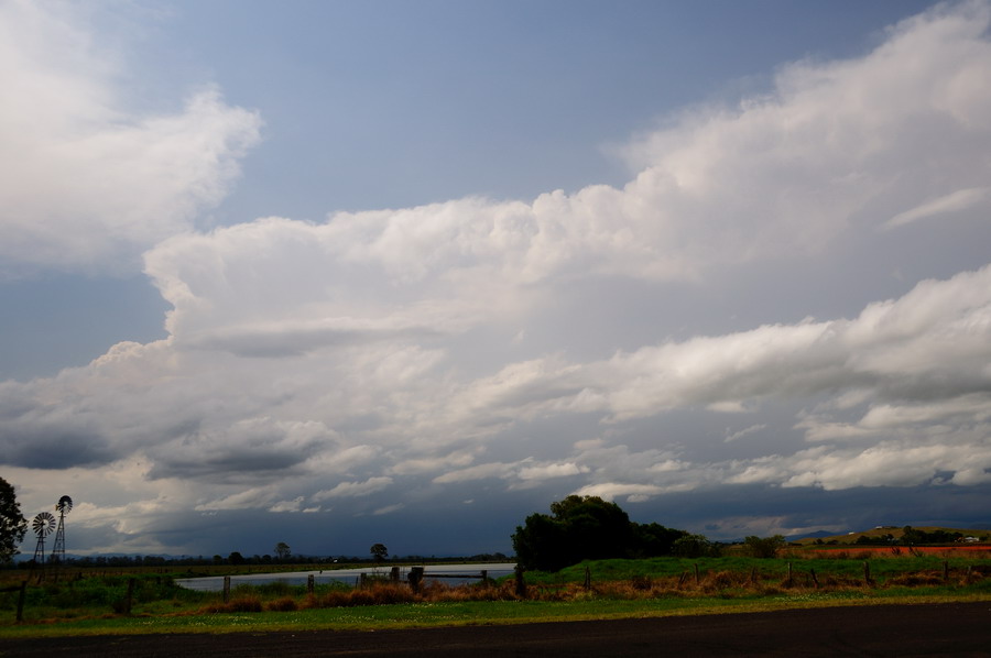
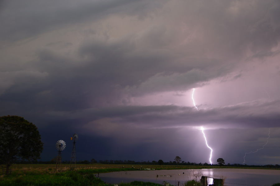
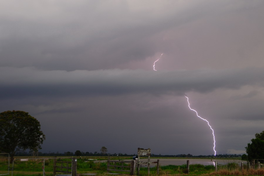
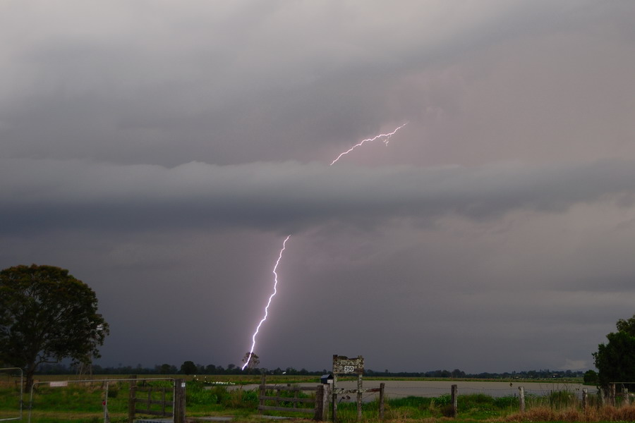
We met up with Bec Armatyge and enjoyed a barrage of CGs from the blob of storms over the far NW of the Northern Rivers / NE part of Northern Tablelands.
These were taken with a lightning trigger.
Would have been nice to get some hail too, but not to be.
MB


