Author Topic: NSW/QLD Storms (incl Putty to Singleton supercell): 20 - 24 December 2009  (Read 23126 times)

0 Members and 1 Guest are viewing this topic.

Offline Colin Maitland

  • Barrel tornado F4
  • *
  • Posts: 614
  • Gender: Male
RE: NSW/QLD Storms (incl Putty to Singleton supercell): 20 - 24 December 2009
« Reply #15 on: 23 December 2009, 10:20:43 AM »

Storm warnings have just recently been issued for SEQ. Looks like some large storms coming through visually and on the radar.

Taking a few photos and I'll see if I can capture anything worth posting.

Col
« Last Edit: 23 December 2009, 04:14:07 PM by Jimmy Deguara »

Offline Mathew Townsend

  • Elephant Trunk F2
  • *
  • Posts: 151
  • Gender: Male
  • Watching storms since 1998
RE: NSW/QLD Storms (incl Putty to Singleton supercell): 20 - 24 December 2009
« Reply #16 on: 23 December 2009, 10:37:53 AM »
At least things starting to fire up in Northern Rivers now! Nice backshearing right mover cell heading for Byron Bay moving SE (possibly to Ballina if it make it). I can see lot of fresh updrafts boiling off their tops surrounding it and it seem getting bigger.

« Last Edit: 23 December 2009, 04:15:28 PM by Jimmy Deguara »

Offline Steven

  • Global Moderator
  • Stove pipe F3
  • *
  • Posts: 410
  • Gender: Male
RE: NSW/QLD Storms (incl Putty to Singleton supercell): 20 - 24 December 2009
« Reply #17 on: 23 December 2009, 11:08:31 AM »
What a surprise! I wasn't expecting storms when I saw dark clouds kicking in, then lo and behold I discover a STW.

Anything is possible today given the setup, although I'm concerned there may not be enough heating to keep them sustained. Meh either way we'll just watch how it pans out.

Offline Colin Maitland

  • Barrel tornado F4
  • *
  • Posts: 614
  • Gender: Male
RE: NSW/QLD Storms (incl Putty to Singleton supercell): 20 - 24 December 2009
« Reply #18 on: 23 December 2009, 01:25:48 PM »
Just got hammered with a severe storm, strong wind, hail and lost power for about an hour. Reports of damage are coming over the radio. 50 mm of rain was recorded in 1/2 hour and therefore flash flooding occurred.

It was a very intense storm system that came over just before 5.00pm

Col

Offline Richary

  • Barrel tornado F4
  • *
  • Posts: 680
  • Gender: Male
RE: NSW/QLD Storms (incl Putty to Singleton supercell): 20 - 24 December 2009
« Reply #19 on: 23 December 2009, 05:19:19 PM »
I was in Newcastle today for work and we wrapped about 2pm. There was some impressive cloud to the west, but a fair way off. Drove back to Lambton to drop off a hired ladder then hit the shops briefly and left about 3. On the drive back to Sydney noticed 4 quite big cells to the west, each distinct from each other but no lightning spotted and only saw rain falling to my west from the last 2. Had about 1 spot on the windscreen at Hawkesbury River.

When I got home a bit before 5 the southernmost of the lot was throwing up some nice anvil clouds at the back, but fell apart. By the time I made it home the Detailed Severe Warning had just been cancelled. Another cell fired up to the SW later, but near Warragamba started to do a left turn and head north towards Katoomba. This went black briefly but fizzled out, as did the outflow rain that was evident on the radar heading my way so we got nothing.

Still some action, should have told the girlfriend the job had gone overnight and gone chasing instead of coming home! I think more action up there if anything kept developing.

Offline Michael Bath

  • storm chaser
  • Administrator
  • Wedge tornado F5
  • *
  • Posts: 1,602
  • Gender: Male
    • Australian Severe Weather
RE: NSW/QLD Storms (incl Putty to Singleton supercell): 20 - 24 December 2009
« Reply #20 on: 24 December 2009, 05:25:28 AM »
A couple of photos of a cell that developed just north of Nimbin about 4pm EDT 22 Dec 2009. The updrafts were quite powerful though the top of the storm soon sheared off.


The rest of the sequence can be seen here.

MB


Location: Mcleans Ridges, NSW Northern Rivers
Australian Severe Weather:   http://australiasevereweather.com/
Lightning Photography:   http://www.lightningphotography.com/
Early Warning Network: http://www.ewn.com.au
Contact: Michael Bath

Offline Mathew Townsend

  • Elephant Trunk F2
  • *
  • Posts: 151
  • Gender: Male
  • Watching storms since 1998
RE: NSW/QLD Storms (incl Putty to Singleton supercell): 20 - 24 December 2009
« Reply #21 on: 24 December 2009, 06:18:55 AM »
Great pictures Michael! I saw that Nimbin cell from Ballina yesterday but my camera lost it power so i recharged it. Towers were very huge!

Anyways today is much better with plentiful of showers and thundercells north of Maclean, should be scattered in the afternoon. I am at Modanville until new year eve so i get plenty opportunity to see actions.

PS: Just about to get hit by very heavy shower which from Nimbin/The Channon.

Offline Shaun Galman

  • Stove pipe F3
  • *
  • Posts: 441
  • Gender: Male
    • ridgelightning.com
RE: NSW/QLD Storms (incl Putty to Singleton supercell): 20 - 24 December 2009
« Reply #22 on: 24 December 2009, 06:58:50 AM »
Hi guys,

MB: What an amazing updraft! The third shot where it's shearing over looks almost like a giant corkscrew!

We were right in between two of the three large storms yesterday and hardly received any rain. The anvils were absolutely monstrous, almost encompassing the entire horizon as each storm built over us and went NE. The photo I posted above was the second large storm in the line of three. The last one built just near Brewarrina and came just passed town, firing several very close CG, one hitting in the trees only about 200mtrs in front of me. Really made me jump when she cracked loudly lol! The HP core sat to the North of town but I went for a drive up towards the QLD border this morning and couldn't find any signs of rain?? I was actually quite dusty!

I will post a couple shots of the stunning RFB we saw on the 21st of December 2009. There was some partial lightning but pretty infrequent. We photographed it out on the Castlereagh Hwy around 7-8k's North of town, we faced straight West. No rain came from this cell either?

Looks like we'll have a bit of weather over the coming Christmas days? I'm all for it!  ;D
Kindest regards,
Shauno
Chasing Region: Lightning Ridge. N.S.W.
Website: www.ridgelightning.com

Offline James

  • Elephant Trunk F2
  • *
  • Posts: 149
  • Gender: Male
    • Sydney Storm Chasers
RE: NSW/QLD Storms (incl Putty to Singleton supercell): 20 - 24 December 2009
« Reply #23 on: 24 December 2009, 07:53:17 AM »
As soon as I woke up and saw cirrus filling the sky to the west I began to get nervous. The storm moving towards Warwick early in the morning was not helping our chances in the Northern Rivers. I was thinking at one point it may even extend up to Toowoomba producing an anvil over SEQLD too and stuffing up there chances. Thankfully the storms died off and didn't reach that far, however for us (Northern Rivers) the damage had been done in the form of cirrus covering the sky and preventing convection from occurring. Decision was made to head north towards the Border where clear air was available. Ended up being a good move being able to watch the early development around Rathdowney before moving north to Boonah. North of here watched the cell over Mt Perry form before it merged with the earlier Beaudesert storm and became one big line.

Out of the cirrus shielded Northern Rivers and into clear air. Updrafts developing around Mt Barney


Earlier updrafts precipatating west of Rathdowney


Large base developing south of Rathdowney

 
Looking at the start of the large Beaudesert storm forming from behind. Nice flanking line to the NW (not viewable here)


North of Boonah watching the Mt Perry cell develop west of the Beaudesert cell (in distance)


Base increasing in size of Mt Perry cell.


Lovely turbulent base. Dropped its load shortly afterwards and then became part of the shelf line merging with Beaudesert storm


Amazing Sky over Goodna (looking west towards Ipswich) before the wind/precip hit. Hail to 1cm only

Offline Jimmy Deguara

  • Australian and Tornado Alley storm chaser
  • Administrator
  • Wedge tornado F5
  • *
  • Posts: 2,218
  • Gender: Male
  • Storm Chaser since 1993, Tornado Alley 2001
    • Australia Severe Weather
RE: NSW/QLD Storms (incl Putty to Singleton supercell): 20 - 24 December 2009
« Reply #24 on: 26 December 2009, 03:00:13 AM »
Hi,

Good to see people posting images of impressive storms. Certainly has changed the face of this current season. That storm structure north of Michael's location looks interesting with a cow catcher formation.

Finally have had time to post the images from the two days chasing - 21st December 2009 nick named Putty Road chase noted earlier and then the 22nd December 2009 chase from Singleton to Gunnedah. I must say I had no idea that the storms would be "that" spectacular and that I would for the first time chase a storm in the Putty Road itself ( a no no for many people because of the trees). Furthermore, the rule not to give up and go with your gut instinct was certainly the case on the 22nd December 2009 chase.

There are so many images that I will share with you the best images that show a story of each chase. There were several components and storms to the chase so I will try relay each one to give a better picture. I will say I have used photoshop on these but I did try and indicate the coloration and stucture that existed on the day.

Regards,

Jimmy Deguara
-------------------------------------
Australian Severe Weather
www.australiasevereweather.com

Australian Thunderbolt Tours
www.thunderbolttours.com

Phone  0408 020468  (International :  61  2  408 020468)

Offline Colin Maitland

  • Barrel tornado F4
  • *
  • Posts: 614
  • Gender: Male
RE: NSW/QLD Storms (incl Putty to Singleton supercell): 20 - 24 December 2009
« Reply #25 on: 26 December 2009, 03:41:48 AM »
Some photos of the storm on Tuesday the 22/12/09.

It was an intense cell that moved over Bracken Ridge just before 5.00pm. I had observed what I strongly believe to be rotation within the cell. There are many trees that have been blown over or have been snapped in two. I am shortly going out to photo some of the debris.

At Carsledine, the adjoining suburb to ours, the grounds men at the Golf driving range on Beams Road, were interviewed on Chanel 7 news, (4.30 national and 6.00pm local) they described how the old bus on the range was picked up, spun around in mid air, then slammed back down to the ground. I am also heading there to take some  photo of what I can.

Offline Jimmy Deguara

  • Australian and Tornado Alley storm chaser
  • Administrator
  • Wedge tornado F5
  • *
  • Posts: 2,218
  • Gender: Male
  • Storm Chaser since 1993, Tornado Alley 2001
    • Australia Severe Weather
RE: NSW/QLD Storms (incl Putty to Singleton supercell): 20 - 24 December 2009
« Reply #26 on: 26 December 2009, 04:19:21 AM »
Colin,

Looking forward to know more about what is confirmed from this event and the damage pictures. Certainly an interesting base but I cannot tell what is going on from that perspective.

Regards,

Jimmy Deguara
-------------------------------------
Australian Severe Weather
www.australiasevereweather.com

Australian Thunderbolt Tours
www.thunderbolttours.com

Phone  0408 020468  (International :  61  2  408 020468)

Offline Colin Maitland

  • Barrel tornado F4
  • *
  • Posts: 614
  • Gender: Male
RE: NSW/QLD Storms (incl Putty to Singleton supercell): 20 - 24 December 2009
« Reply #27 on: 26 December 2009, 05:42:01 AM »
hopefully the links for the news coverage, I dont know how long they last or how to save them, I'll check utube to see if they are uploaded there. You just have to bear the add at the beginning of the news report.

http://au.news.yahoo.com/video/national/-/watch/17272172

A few photos of some debris, the pictures don't capture the full scope of the damage. A lot has been cleared since Tuesday. I just could not get out to photo the damage before today. The bus at the driving range has been righted and put back on its stumps,(it could be a new bus due to the fact there is a wrecking yard across the road.)

The 1st photo is courtesy of Courier Mail showing the cell moving over Brisbane
« Last Edit: 27 December 2009, 12:40:38 AM by Colin Maitland »

Offline Jimmy Deguara

  • Australian and Tornado Alley storm chaser
  • Administrator
  • Wedge tornado F5
  • *
  • Posts: 2,218
  • Gender: Male
  • Storm Chaser since 1993, Tornado Alley 2001
    • Australia Severe Weather
Re: NSW/QLD Storms (incl Putty to Singleton supercell): 20 - 24 December 2009
« Reply #28 on: 27 December 2009, 08:08:14 AM »
21st December 2009 Putty chase part 1

All photographs from this chase:

http://www.australiasevereweather.com/photography/photos/2009/jd20091221.html

My chase began near Richmond where we basically remained until the storms got going and met others such as Nick Moir. My intention was always to remain in close proximity to western Sydney and then head generally towards Mudgee region - well that did not happen exactly to plan but we did head north.

The closest cell next to Richmond that basically broke the cap and rapidly developed hence the pileus.


This storm persisted and moved slowly over the next hour or so towards Colo Heights but never made it. Other cells developed east of Lithgow and the line west of Blackheath. One cell finally dominated and looked to provide some decent structure and severity until it came into view:


I was rather impressed with the updrafts given the instability and shear on the day.

Part 2 in the next post.

Regards,
Jimmy Deguara
« Last Edit: 27 December 2009, 08:16:14 AM by Jimmy Deguara »
-------------------------------------
Australian Severe Weather
www.australiasevereweather.com

Australian Thunderbolt Tours
www.thunderbolttours.com

Phone  0408 020468  (International :  61  2  408 020468)

Offline Jimmy Deguara

  • Australian and Tornado Alley storm chaser
  • Administrator
  • Wedge tornado F5
  • *
  • Posts: 2,218
  • Gender: Male
  • Storm Chaser since 1993, Tornado Alley 2001
    • Australia Severe Weather
Re: NSW/QLD Storms (incl Putty to Singleton supercell): 20 - 24 December 2009
« Reply #29 on: 27 December 2009, 08:08:48 AM »
21st December 2009 Putty chase part 2 The Putty - Singleton supercell

All photographs from this chase:

http://www.australiasevereweather.com/photography/photos/2009/jd20091221.html

Meanwhile a cell near Colo Heights although looking not so impressive certainly was dropping more bolts it seemed. It was a matter of timing and we finally had to make the move to remain in contact with this cell. We passed through large hailstones that may have been up to 3 to 4cm by the sound of the hits on the vehicle but never measured and rather isolated. This is confirmed by the excited calls of large hailstones on the ground by Imelda and Kimberly (Jimelle had no comment):

This image shows the beginning of the Putty Road cell as it intensified
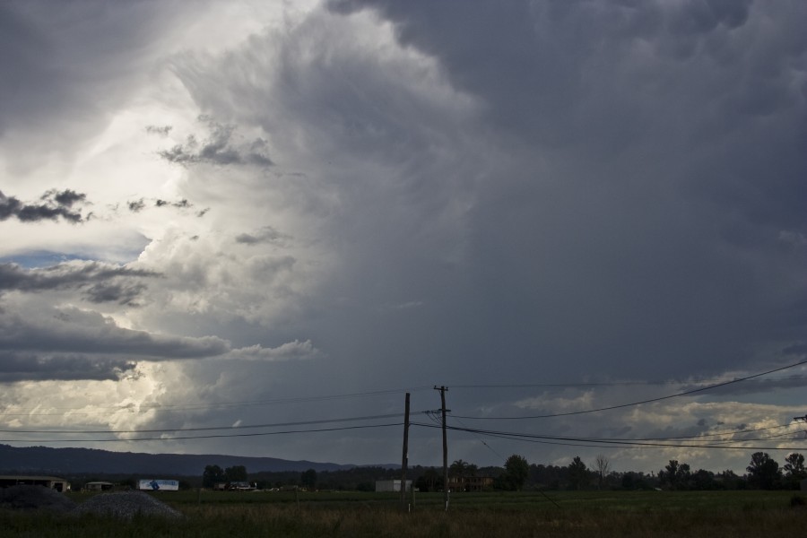


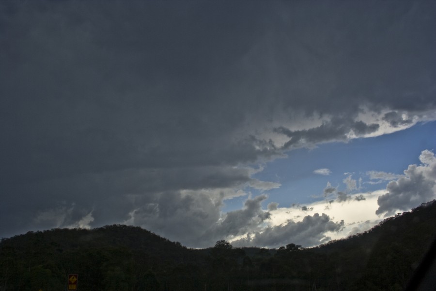
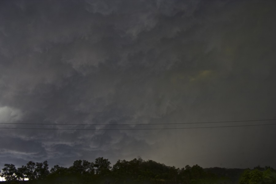
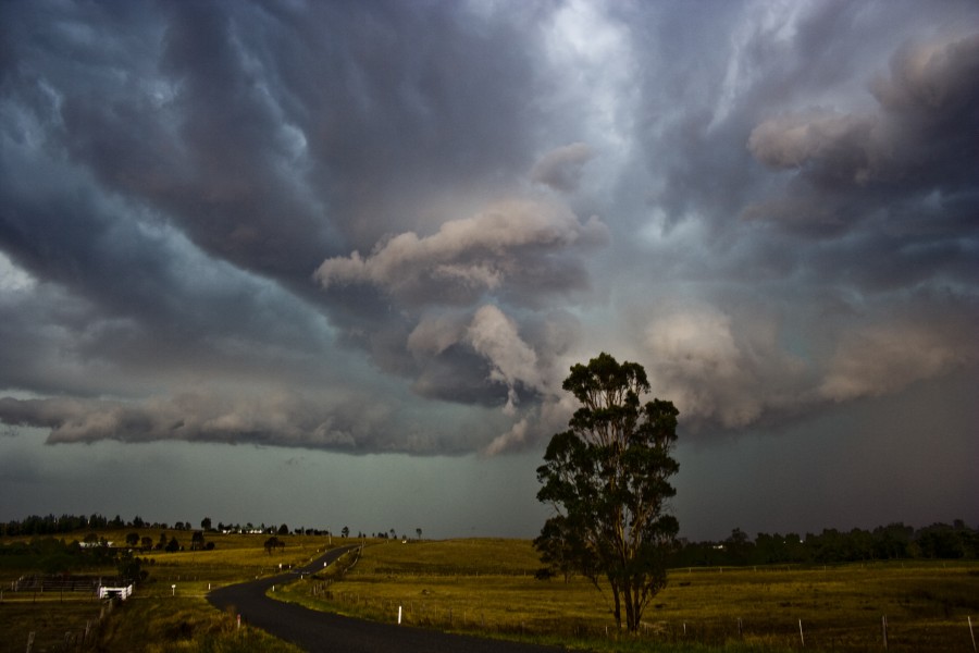
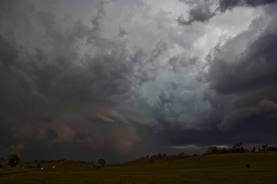
On the Putty Road, this cell showed an extensive base and some structure as well as the infamous green tinge effect:

This looking west
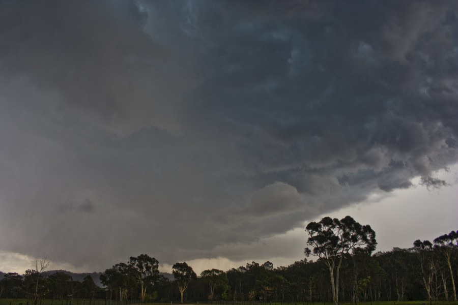

This looking east which is where the main core was - looks like a mesocyclone
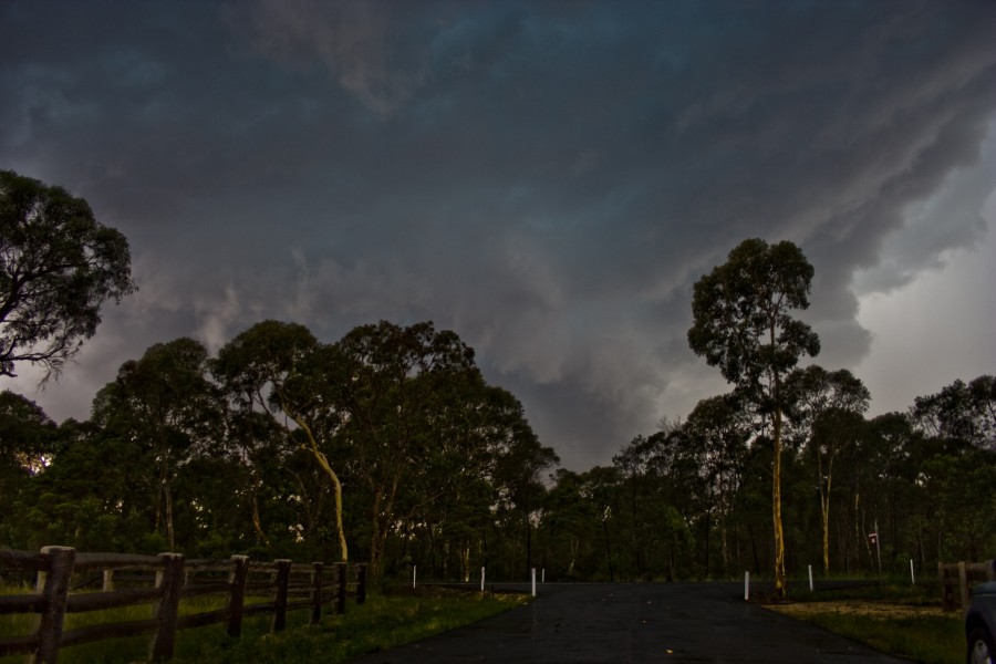

Near Putty, the structur was further north but we sampled the core with hail up to 3cm in diameter:
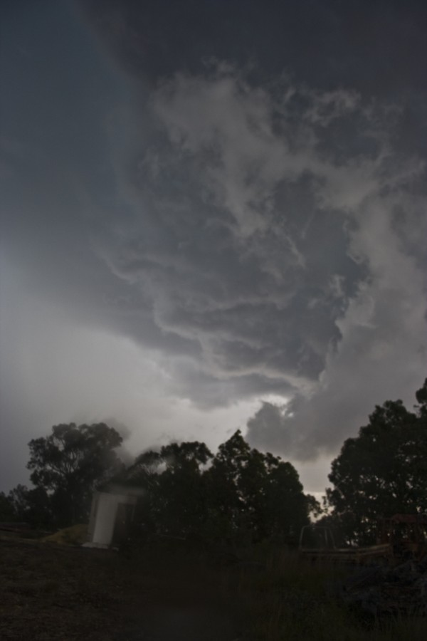
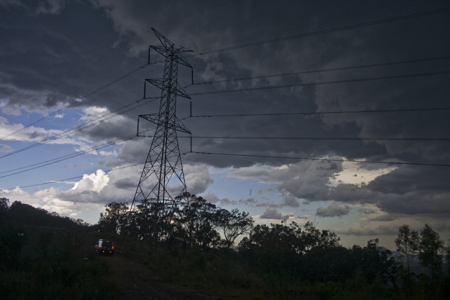


Further north near Howes Valley, a spectacular and rather large base greeted us:
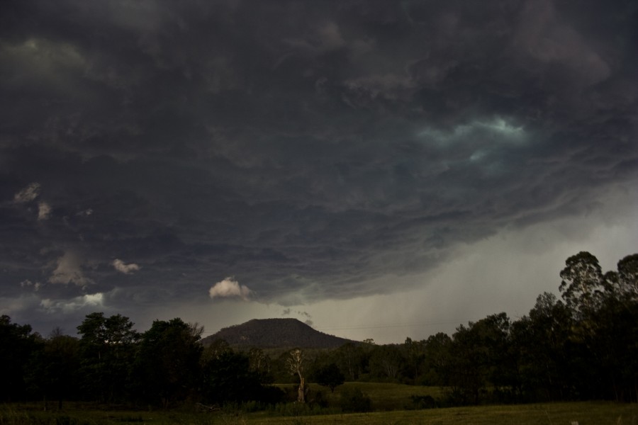


As we neared and exited the jungle around Bulga, the storm was quite orgnised despite being outflow dominant
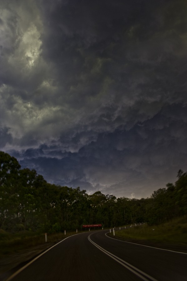
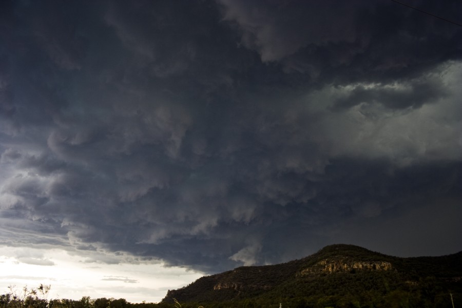
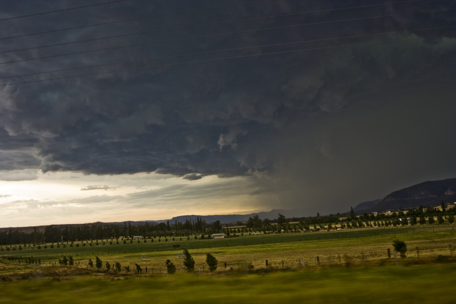


Finally south of Singleton, we watched as the cell went through a transition from what looked like a slightly weakening phase to another updraft to the east of the main core:
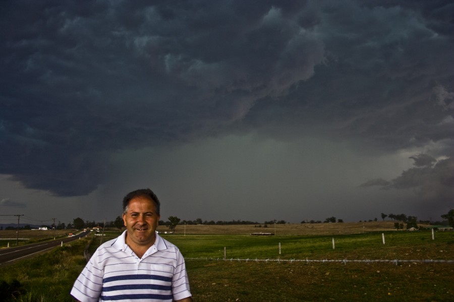
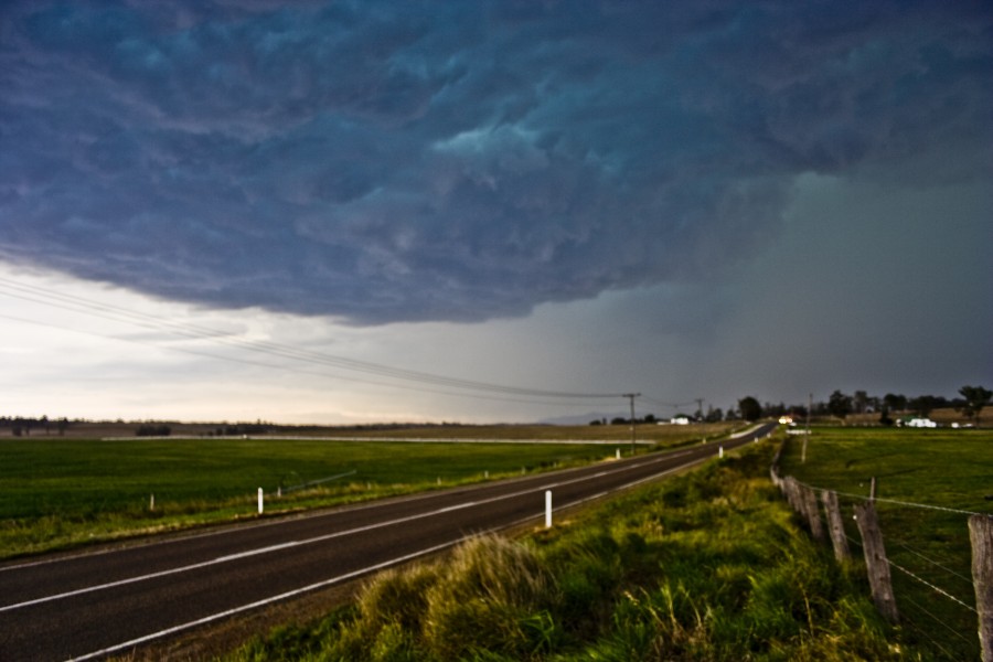


North of Singleton, the transition was already in effect, the new core and associated base extended east of the original core:
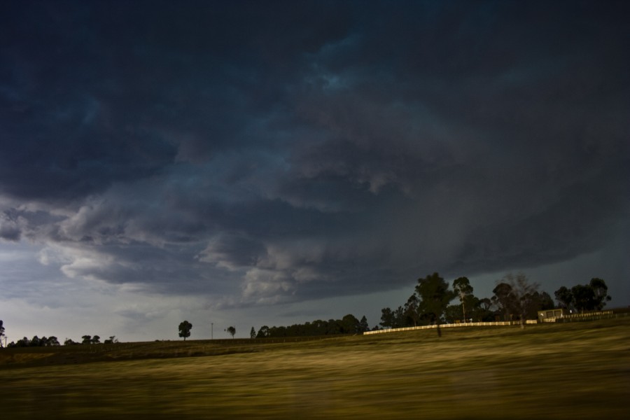


Inflow stingers can be seen in this shot as well as a thick extensive anvil:
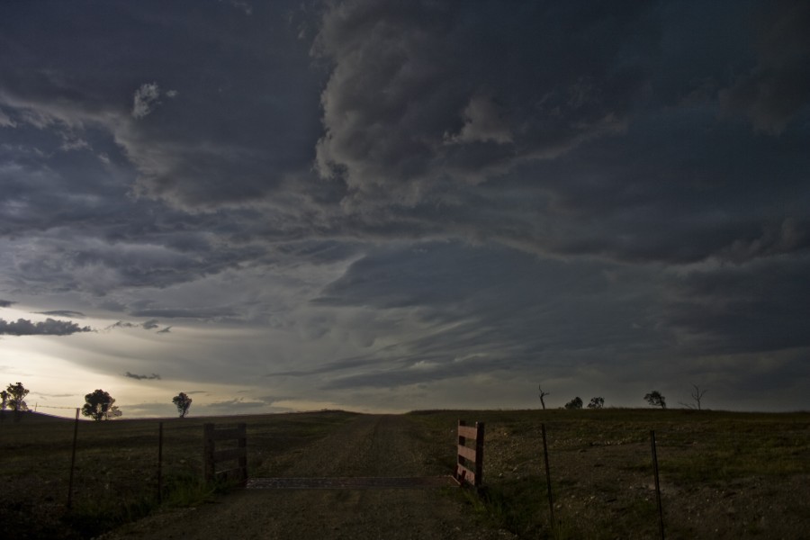

The scud here was entering a circulation which was visible with the naked eye
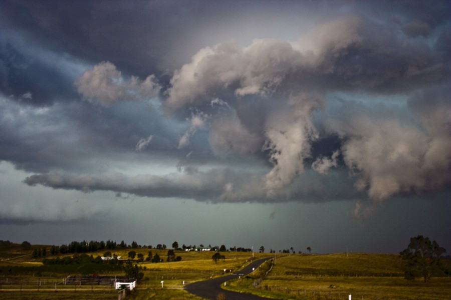


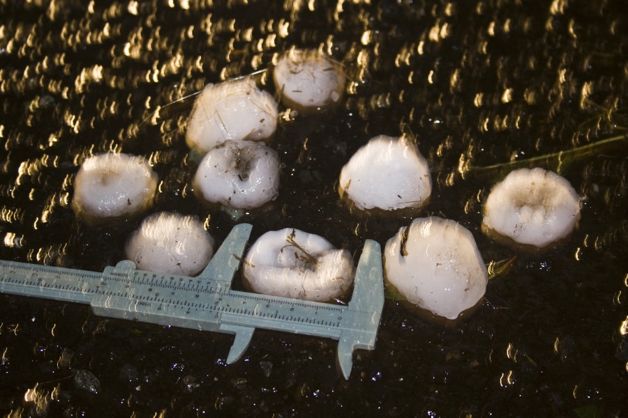
Hail core that dropped 5cm hailstones:
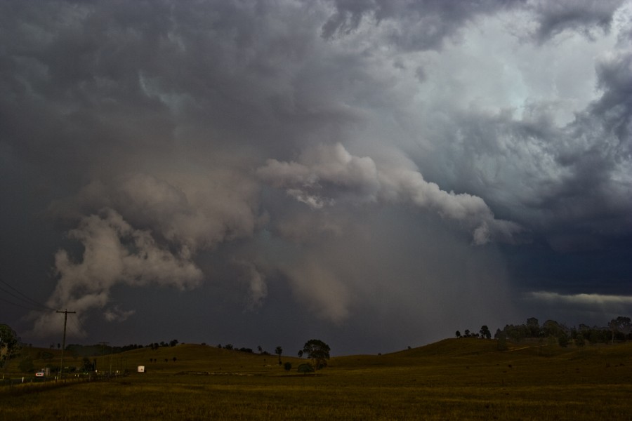


Storm finally in weakening phase
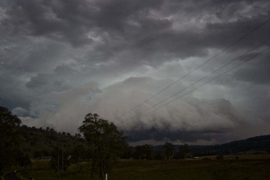


Hailstones posted by Nick Moir earlier - but here is what I could salvage without tripod - I am pretty certain the caliper was opened to 5cm


Regards,

Jimmy Deguara
« Last Edit: 27 December 2009, 08:15:27 AM by Jimmy Deguara »
-------------------------------------
Australian Severe Weather
www.australiasevereweather.com

Australian Thunderbolt Tours
www.thunderbolttours.com

Phone  0408 020468  (International :  61  2  408 020468)