Hi,
David Croan would obviously look back at this day with a smile as it was one hell of an afternoon and full of action. I happened to look through the archives and noticed this one popped out and thought I would share with all of you.

The setup was impressive with very high CAPE as rich moisture spread inland from a weak change aided by intense heating. This formed a boundary near Dunedoo that seemed to be oriented north south. Of course there may have been other boundaries but this was the moisture axis.
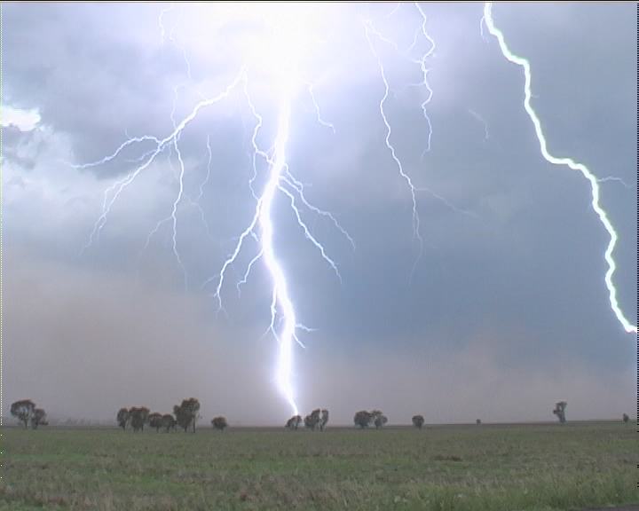
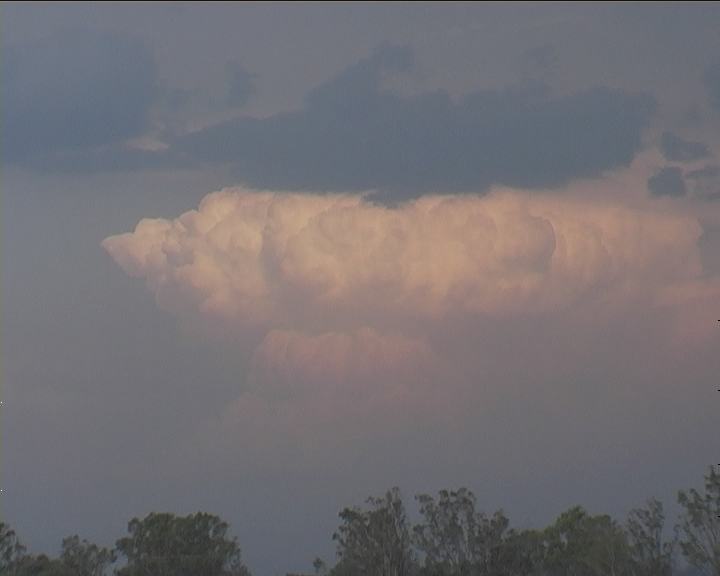
David and I had chased the coastal aras the day prior with high dew points and 40C heat breaking the cap to form an impressive MCS that ended up near Signleton. From here, David and I ventured inland and passed through the moisture to cumulus. we had lunch at Coonabarabran and then just wandered what to do next. By this stage, the cumulus had formed isolated thunderstorms but it was the storms to the east that exploded near Dunedoo and progressed north that took out interest! This was to be the beginnings of an intense and incredible afternoon with microbursts, hailstones and intense lightning barrages throughout the afternoon! From near Mullaley, we ventured to investiaget the core only to find outselves hit by a major microburst and near zero visibility. The storm was so violent that mud from the field was being splattered on our vehicle - the hailstones dented only the side panels! Even within this ferocity - the lightning and thunder was incredible! We were at the peril of the storm but eventually slwoly we made out way out the other side! The storm had virtually exploded into a beat on top of us. For the next few hours, we paralleled the storm north to Boggabri and then Narrabri. Of course, there was one of the most intense lightning barrage of staccato and series of long pulsing bolts as well as multiple activity we had ever observed! Each sucessive updraft were powerful and sufficient to entrain inflow until the massive dumps would drop into microbursts. To the east, powerful updrafts could be observed exploding with one locality experiencing a major dumping of extremely heavy rainfall!

The storm chase ended eventually near Moree and a lightning display complete with MCS. This is an example of a dream storm day Australian style and action packed at that!
Check out the report here:
http://www.australiasevereweather.com.au/storm_news/2002/docs/200212-07.htmRegards,
Jimmy Deguara