Storm News
and Chasing

[Index][Archives]
Main Index Home Page Stock Weather Photos Australian Severe Weather Forum Storm News and Storm Chasing Reports Tropical Cyclones / Hurricanes / Typhoons Weather Data and Links Wild Fires / Bushfires Weather Observation Techniques Weather Picture Catalogue Tornado Pictures and Reports Stock Video Footage and DVDs for sale
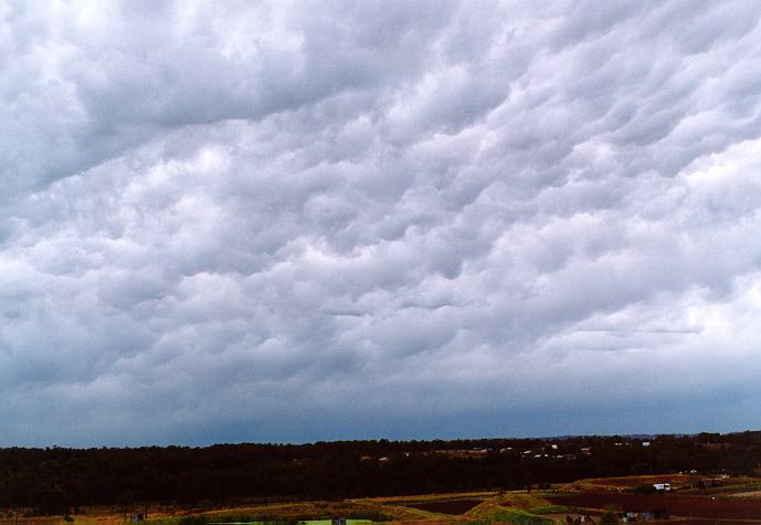
Spectacular Sydney Shelf Cloud: Tuesday 7th January 1997
by Jimmy Deguara

As usual, early light rain cleared and was followed by rapid development mostly towards the southwest. A band of thunderstorms approached around 8 � 8:30am. Since the main activity seemed to occur to the southwest, I headed for Rooty Hill only to find that the storms were within striking distance. Within the space of 15 minutes, a spectacular shelf cloud began to develop: definitely the lowest shelf cloud I have ever observed and photographed. It was almost touching the ground and the zoomed photos revealed the presence of an updraught and squall downdraught in the region below the shelf cloud. As expected, the main thunderstorm activity was in this region and general rain followed.

Synoptic Charts & Satellite Imagery

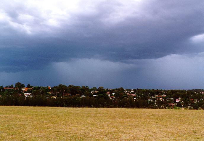
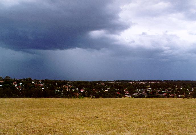
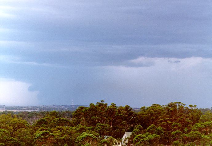
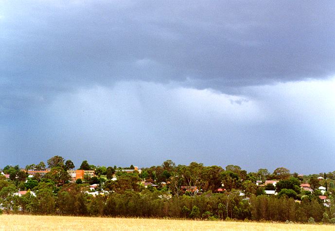
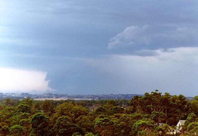
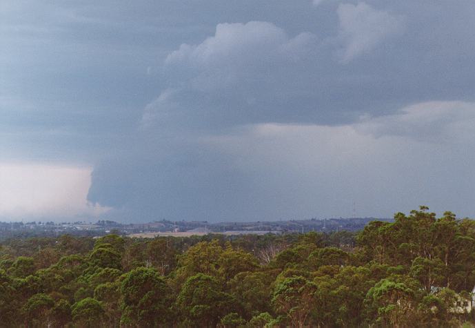
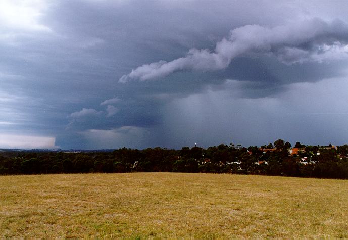
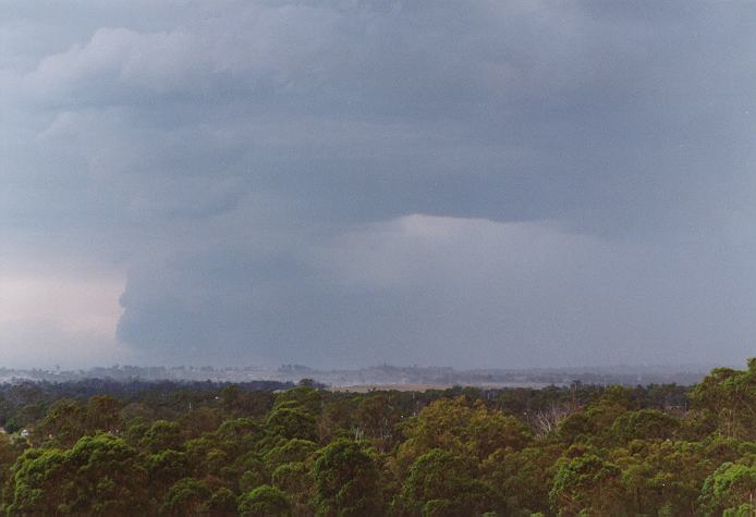
These images obtained from the Bureau of Meteorology

Infrared Satellite Image at 11am Local Time

MSL Analysis 2 pm Local Time


Document: 9701-01.htm
Updated: 5th May, 2005
[Australian Severe Weather index] [Copyright Notice] [Email Contacts] [Search This Site]