and Chasing
[Index][Archives]
Weather Data for Saturday 4th November 2000
compiled by Michael Bath
| Storm News and Chasing [Index][Archives] |
Weather Data for Saturday 4th November 2000 compiled by Michael Bath |
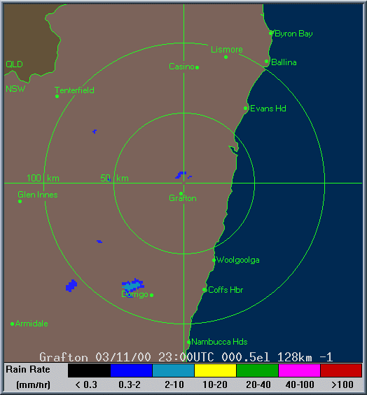
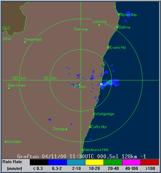
Dorrigo hailstorm is at 0130z. The second radar loop shows the cell off Byron Bay that gave the lightning show for Michael and the one east of Grafton that gave the lightning show for Jimmy.
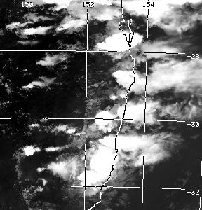
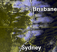
These images from US AF Weather Agency at 2pm, 4pm, 5pm and 6pm local
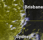
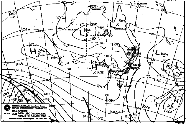
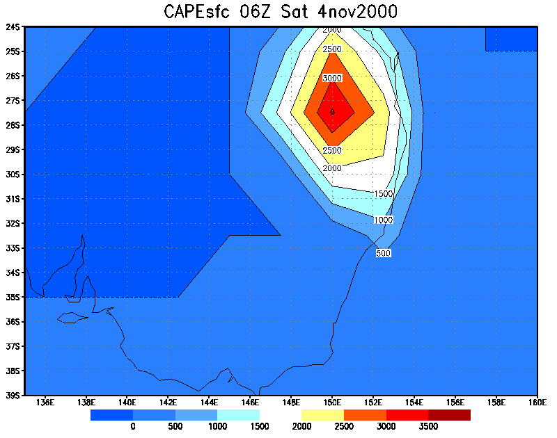
These images from Bureau of Meteorology
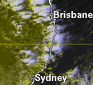
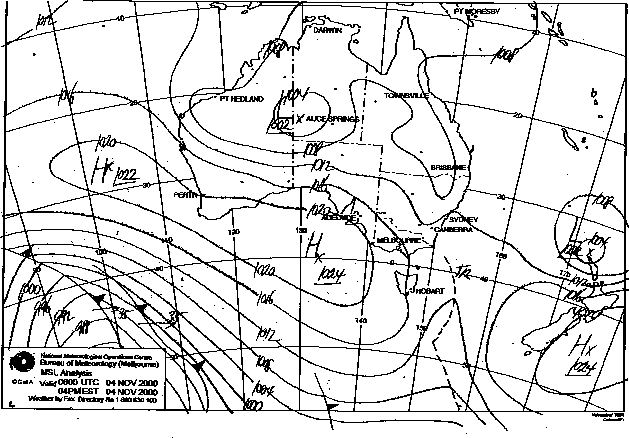
These images from Bureau of Meteorology at 11am and 5pm local.
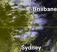
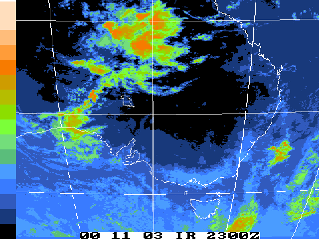
These images from NOAA
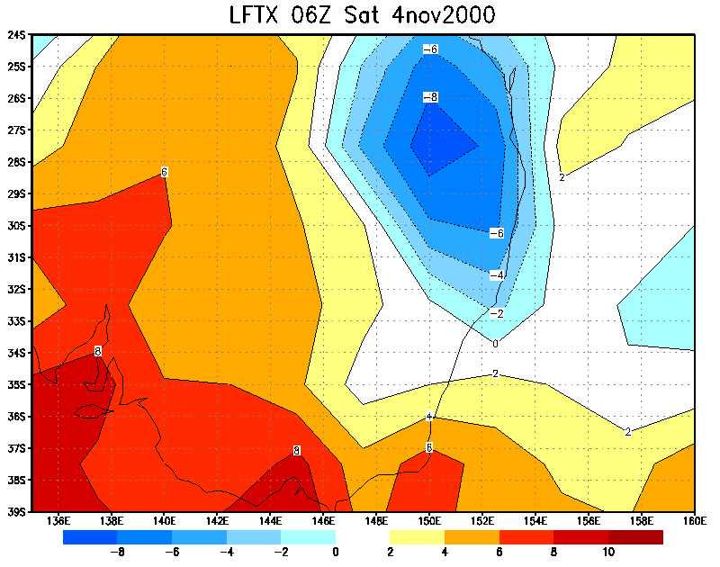
Lifted Index 5pm
local
CAPE 5pm local
|
Document: 0011-06.html
Updated: 3rd November, 2001 |
[Australian Severe Weather index] [Copyright Notice] [Email Contacts] [Search This Site] |