and Chasing
[Index][Archives]
Large Hail in the Gippsland region of Victoria: Saturday 10th September 2005
Report compiled by Michael Bath
| Storm News and Chasing [Index][Archives] |
Large Hail in the Gippsland region of Victoria: Saturday 10th September 2005 Report compiled by Michael Bath |
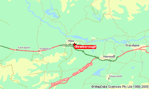
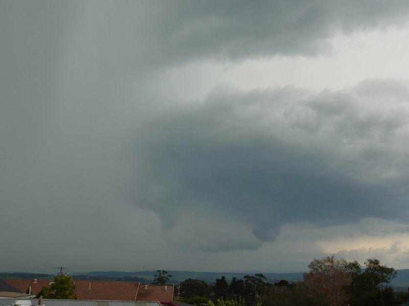
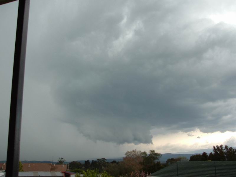
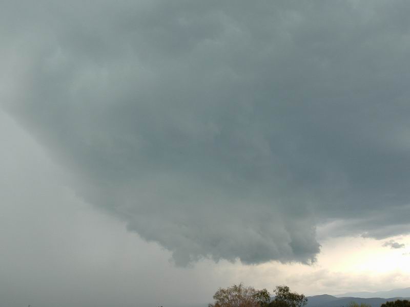
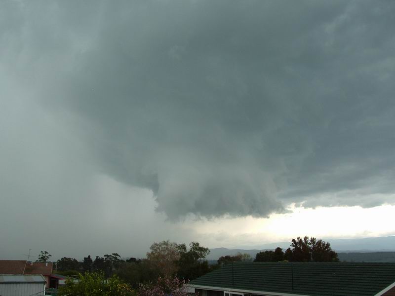
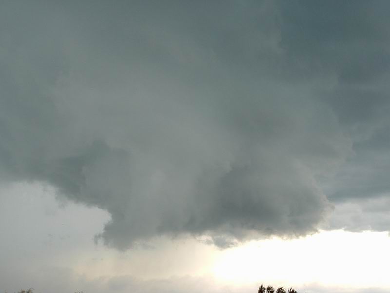
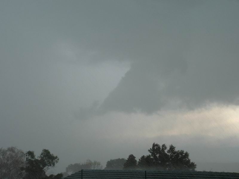
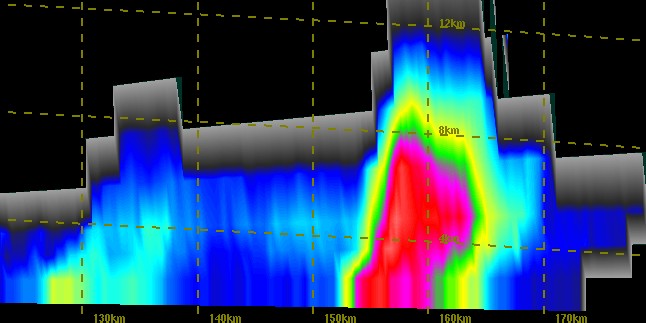
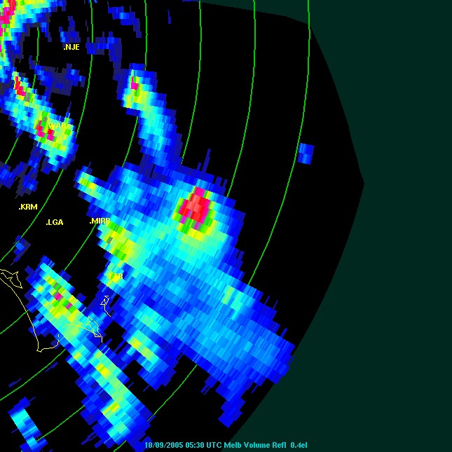
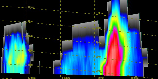
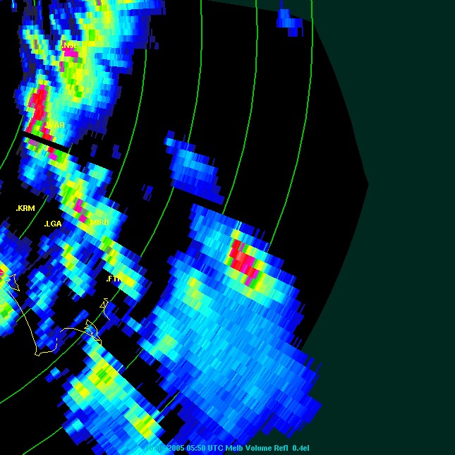
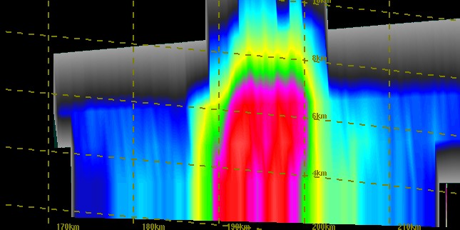
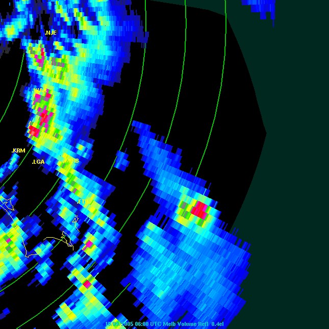
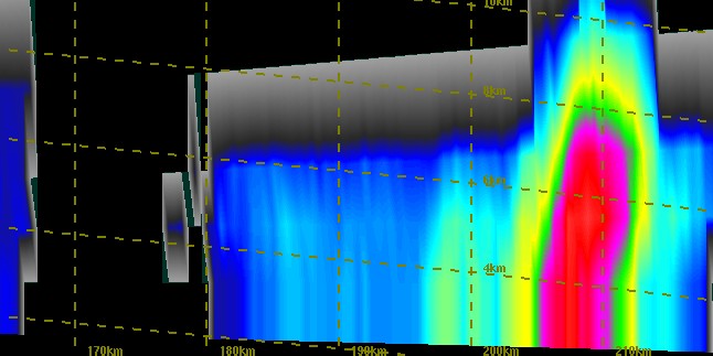
These photographs taken by Kaye from Newborough in the Gippsland region of Victoria show a rotating wall cloud from a probable supercell thunderstorm. Photo times are 14:51, 14:54, 14:55, 14:57, 14:58, 14:58 and 15:00. Hail to 5cm diameter occurred as the cell passed over Kaye's property.
Kaye writes, "These shots were taken from my balcony which look towards Mt Baw Baw which is NW direction. From what I could tell from the radar the storm came through Warburton and is the first storm on the radar images that have been posted. It was strange to me that a storm that looked so awesome had very little lightning. Apparently the storm also passed through Mirboo North and they had fantastic lightning. I have been asked about the wind at the time and as far as I can remember it was incredibly calm just before the strom and when the storm hit the wind came from the west and was very strong.

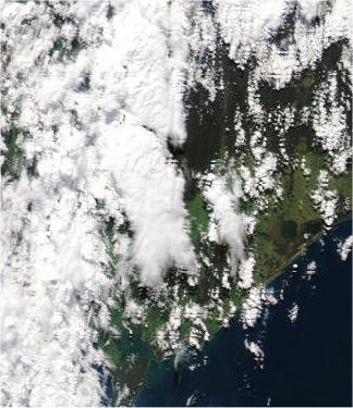
From MODIS 0430z (2.30pm local time). Storm photographed is near the centre of the image with large anvil streaming towards the SSE.
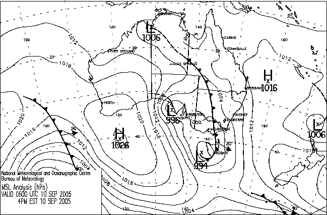
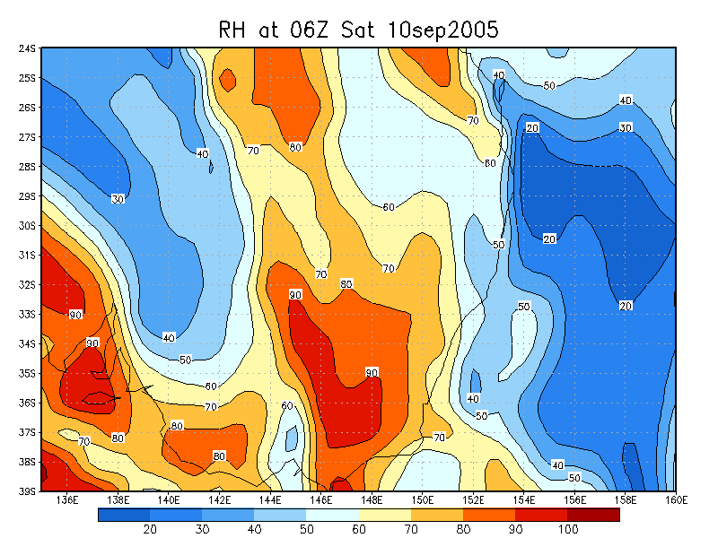
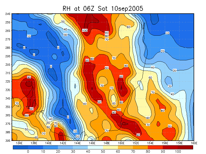
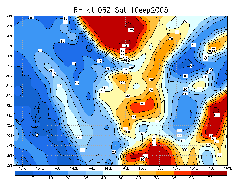
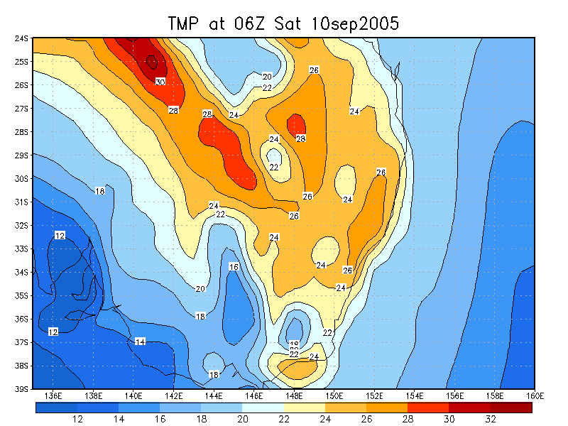
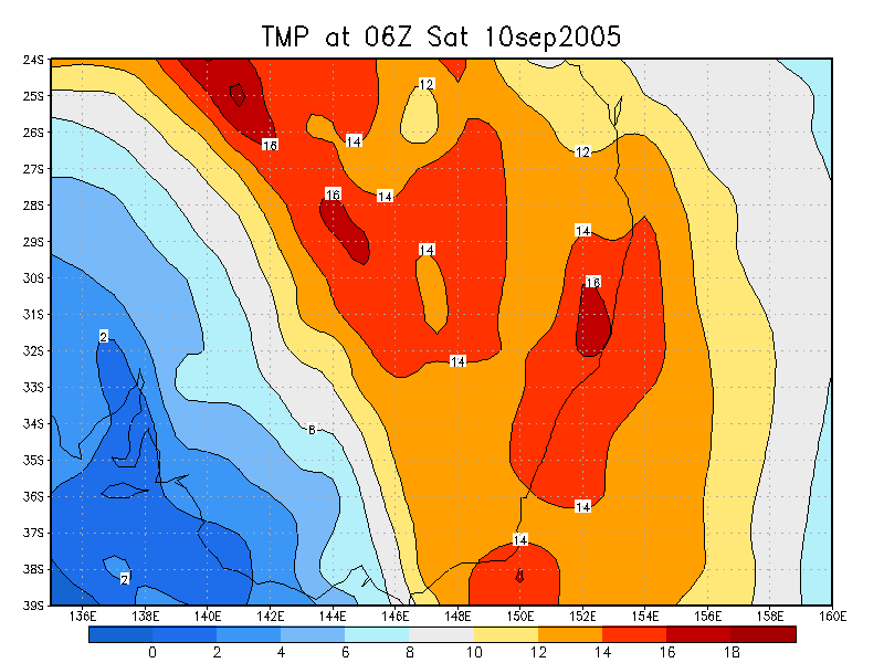
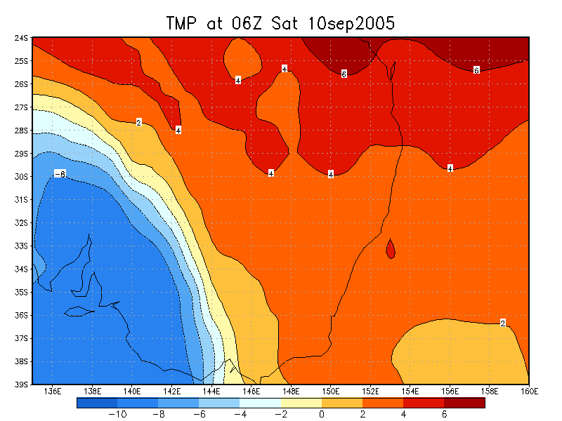
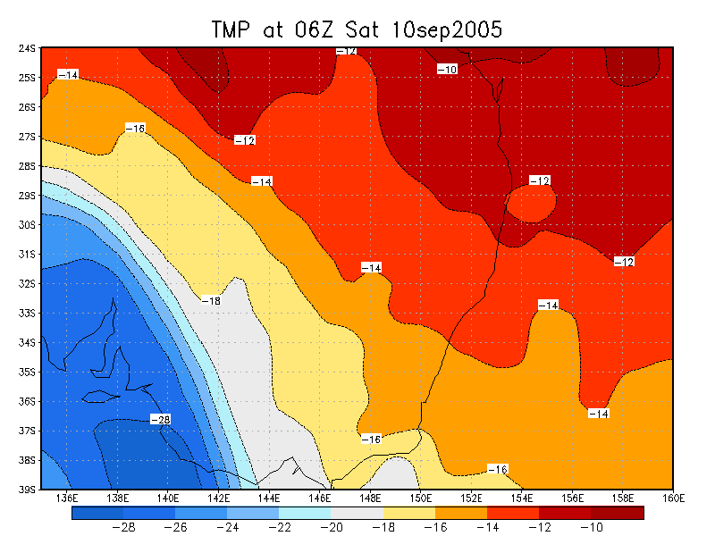
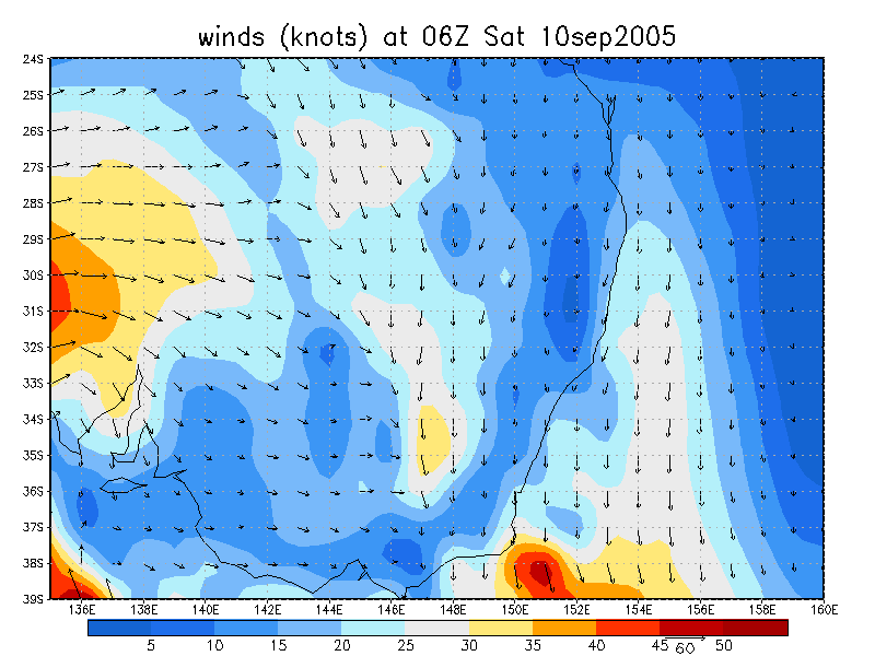
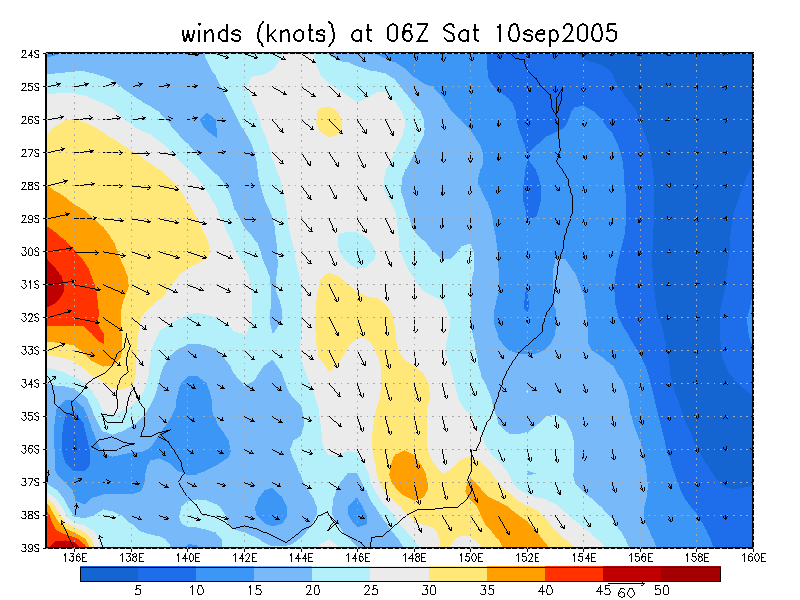
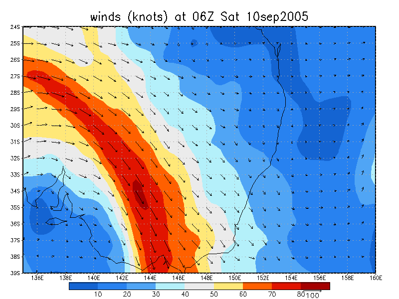
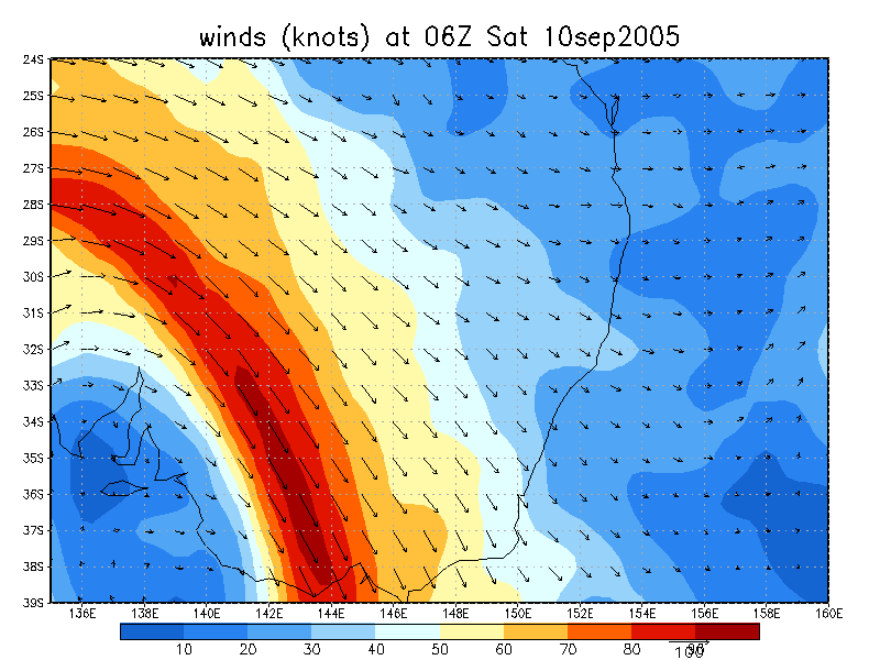
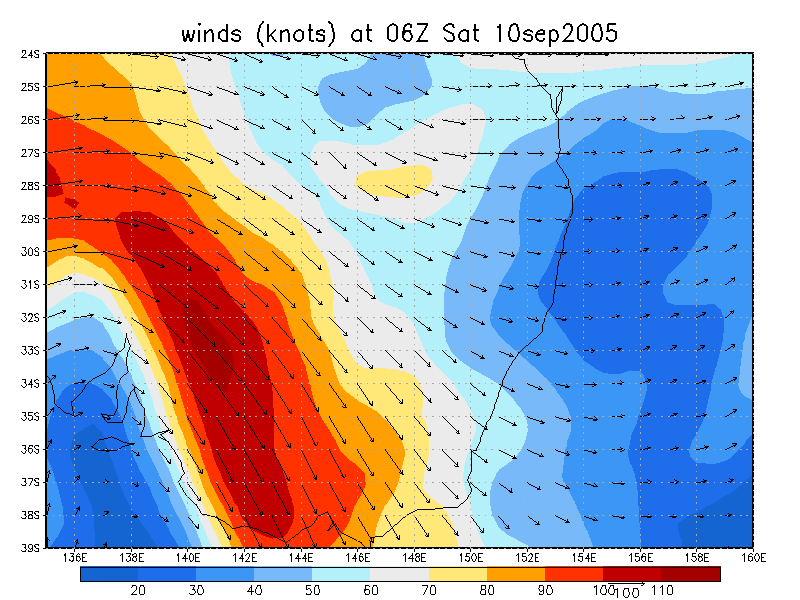
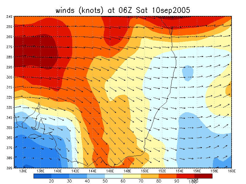
From NOAA 10/09/2005 06z analysis
|
Document: 200509-02.htm Updated: 15th September, 2005 |
[Australian Severe Weather index] [Copyright Notice] [Email Contacts] [Search This Site] |