and Chasing
[Index][Archives]
The Mudgee right moving supercell with very large hail: Tuesday 24th January 2006
Report compiled by Jimmy Deguara and Michael Bath
| Storm News and Chasing [Index][Archives] |
The Mudgee right moving supercell with very large hail: Tuesday 24th January 2006 Report compiled by Jimmy Deguara and Michael Bath |
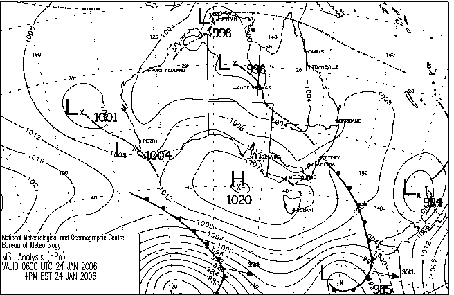
 The weather situation although changing ever so slightly on previous models had emerged as being an interesting event - particularly from a deep layer shear point of view. It was also interesting that although storms were set to move north, the wind profile would briefly enhance southward moving storms. The target region on this day was anywhere from the ranges east of Mudgee to Cassilis. A boundary or dryline was in place with west winds in the Mudgee to Ilford region and west tending to easterly along the ranges. The southeast change progressing northwards was evident over the range but making slow progress inland - in fact it basically almost stalled against the westerly winds. Temperatures at Mudgee reached 37C with dew points about 12C.
 I had initially tracked along the ranges through Rylstone but ended near Mudgee waiting. Finally around 4pm, a storm further southeast had strengthened with another storm also exploding to my east. Having developed in a region closer to the target I ventured towards a more favourable position only to find the storm becoming elevated and rapidly dying!
The decision was easier - the southeastern storm with an extensive anvil and strong updrafts taking my fancy. But these also began to weaken. Another updraft at its rear was not as impressive and yet another cumulus cluster had developed with lower bases to the west of Rylstone. This never looked impressive and it became clear something was not right - storms were not tapping into the moisture.
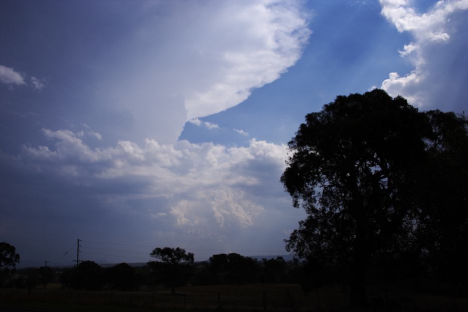
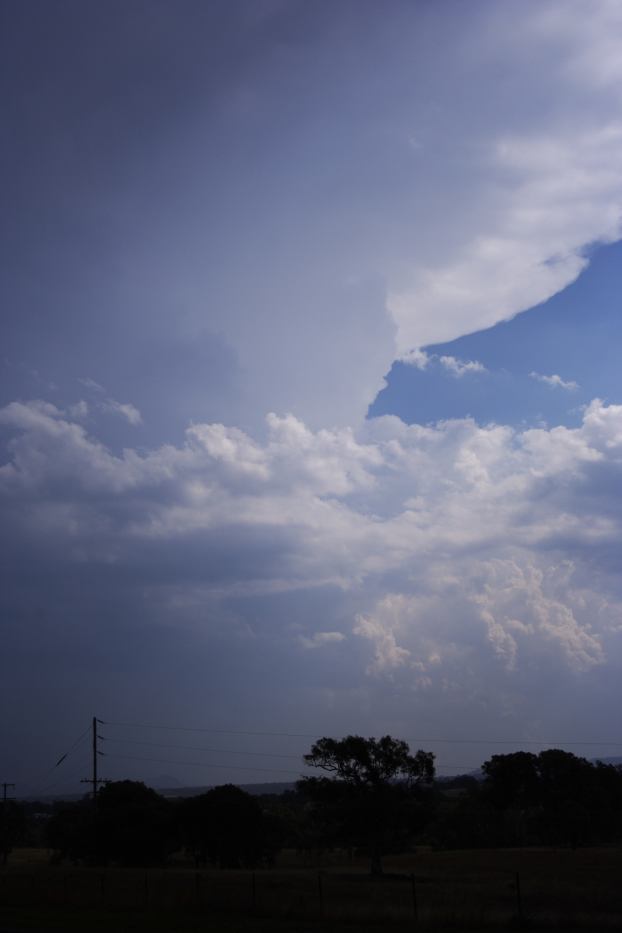
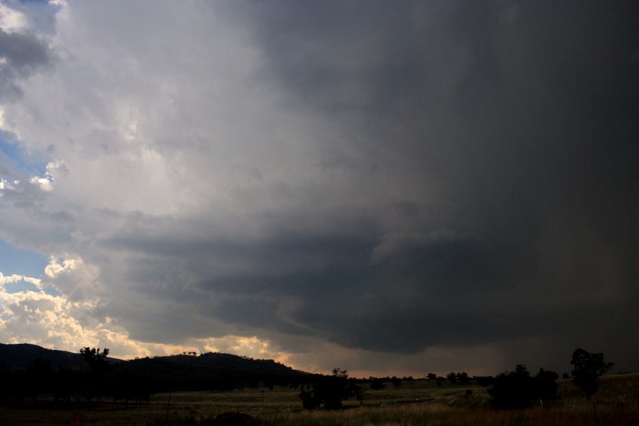
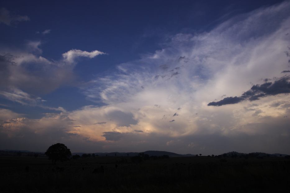
Another tower had developed towards Mudgee though it did not look impressive from this vantage point. Despite this, it persisted and sent an anvil - weak as it may have seemed so it deserved investigation. What began to unfold in the next 20 minutes is astonishing!
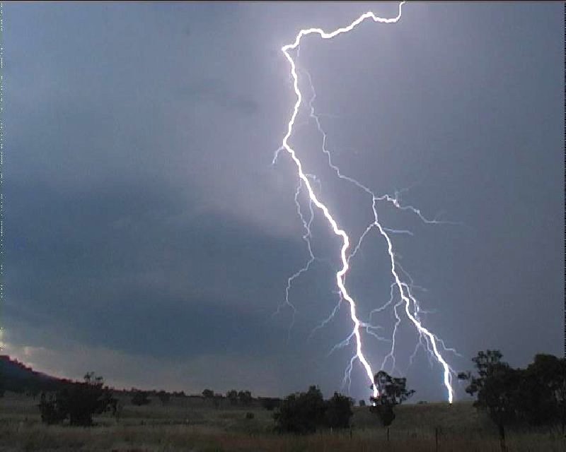
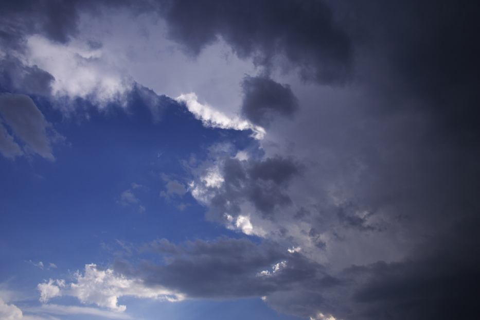
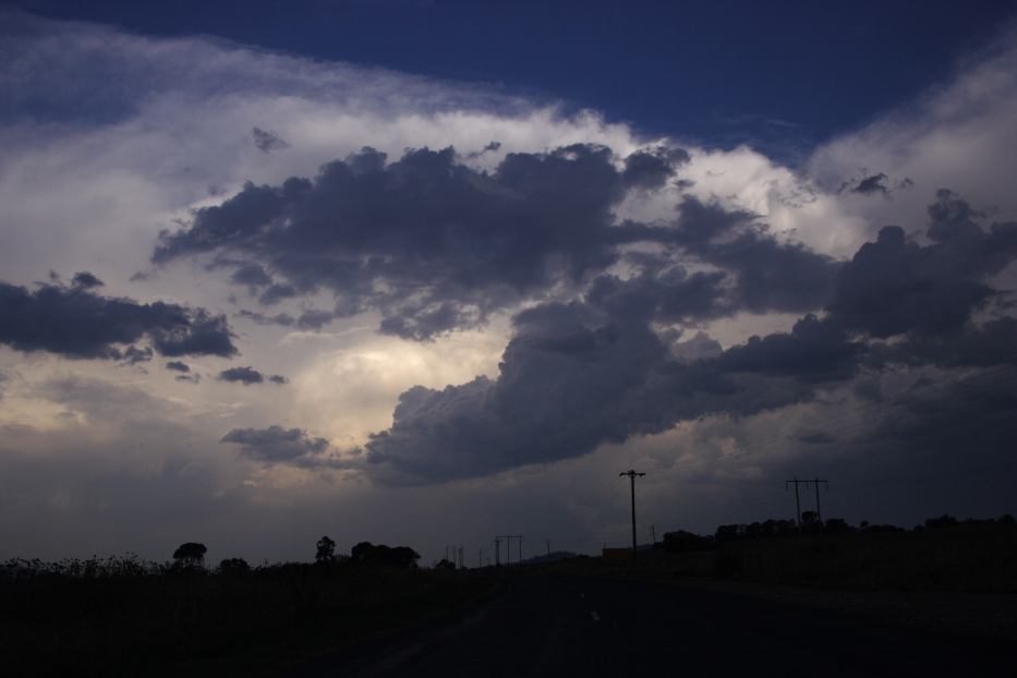
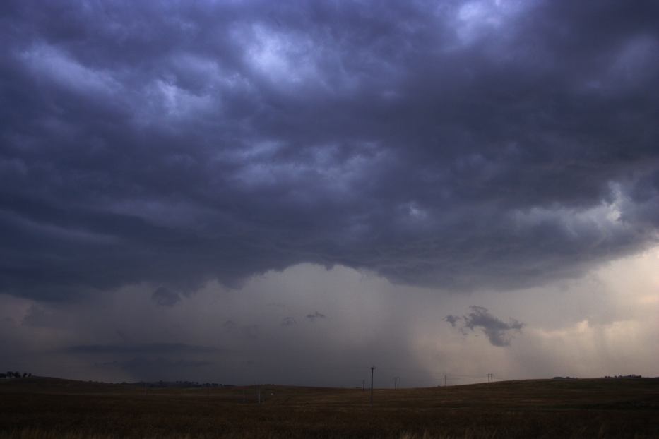
A bolt descended to the north out of what seemed to be an anvil. Another bolt confirmed this behaviour. Out of the slight haze and sunshine emerged a separation - what seemed to be a vault - I couldn't believe I was thinking this - perhaps out of hope or wishful thinking! I whispered to myself "This is like a right moving situation". Most other times it would reveal itself as an optical illusion - this time it revealed itself as a supercell!! The first bolt out of the storm and I looked for an immediate location where the storm could be filmed. The tripod and camera were working within 30 seconds of parking!
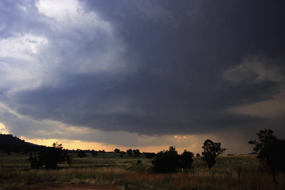
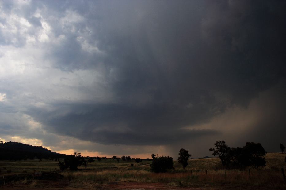
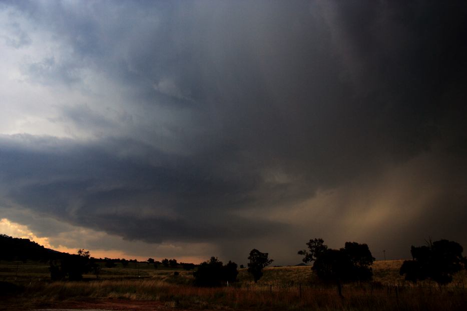
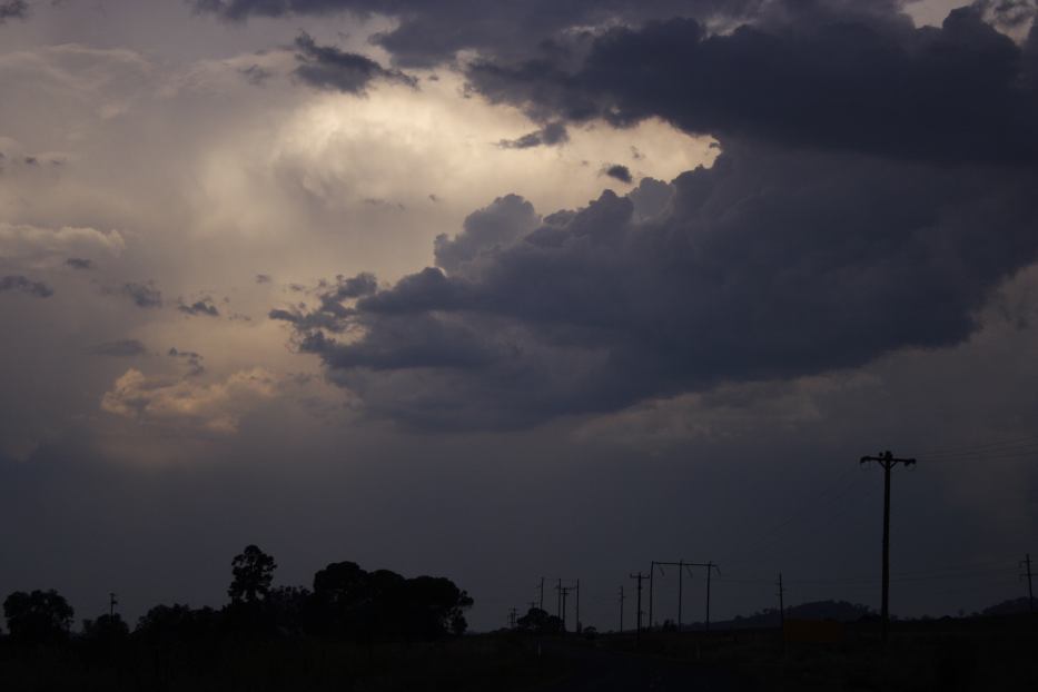
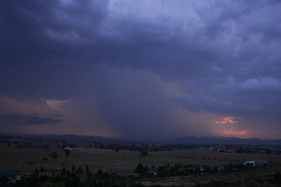
The circular base even at 10 kilometres away was so large that it could not really fit in film with the vault. Lightning that descended from the vault and circular updraft were very impressive - very well branched staccato lightning. Some bolts were pulsing. Hail streaks descended from the vault - the sunlight passing through the gap masking the damaging potential of the obviously very large hail being produced. This clearly mirrored a Tornado Alley storm situation rendering Tornado Alley chasing tactics given it was a right mover. The anvil now had pulsed and bulged vertically above my location - evidence of a recent very powerful pulse. An anvil bolt struck behind me - a real concern when thunder is audible from behind you facing the storm!
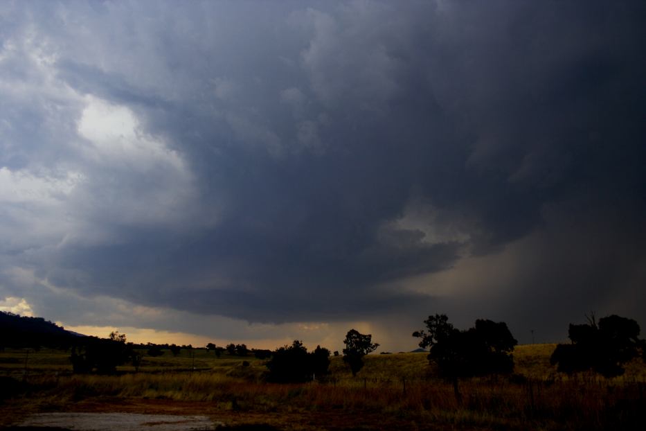
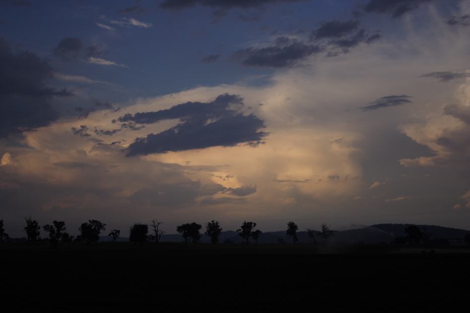
As the storm was moving south of my location it showed evidence that it was losing structure and less lightning occurring so I decided to head west.
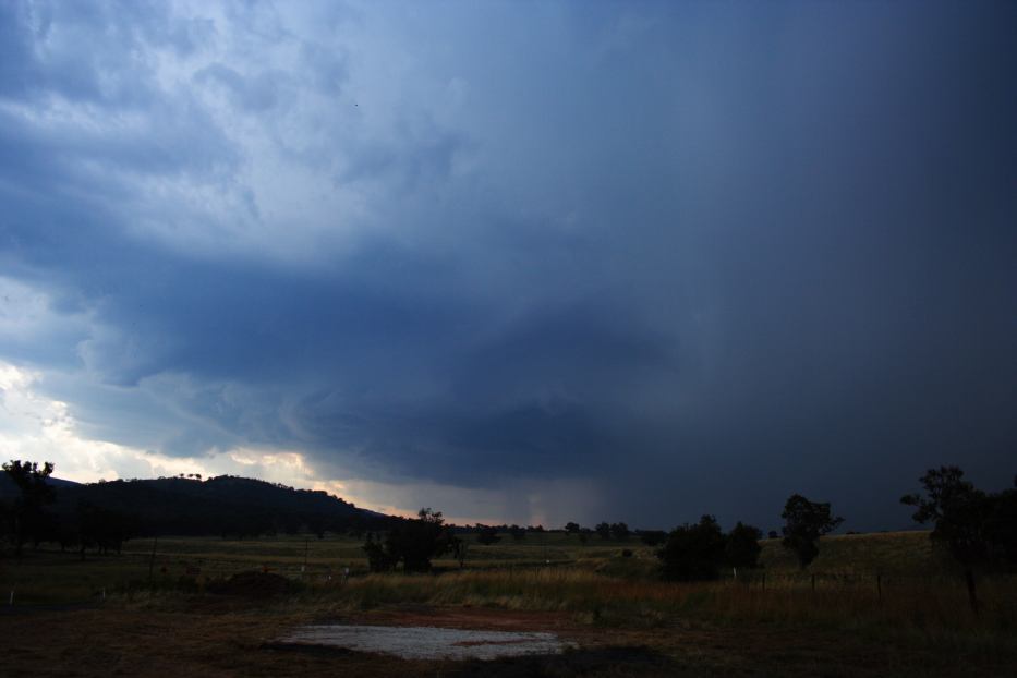
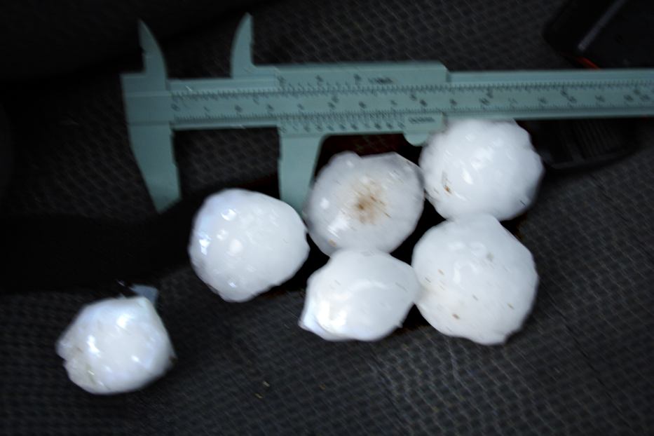
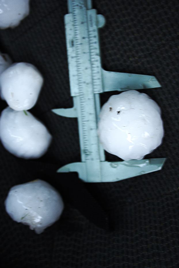
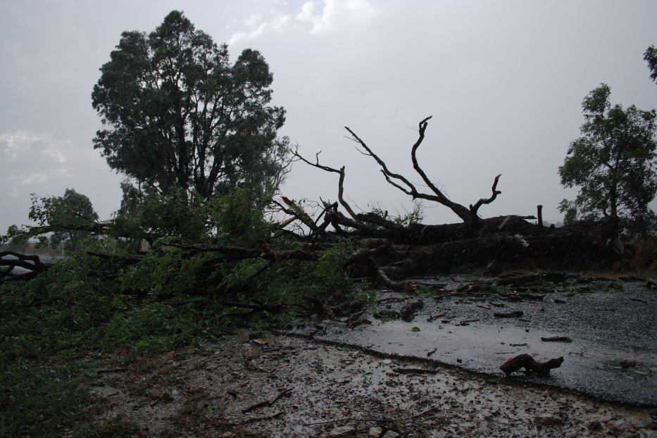
Now deep within the core, a carpet of stripped leaves emerges in some of the light treed areas - testament to the ferocity of hail size of about 5 to 6cm. This may have been falling earlier since all I was able to measure on the edge of the storm was hail to 4.5cm in diameter. Although lightning was still audible it seemed the storm was in collapse mode. And to my immediate north was the all important left mover - aiming for my target! Although I wanted to give chase, it was clear that the storm never seemed to get going. This environment favoured right movers - a situation I had not chased since The Oaks hailstorm in 2001.
Definitely check out all the spectacular video stills of this event.
From
Weatherzone
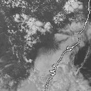
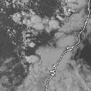
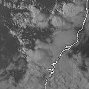
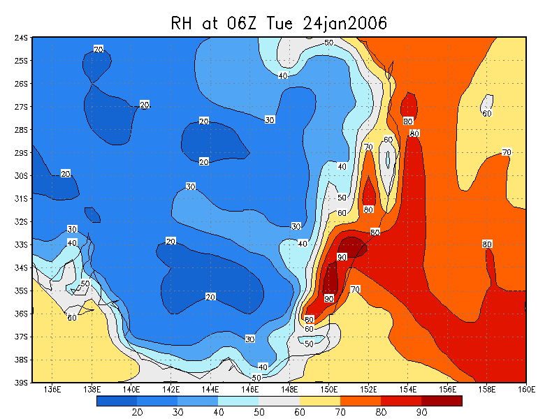
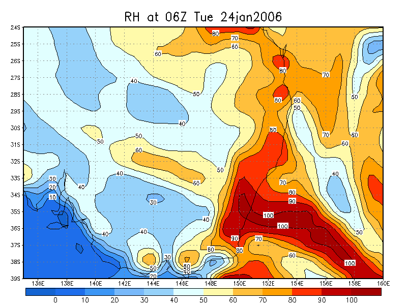
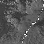 2pm to 6pm local
From
Bureau of Meteorology
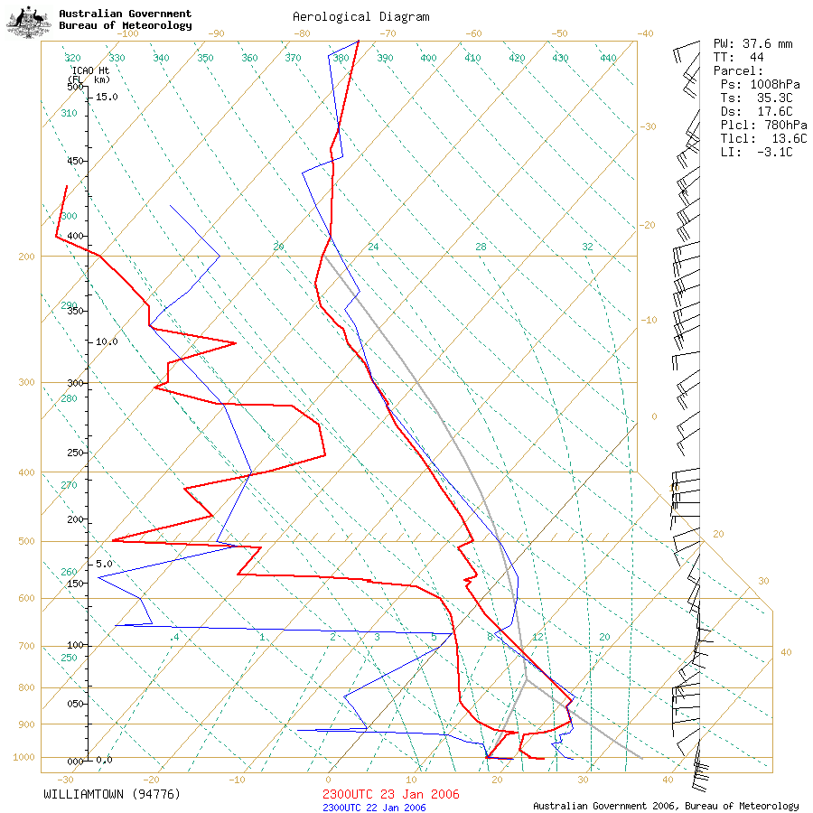 Williamtown sounding at 11am 24/01 local
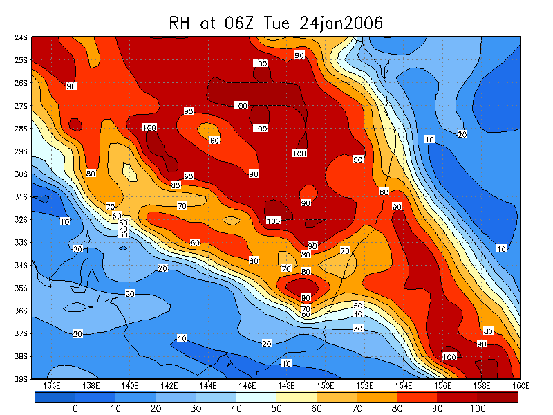
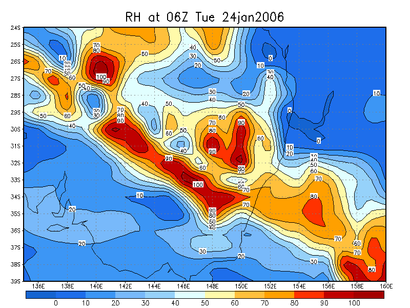
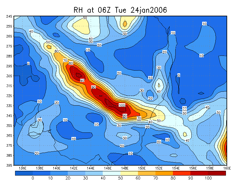
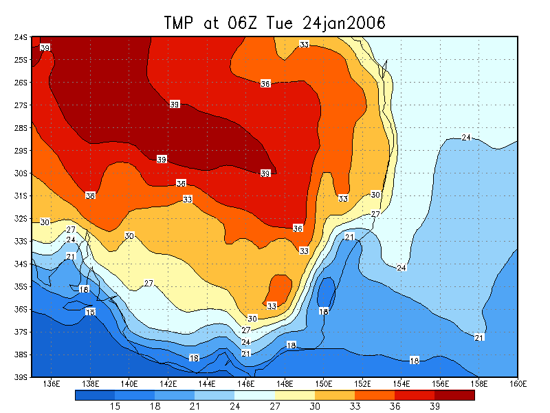
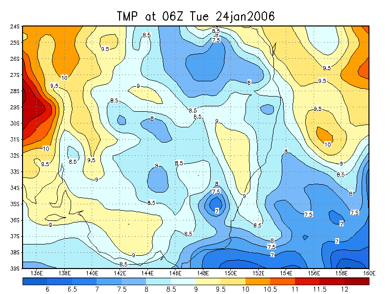
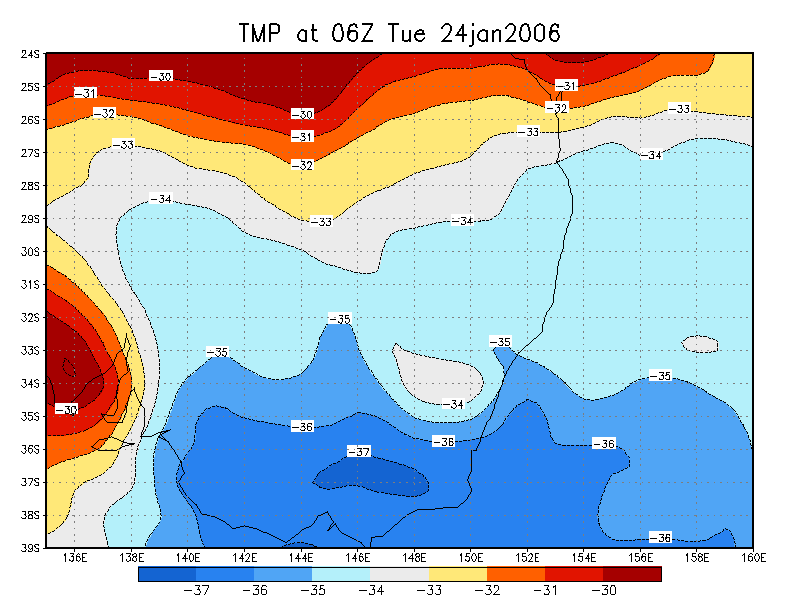
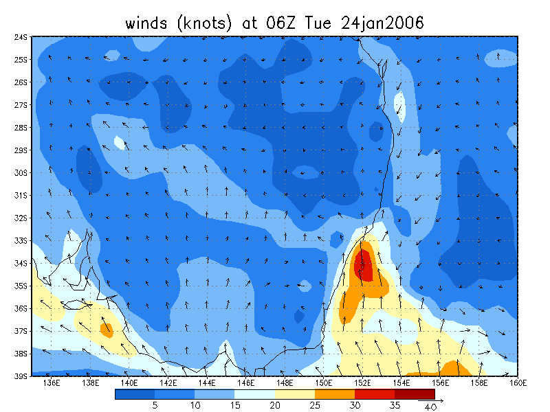
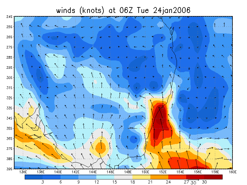
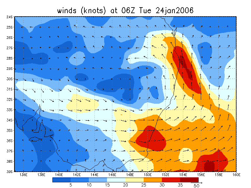
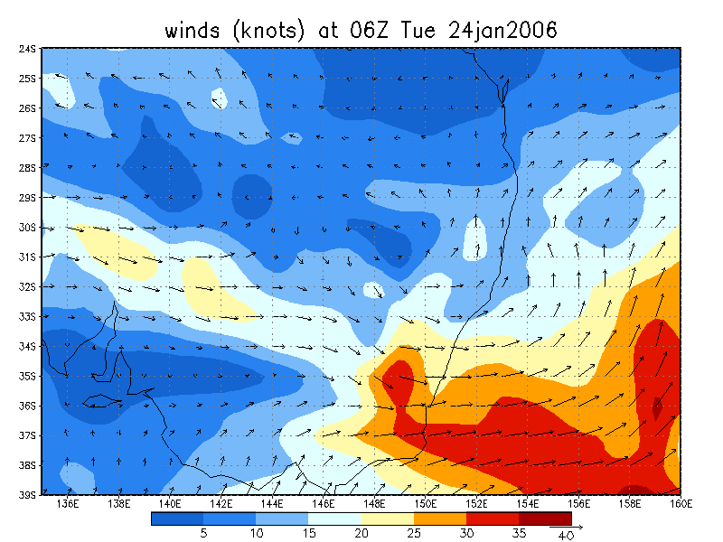
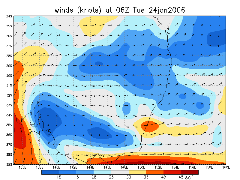
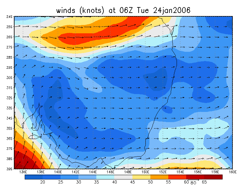
From NOAA 24/01/2006 06z analysis
|
Document: 200601-04.htm Updated: 1st February 2006 |
[Australian Severe Weather index] [Copyright Notice] [Email Contacts] [Search This Site] |