and Chasing
[Index][Archives]
Dry Line Supercells Spill into the Northern Rivers Region: Wednesday 15th November 2006
by Michael Bath
| Storm News and Chasing [Index][Archives] |
Dry Line Supercells Spill into the Northern Rivers Region: Wednesday 15th November 2006 by Michael Bath |
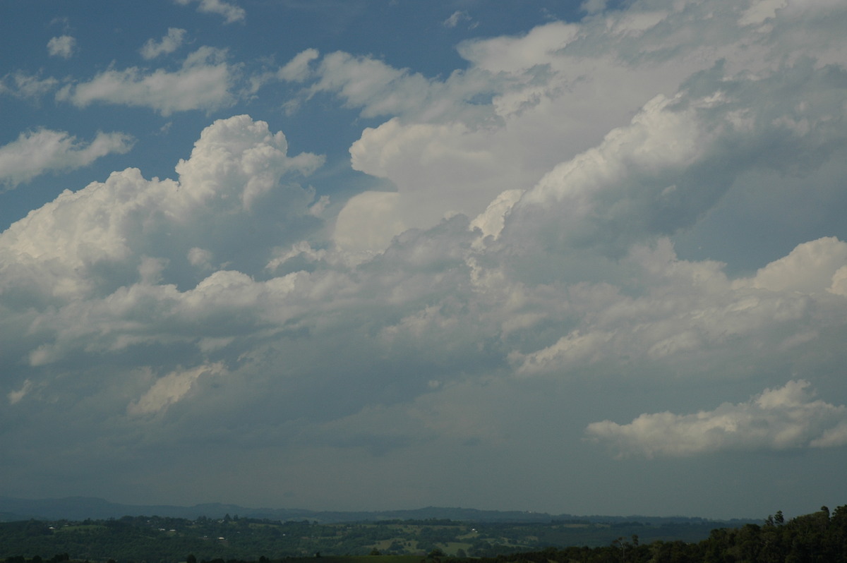
Hot and mostly sunny ahead of local cumulus development. Fresh NW-NE winds.
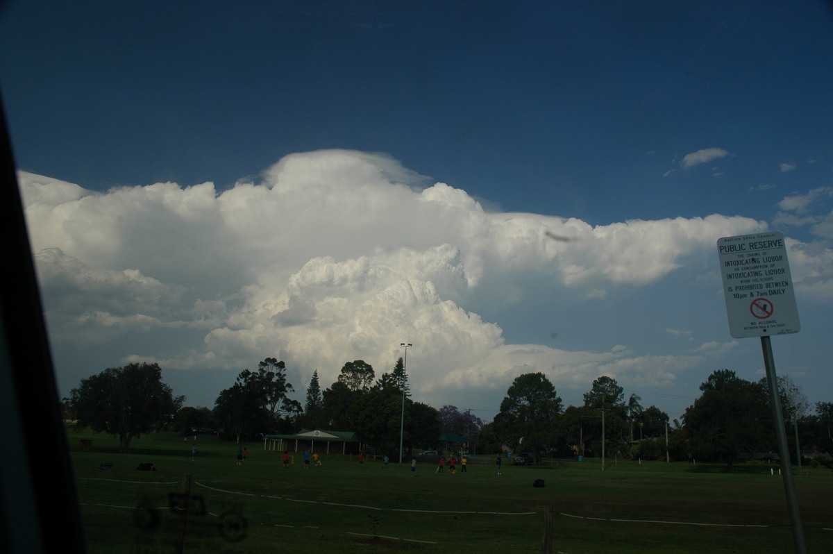
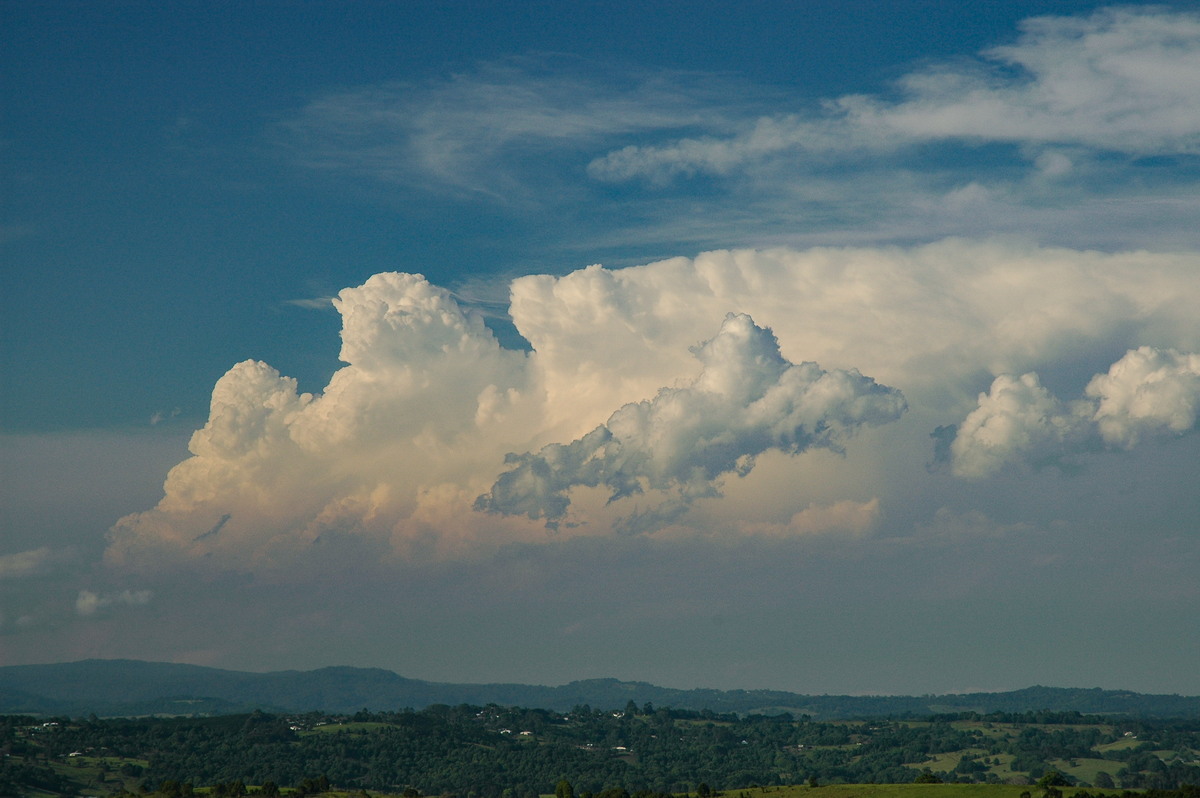
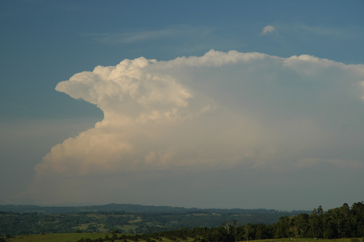
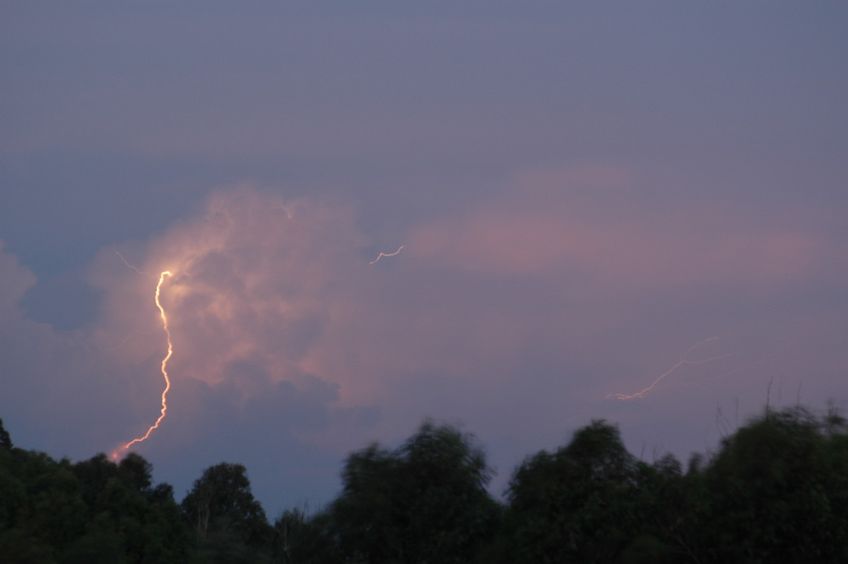
Thunderstorms, mainly in Brisbane and Gold Coast area, but spreading into Tweed Byron area in NW steering winds. Several supercells observed with the first being a low precipitation supercell crossing the Tweed. This was the right mover from a split in western Brisbane - the left mover HP supercell headed across towards Brisbane Airport.
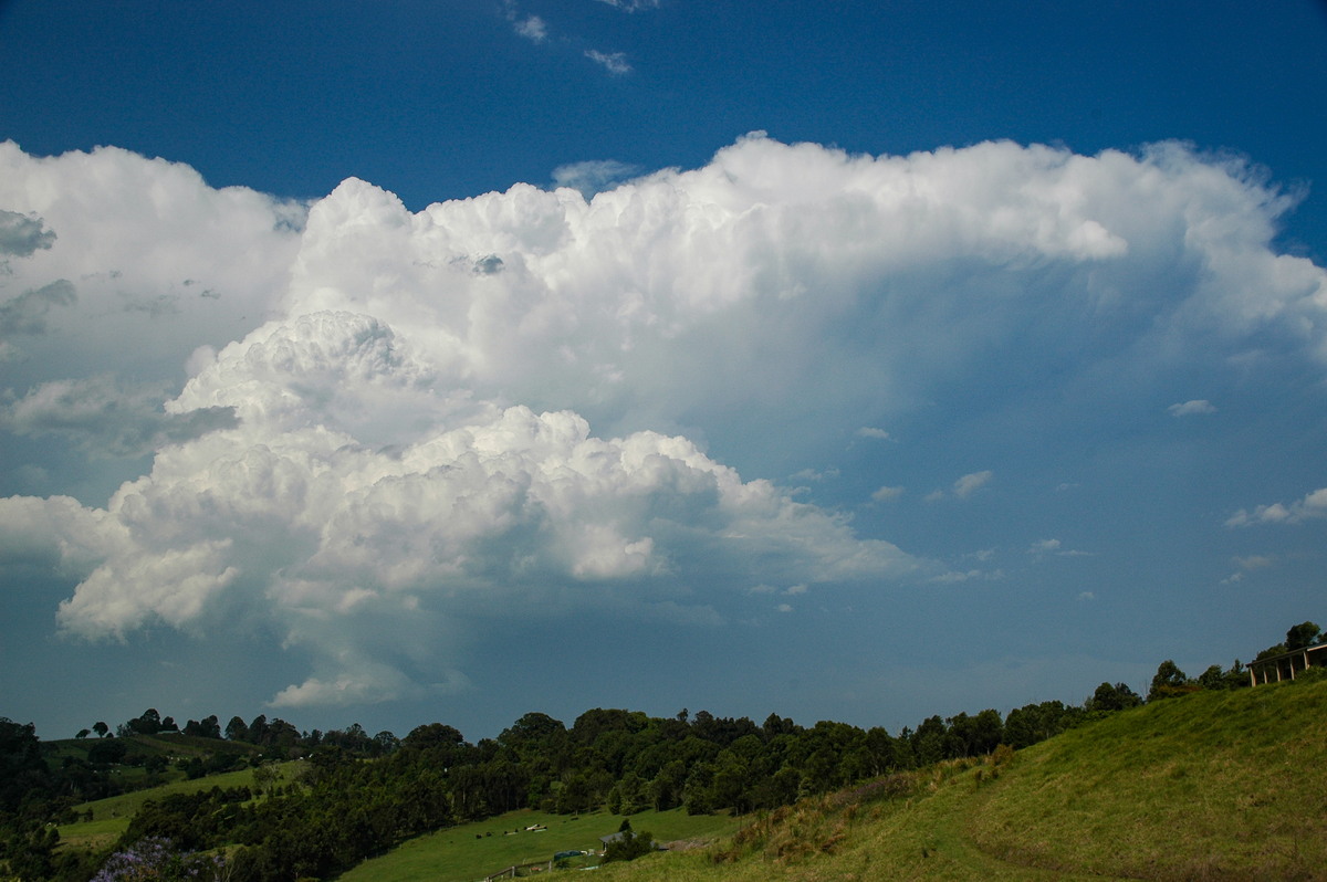
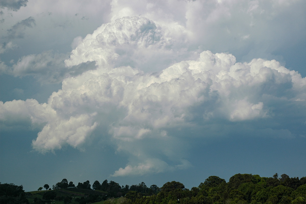
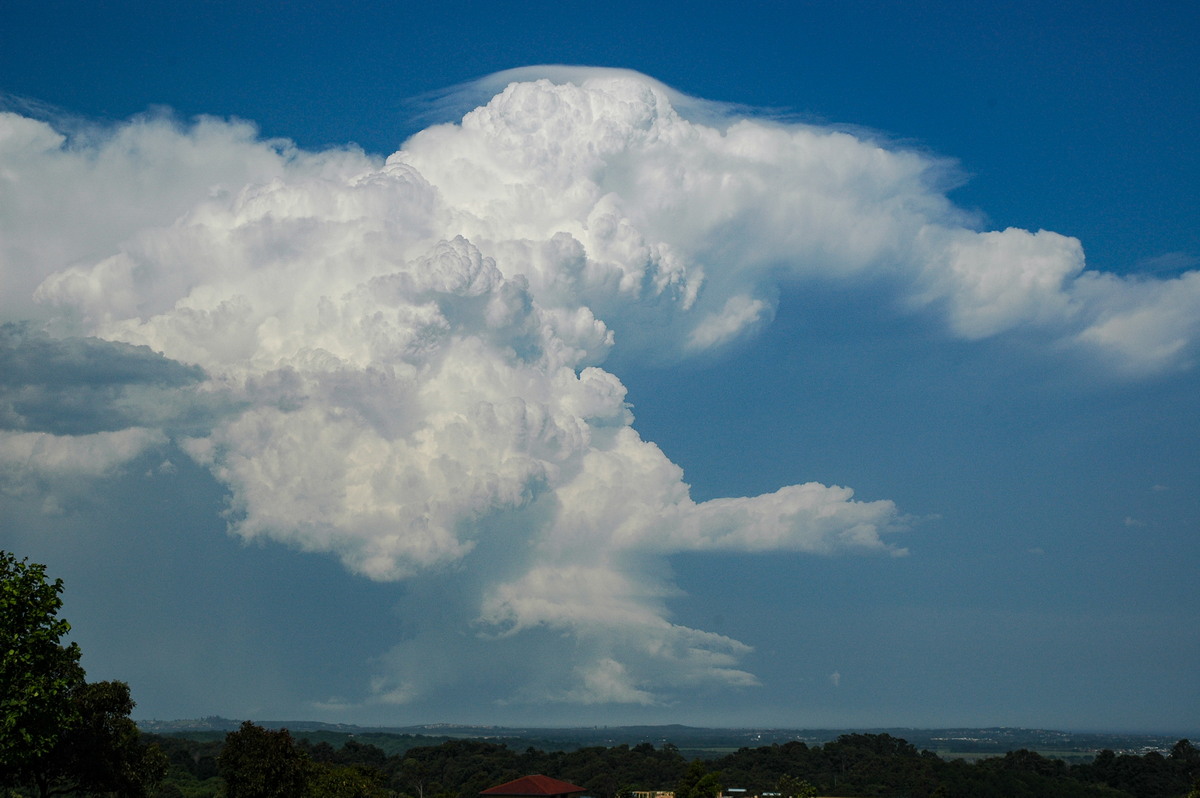
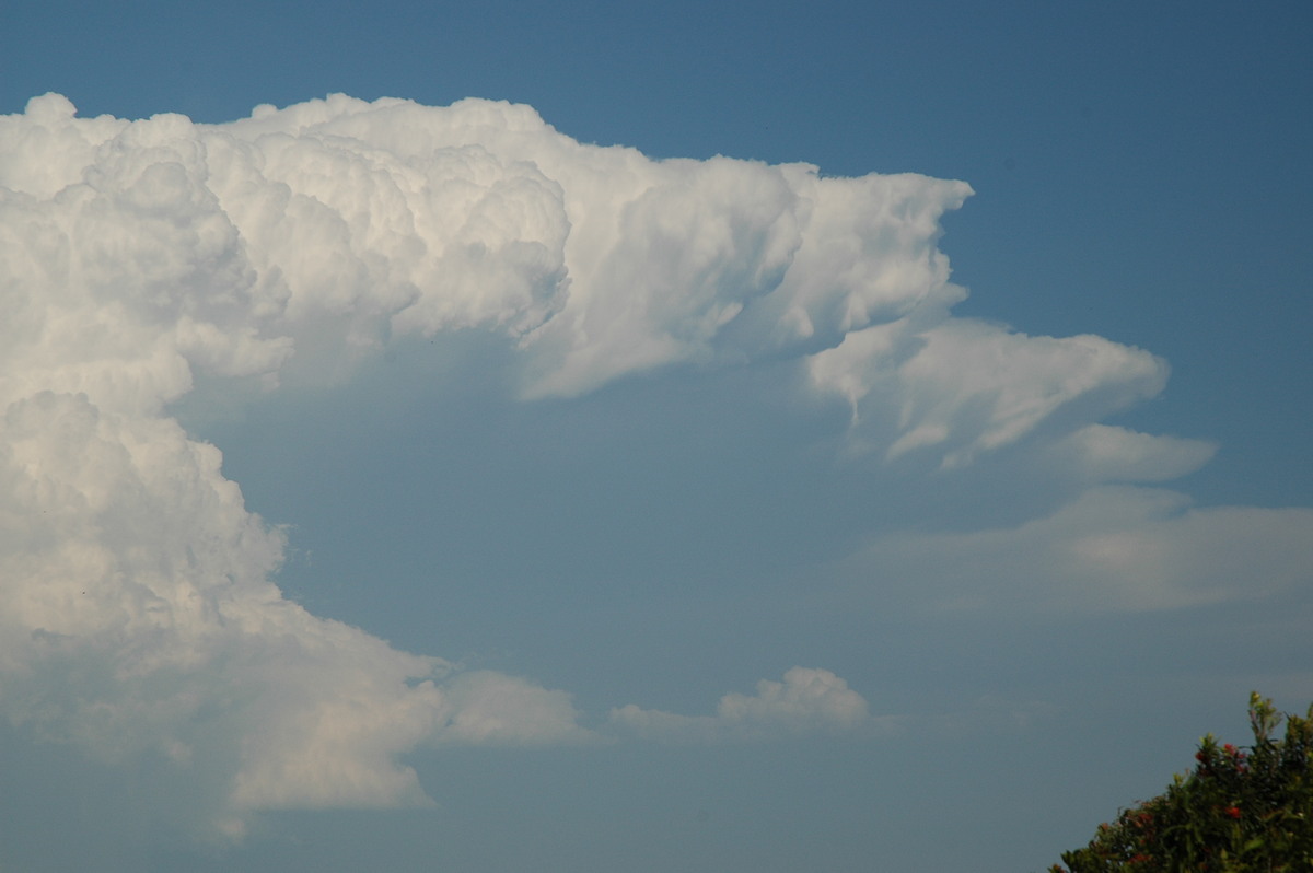
Dry line over the area persisted. Another cell crossed the Byron area after forming on the Nightcap Range. Golf ball sized hail reported at Suffolk Park at 4pm.
The last southernmost cell passed over the Gold Coast then east of the Tweed during early evening.
Discussion about this event can be found in the Australian Severe Weather Forum
More weather photos for this event can be found in the Photo Catalog 2006 Page 69 and Photo Catalog 2006 Page 70
|
Document: 200611-08.htm Updated: 2nd January 2007 |
[Australian Severe Weather index] [Copyright Notice] [Email Contacts] [Search This Site] |