and Chasing
[Index][Archives]
Severe Thunderstorm Images of the Month Archives - 2002
Other years: [1997][1998][1999][2000][2001][2002][2003][2004][2005][2006][2007][2008][2009][2010]
| Storm News and Chasing [Index][Archives] |
Severe Thunderstorm Images of the Month Archives - 2002 Other years: [1997][1998][1999][2000][2001][2002][2003][2004][2005][2006][2007][2008][2009][2010] |
|
Severe Thunder- storm images of the month: December 2002
This months photos |
|
|
Severe Thunder- storm images of the month: November 2002
This months photos |
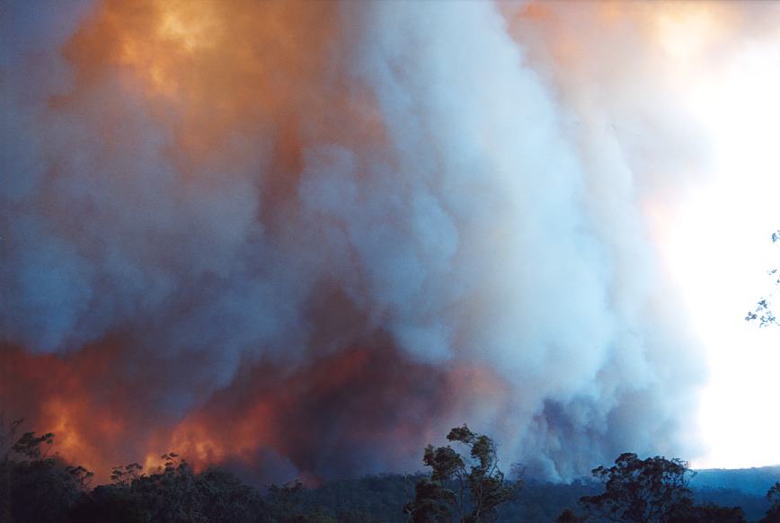
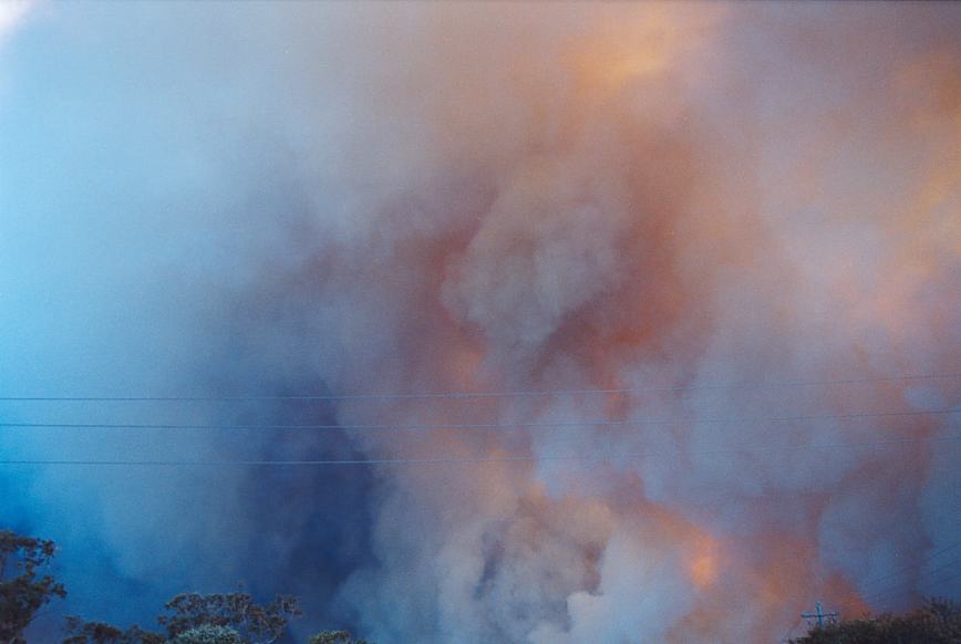
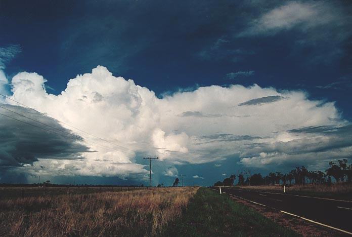
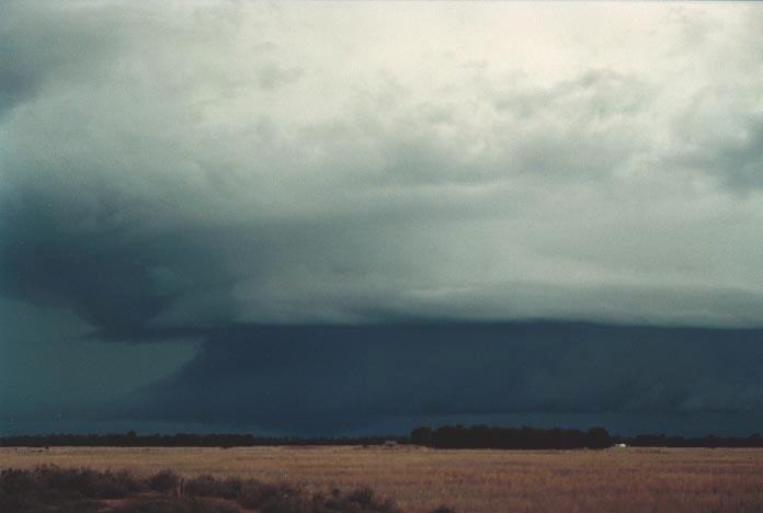
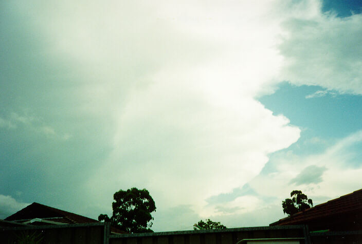
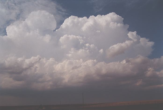
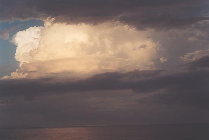
Whilst on the Thunder Down Under, the 20th November 2000 set the contrast between floods at Charleville to severe storms 300km further east near Roma in south east Queensland. Very large congestus developed in the region with severe storms developing during the early to mid afternoon period. These storms developed rapidly in a deep atmosphere but were not long lasting. Whilst at Chinchilla, a severe storm complex that had developed to the south nearer St George region approached. The side anvil was strong with powerful updraughts. As we chased nearby, we were treated to awesome structure.
|
|
Severe Thunder- storm images of the month: October 2002
This months photos |
|
|
Severe Thunder- storm images of the month: September 2002
This months photos |
|
|
Severe Thunder- storm images of the month: August 2002
This months photos |
|
|
Severe Thunder- storm images of the month: July 2002
This months photos |
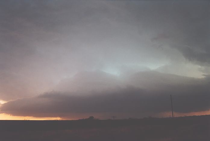
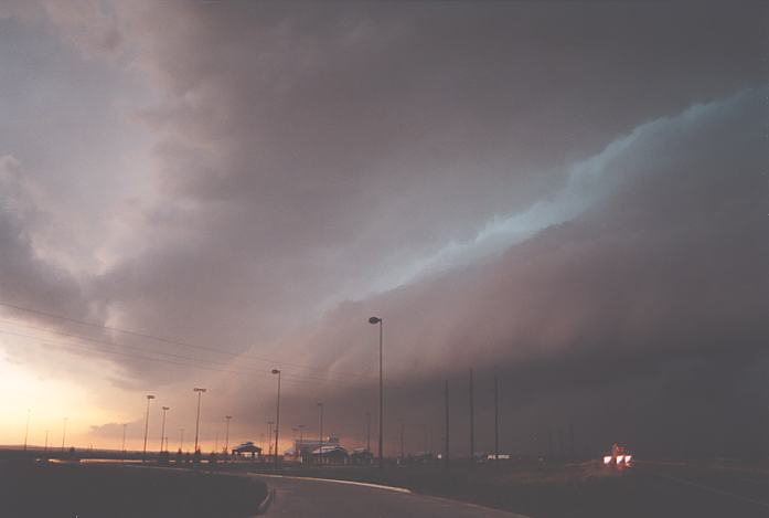
The second supercell complex showed significant inflow features from the northeast and also east rapidly converging within the supercell. This cell or any other development from it gradually moved southeast during the evening and then east during the late night period. It produced a tornado near Borger and periodically reports of hail close to 3 inches were reported within this relatively lower populated area as well as hail drifts. Click here for access to more of the 2002 US photographs.
|
|
Severe Thunder- storm images of the month: May 2002
This months photos |
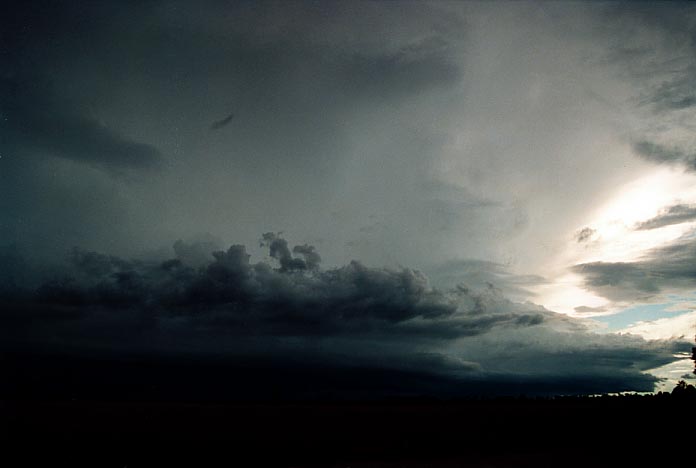
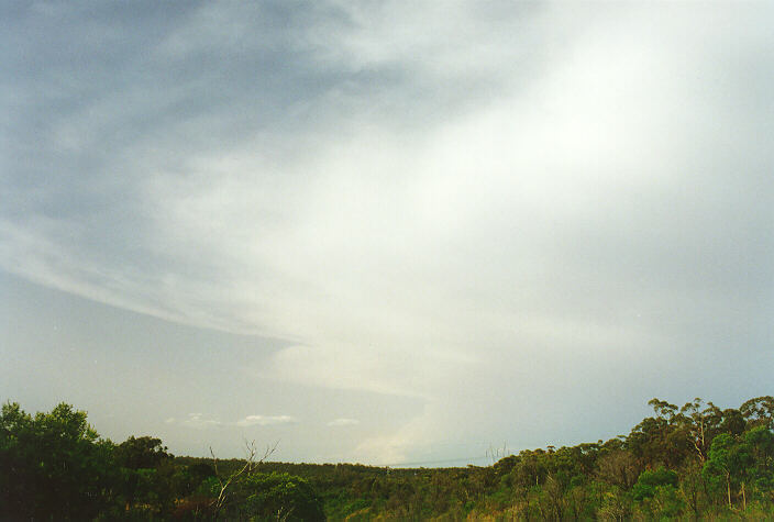
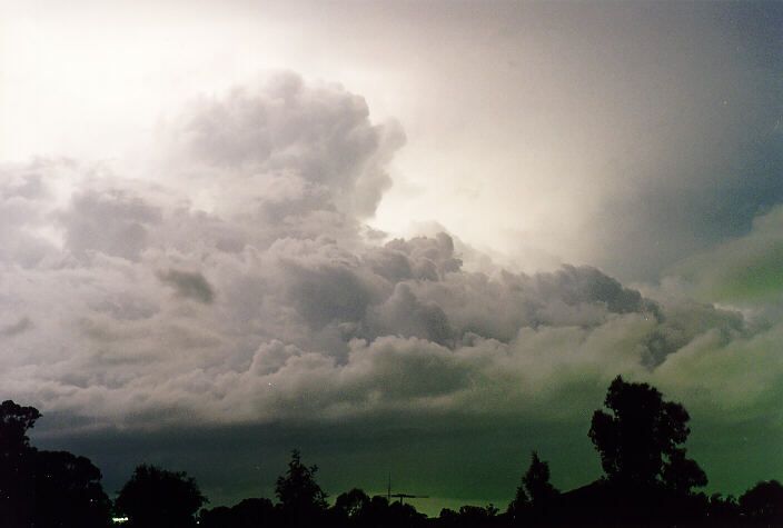
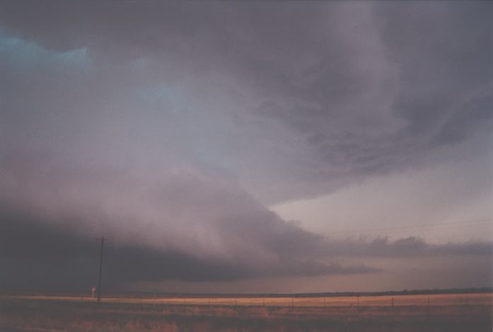
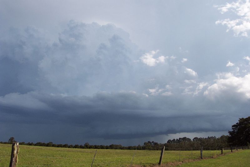
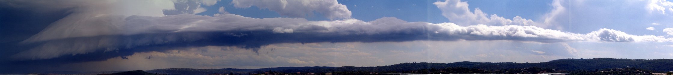
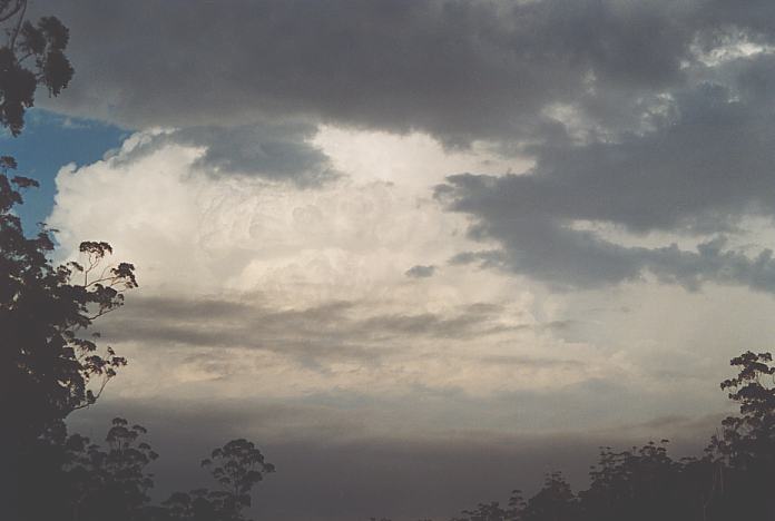
With a cut-off cold pool creating an environment for cyclogenesis over central and northern New South Wales, very warm and humid conditions and a trough in north-eastern New South Wales was a sufficient trigger for thunderstorms. And this was separate from the line of thunderstorms that developed in central New South Wales later. Nevertheless, isolated thunderstorm activity developed and became severe south of Lismore. An extensive backsheared anvil developed with progressive crisp updraughts given the steep lapse rates and dry air intrusion aloft.
As the storm approached, a probable wall cloud became visible but it seemed the whole system was becoming more oriented into a spectacular linear shelf cloud formation. Lightning was also becoming more frequent as it slowly approached. The left moving nature of the storm and reasonable wind shear in the lower to mid layers meant this storm was probably supercellular. Hail to 3cm was reported.
|
|
Severe Thunder- storm images of the month: April 2002
This months photos |
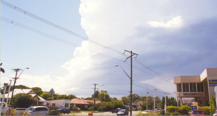
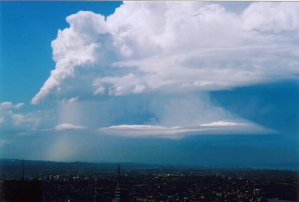
The 8th February
2002 certainly produced some amazing storm structure as well as severe weather.
Wind shear was excellent aloft and was sufficient for supercell development. Once
storms developed, they developed rapidly and most became supercells. The first
storm passed south Gosford and on to Avalon. This certainly displayed more Low
Precipitation (LP) structure. Taken by Judy Mayo
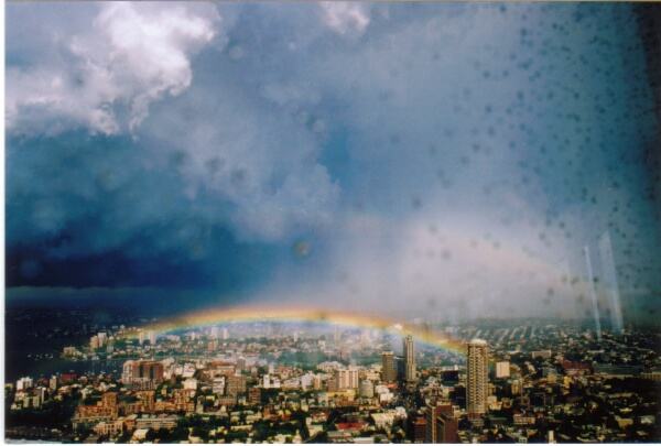
The second storm to pass through Sydney was equally as spectacular and perhaps developed more into the classic supercell structure.
Mario was also able to view both of these events from the Centre Point Tower.
|
|
Severe Thunder- storm images of the month: March 2002
This months photos |
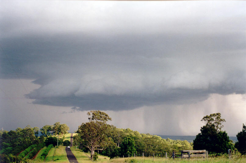
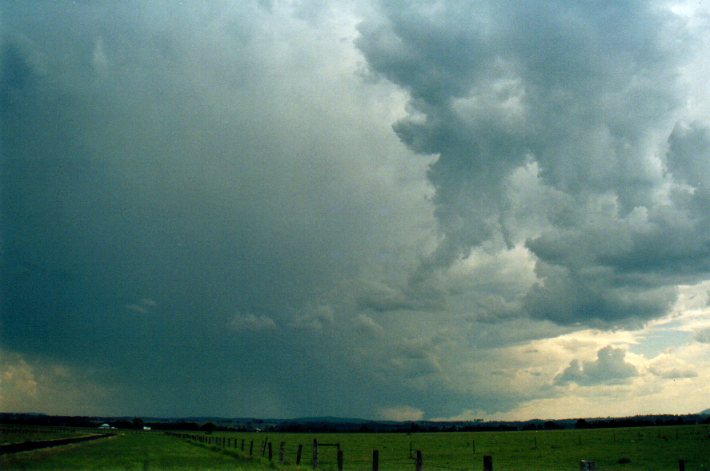
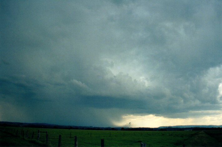
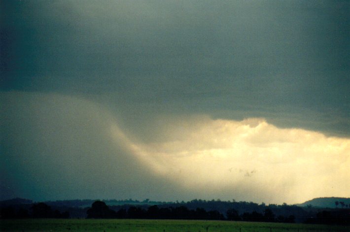
The 30th December on the North Coast was part of a series of storm days with severe weather. Wind shear was good but not exceptional. Severe storms developed in the early afternoon. One particular storm developed east of Tenterfield during early afternoon on 30th December 2001. It initially tracked east before strengthening and veering towards the NNE. A feature of the storm was the microbursts that developed in cycles on the NE side of the cell - several were observed between Casino and Kyogle.
|
|
Severe Thunder- storm images of the month: February 2002
This months photos |
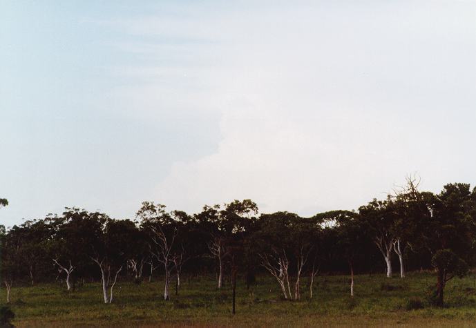
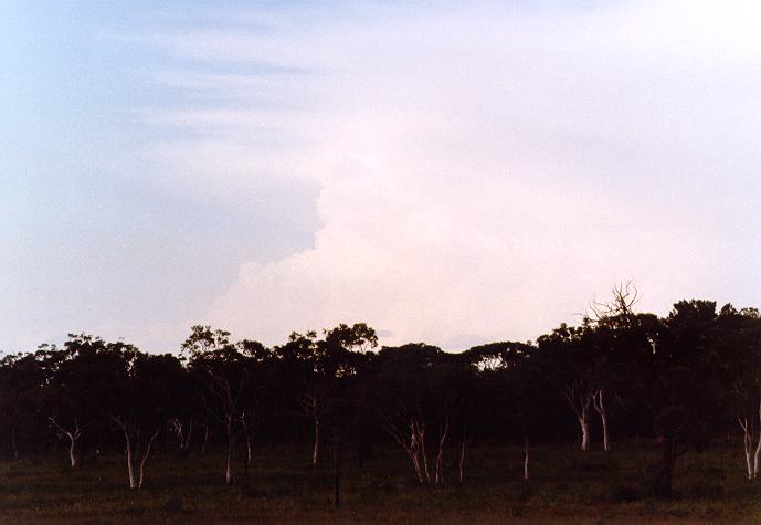
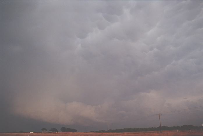
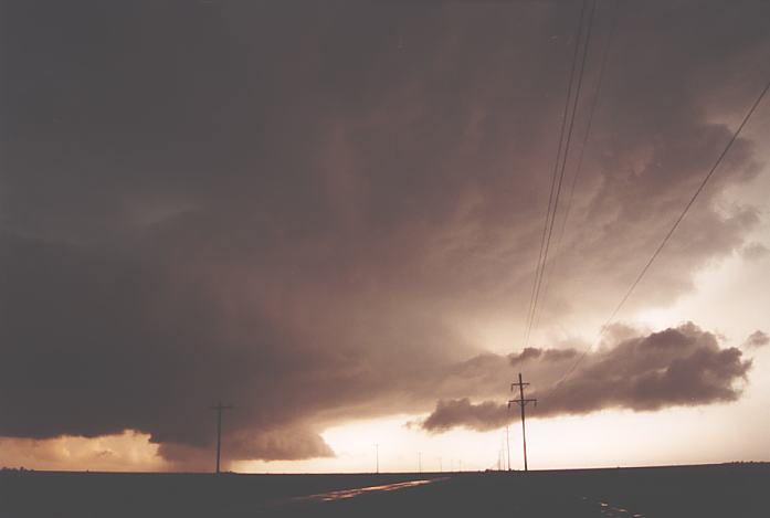
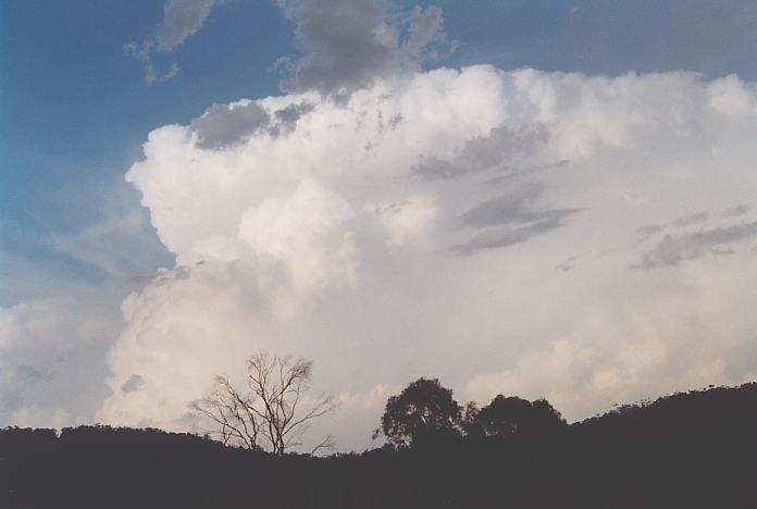
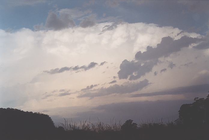
Indicators had this day to produce severe weather with initiation further inland along the ranges along a convergence zone. Although this did happen, it took some time before the storms broke through the upper cap. When they did, storms literally exploded helped along by the favourable upper level wind shear. Hail was reported in many areas and some damage reported in localised areas like Comboyne due to wind and large hail. Some storms will have developed into supercells.
|
|
Severe Thunder- storm images of the month: January 2002
This months photos |
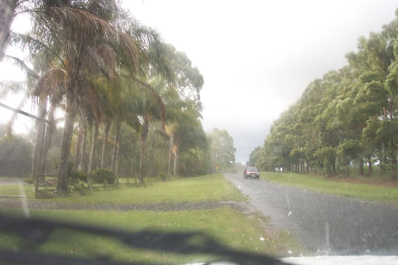
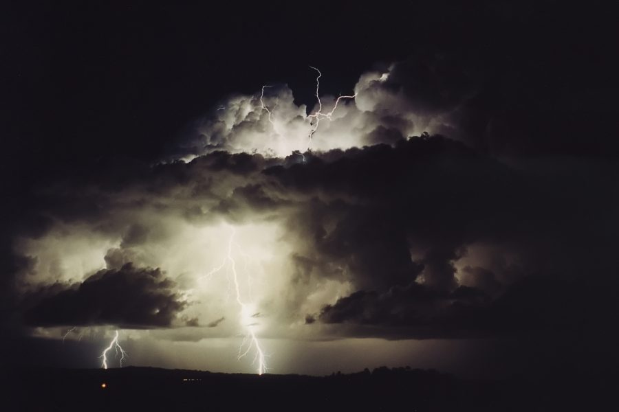
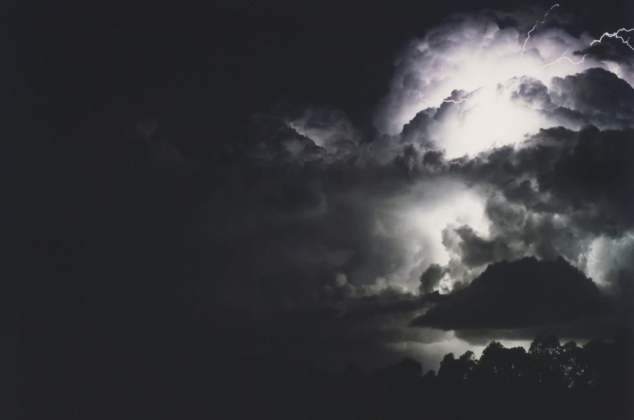
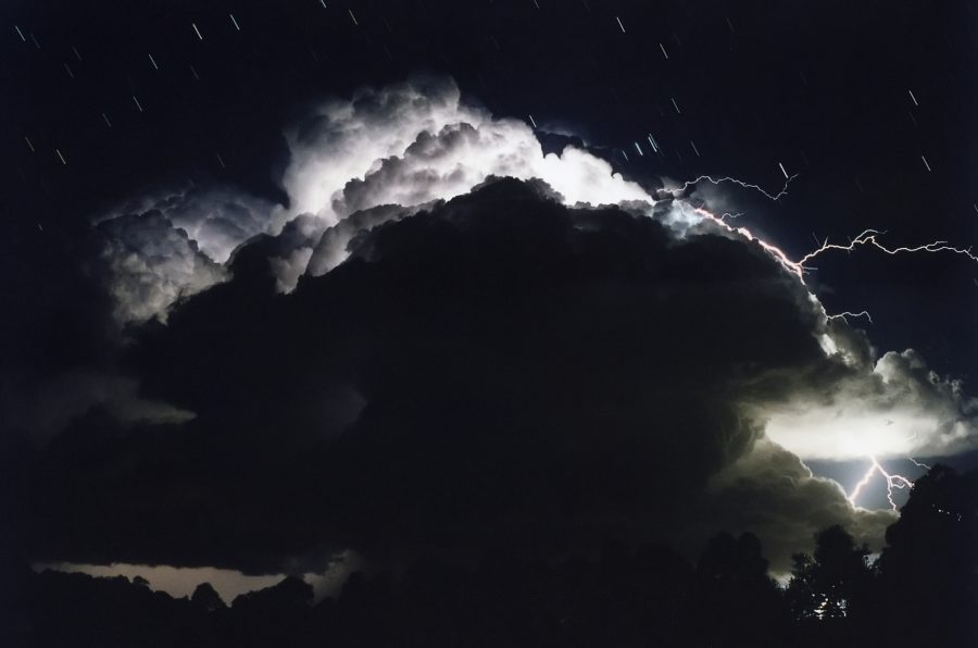
A fine day with some cumulus developing then clearing during the afternoon. Temperatures reached about 29 with westerly winds. A weak trough clipped the Far North Coast during the evening pushing up some storm cells west of Ballina. The lightning was not frequent but very spectacular !
Congestus persisted near the North Coast and Southern Gold Coast into the morning. Several funnel clouds descended just off Coolangatta during the morning.
|
|
Document: arc2002.htm
Updated: 31st January, 2005 |
[Australian Severe Weather index] [Copyright Notice] [Email Contacts] [Search This Site] |