- Lower level clouds
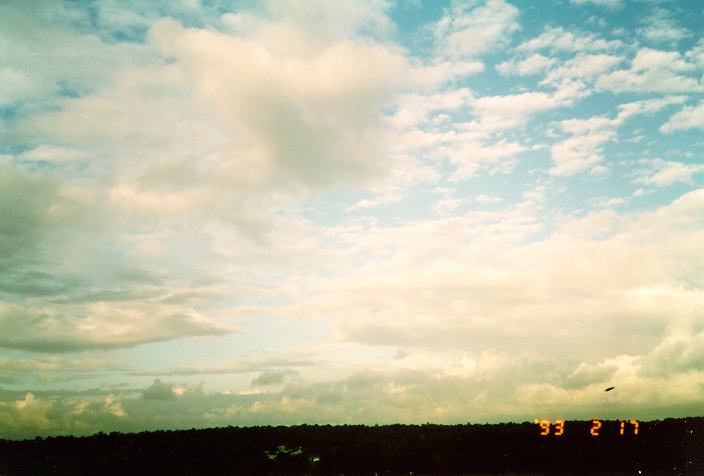
- Cumulus
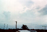
- Stratocumulus
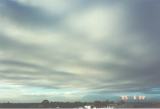
- Stratus
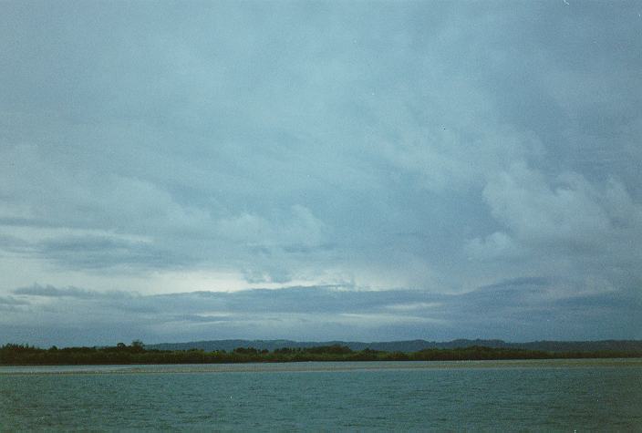
- Middle level clouds
- Altocumulus
- Altostratus
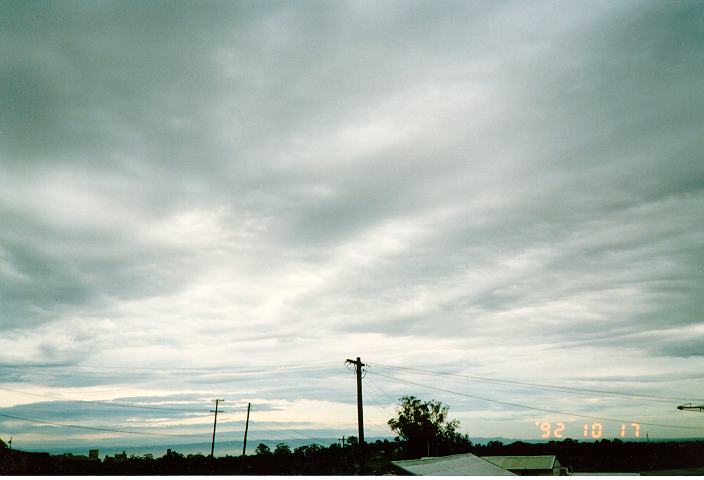
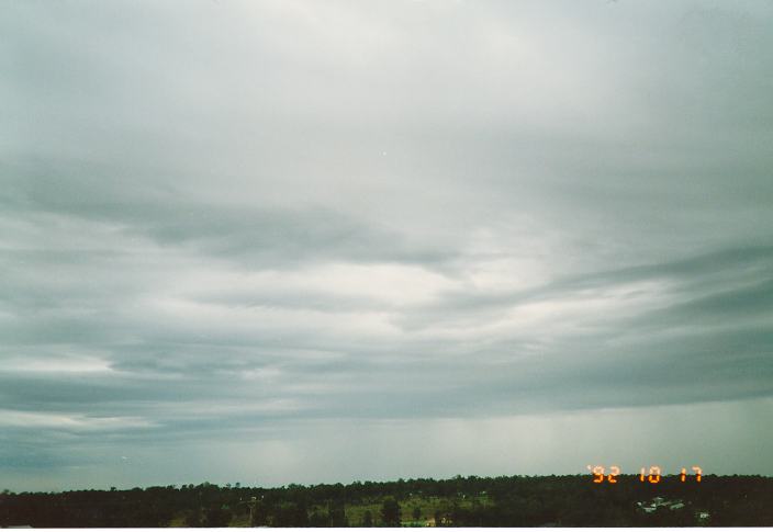
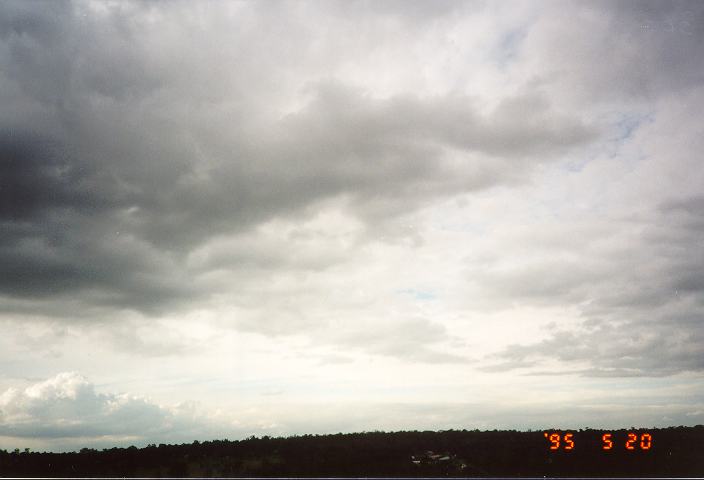
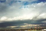
- Nimbostratus
- Higher level clouds
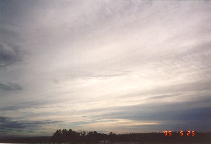
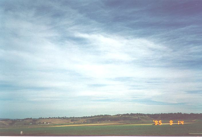
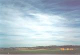
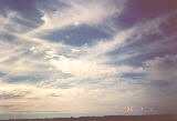
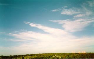
- Cirrus and cirrostratus
- Cirrocumulus
- Combinations of clouds
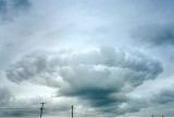
- Cumulonimbus
Clouds can occur at any level of the atmosphere wherever there is sufficient moisture to allow condensation to take place. The layer of the atmosphere where almost all cloud exists is the troposphere, although the tops of some severe thunderstorms occasionally pierce the tropopause.
Because of the large range in temperatures and air movement in the troposphere, clouds vary in structure and composition (a combination of ice crystal and water). Consequently, clouds are classified into three main groups: lower, middle and high level clouds.
Certain techniques introduced earlier (that determine the heights and characteristics of clouds) are incorporated within this section to identify and categorise the different type of clouds.
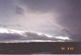
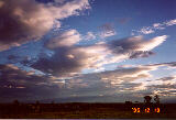
Lower level clouds
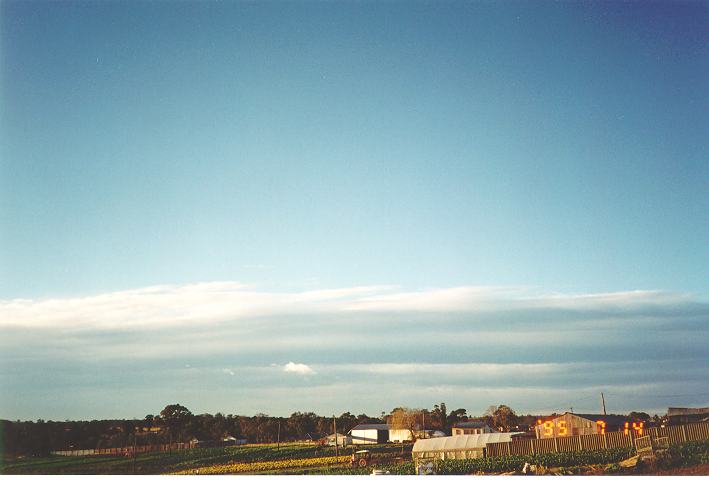
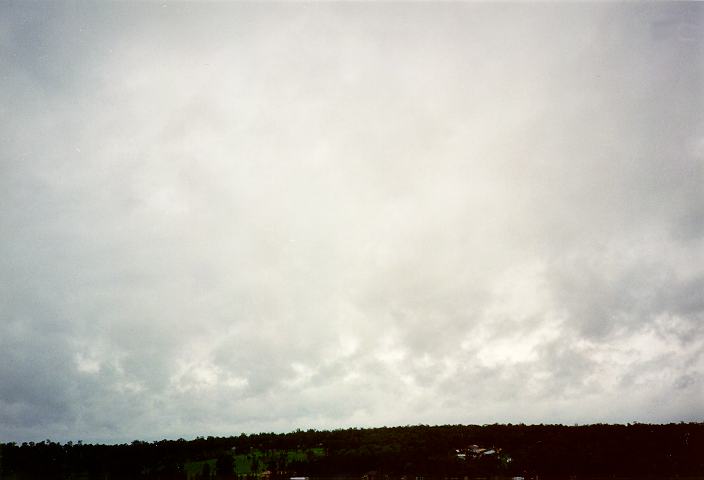
Lower level clouds consist of those clouds in the lower layers of the atmosphere. Because of the relatively low temperatures at this level of the atmosphere, lower level clouds usually reflect lower amounts of light and therefore usually exhibit low contrast. The clouds at this level also appear not as well defined. When observed closely, it is easy to observe the turbulent motions and hence the ever-changing structure.
Being closer to the ground, lower level clouds appear to move or progress faster than other clouds. The clouds generally move in the direction of the wind very similar to the direction of the wind on the ground.
The most efficient method used to recognise lower clouds is when observed in conjunction with other clouds. The lower clouds will obscure part or all the view of the upper level clouds if they pass in between the observer's line of sight. In other words, all the observer can see is the lower clouds as well as parts of the higher level clouds through breaks of the lower clouds. What is observed will vary due to the different directions and relative wind speeds associated with the different layers of clouds.
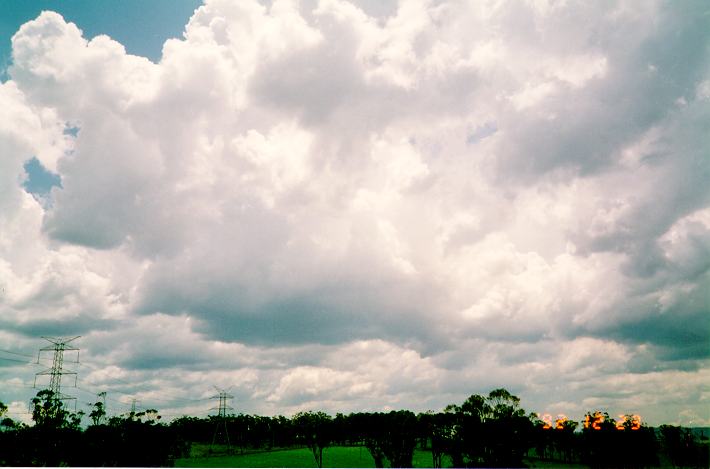
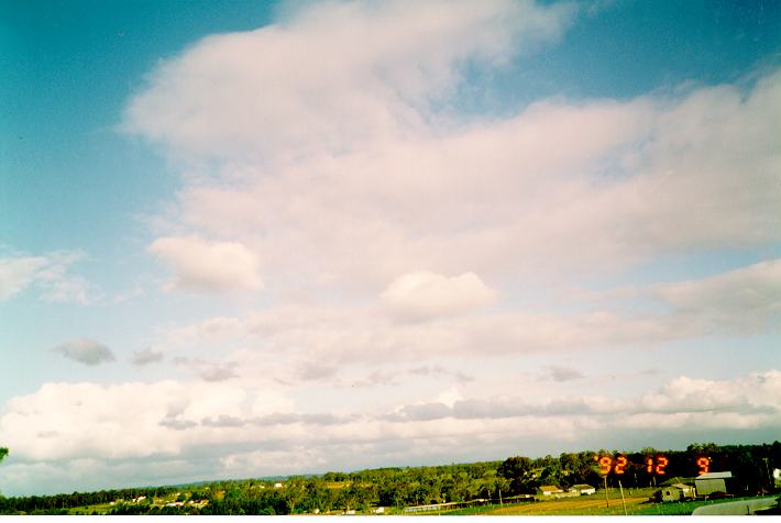
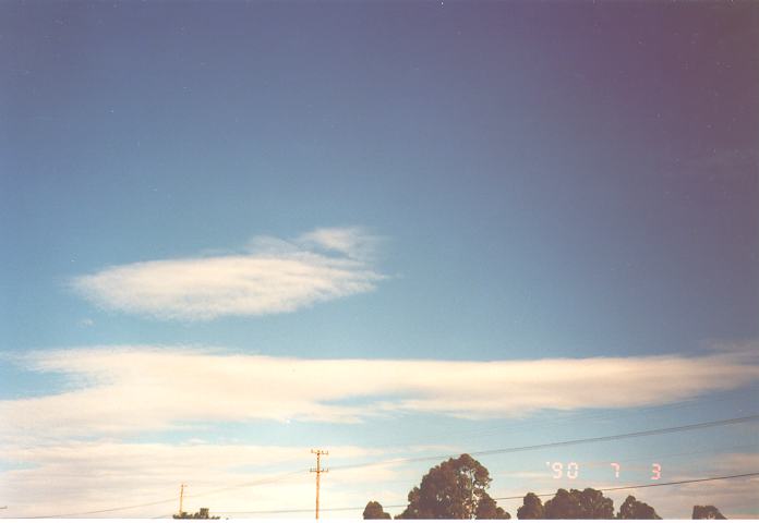
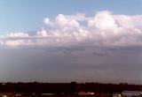
There are 3 main types of lower level clouds: cumulus, stratocumulus and stratus.
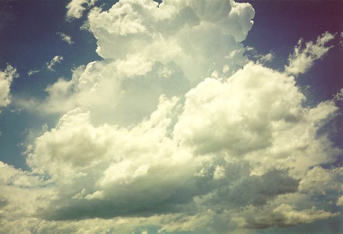
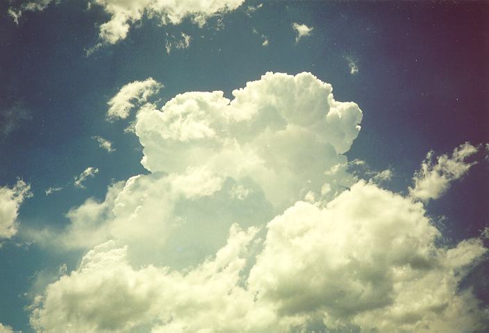
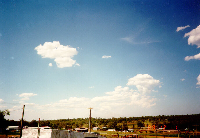
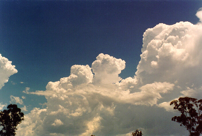
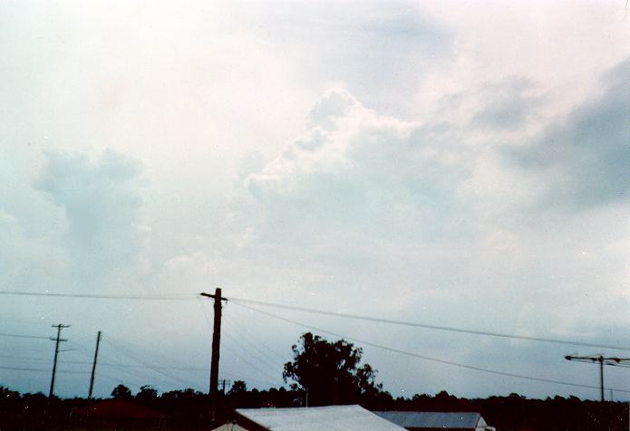
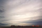
Cumulus

 Cumulus are cauliflower-shaped low level clouds with dark bases and bright tops. When observing cumulus, you are actually observing the condensation process of rising thermals or air bubbles at a certain level in the atmosphere known as the condensation level.
The air rising above this level condenses and cloud is observed. Since the height of this level is fairly constant at any particular time, then the bases of cumulus are usually flat.
The appearance of cumulus like other clouds can be illusive.  If stratus formed at the same level as cumulus, the cumulus will appear different observed from different perspectives with respect to the sun's position. (If light from the sun must reflect to get to the observer, then the cloud will tend to appear brighter and display more contrast than cloud reflecting very little direct sunlight.
 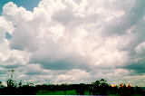 In fact, the latter case indicates that the shadow area of the cloud is facing the observer). A similar situation may occur when observing cumulus below a much darker background such as a thunderstorm.
 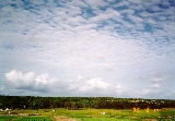 The cumulus clouds appear as a uniform white or at least much lighter with little or no contrast. The same cumulus clouds observed away from this cloud band will appear darker, with more contrast.
Cumulus can vary in size. I normally categorises cumulus in three main groups: small, medium or large.

 With practice, an observer can easily determine the size of cumulus clouds (or any clouds in general) by considering the following factors; their apparent distances, coverage of the sky (density), their angle of elevation (how much of their base can be observed), how much overlapping occurs, and their base to height ratio. Cumulus often occurs in conjunction with other clouds and may vary in appearance. If cumulus is observed below other clouds, the shadow effect of other clouds can decrease contrast of the cumulus.
Back to top
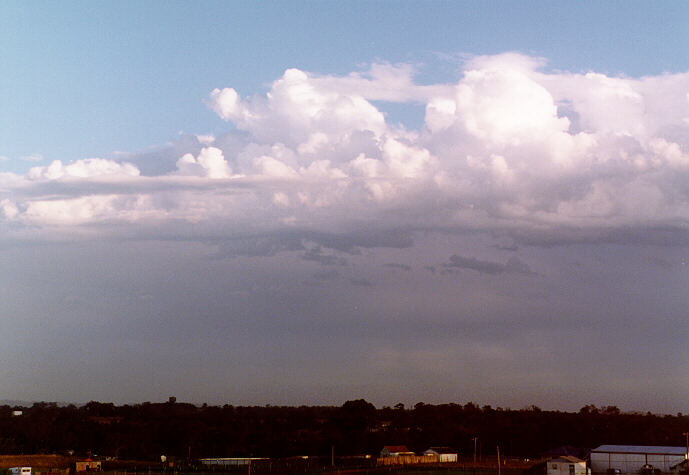
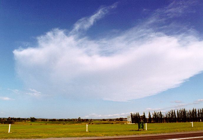
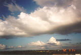
Stratocumulus
 Stratocumulus are low clouds that generally move faster than cumulus and are not as well defined in appearance (recall the techniques of observing clouds). They tend to spread more horizontally rather than vertically. Like cumulus, the bases of stratocumulus are normally darker than the tops. However, they can vary in terms of characteristics.
Depending on the weather conditions, stratocumulus can appear like cumulus since stratocumulus can develop from cumulus. They may also appear as large flat areas of low, grey cloud. Sometimes stratocumulus appear in the form of rolling patches of cloud aligned parallel to each other. 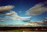
 Stratocumulus can also appear in the form of broken clouds or globules. The sun, moon and generally the sky can be observed through the breaks in broken stratocumulus clouds. Of course, this depends on how large the breaks are, how high the clouds rise and the angle of elevation of the breaks with respect to the observer. This generally applies to all clouds but is more notable with clouds in broken form.
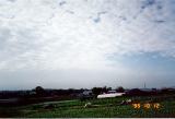
Stratocumulus mostly develop in wind streams moving in the direction of the wind similar to the direction of the wind at the surface. The friction created by the earth causes turbulence in the form of eddies.  With sufficient moisture, condensation will occur in the lower layers of the atmosphere visible as clouds. The amount of stratocumulus covering the sky depends on the amount of moisture concentrated at that level of the atmosphere. The speed that the cloud moves varies according to the wind speed at that level.
 Stratocumulus cloud also can develop in the form of lenticularis. The only method that can be used to distinguish between these clouds is that stratocumulus will not appear as well defined, will tend to move more quickly.
  Sometimes they develop below cumulus or cumulonimbus which means that it must be low cloud.
Back to top
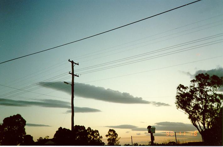
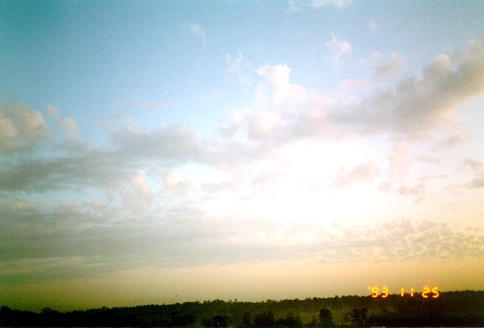
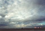
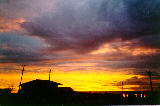
Stratus
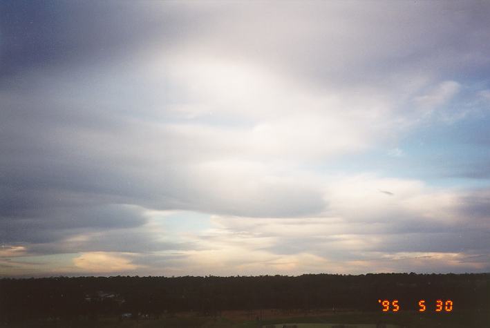
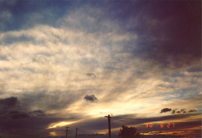
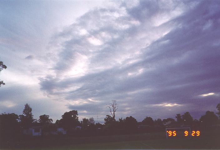
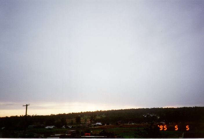
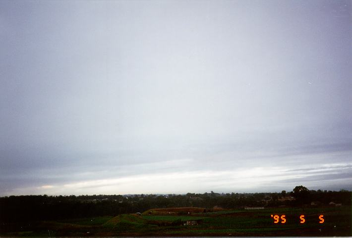
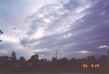
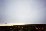
 Stratus is defined as low cloud that appears fragmented and thin. It can also occur in the form of a layer or sheet. The sun, moon and generally the sky can usually be observed through stratus clouds, especially at a steep angle of elevation. Stratus lacks the vertical growth of cumulus and stratocumulus, and therefore lacks the contrast. This is more evident when observed as one layer as compared to patchy stratus. Being closest to the ground, stratus clouds normally move fairly rapidly in the direction of the wind depending of course on the wind speed.
Like stratocumulus, stratus develops under several conditions or weather situations. Stratus mostly develop under the influence of wind streams where moisture condenses in the lower layers of the atmosphere.  Wind changes during the summer months often lead to the development of stratus as the wind evaporates moisture from the ocean and condensing as turbulence mixes the surface air with the cooler air above. In these conditions, stratus develop in patches and gradually may become widespread forming into stratocumulus.
 On days with nimbostratus and rain, stratus cloud develop simply due to the amount of moisture in the air. With light winds, stratus are normally observed in sheets. In stronger wind conditions, stratus develops in patches, similar in appearance to stratocumulus. Both the direction and appearance of stratus can change rapidly with changing weather conditions. It can clear and redevelop several times during certain conditions usually appearing when rain approaches, and clearing as the rain clears. Being the lowest cloud layer, it obscures at least partially the view of stratocumulus or other types of clouds above.
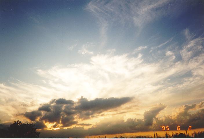
 Stratus, like stratocumulus, can develop in weather conditions associated with thunderstorms and thunderstorm development. In this case, stratus is observed moving rapidly towards the storms and thickening in the region of the updraughts, especially those of severe thunderstorms. The stratus is only the visible condensed water vapour feeding into the thunderstorm. One good example of a thunderstorm illustrating this behaviour is the violent hailstorm that occurred on the 18th of March, 1990 in Sydney (This storm is not illustrated here). Earlier in the day, stratus had developed with a south to south-easterly change and was moving rapidly with the air stream. As the thunderstorms developed and approached, the stratus thickened to form stratocumulus. As the storm (which was a supercell) with the updraught region moved almost overhead, the stratocumulus cleared rapidly. The major rain band then moved through with strong winds, heavy rain and medium to large hail in some areas.
Stratus can develop in the various types of weather conditions associated with stratocumulus discussed above. However, the characteristics of stratus do not vary as much as stratocumulus and therefore they are easily distinguishable. Therefore, there is no real need to discuss further the weather conditions associated with stratus clouds.
Back to top
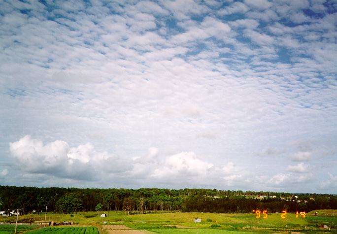
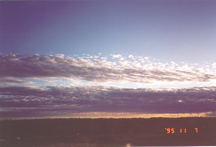
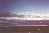
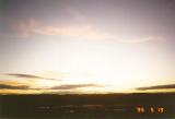
Middle level clouds
Middle level clouds are those clouds that develop in the middle layers of the atmosphere. These clouds are brighter and less fragmented in appearance due to their distance from the ground and the higher composition of ice crystals. Middle level clouds vary in thickness from relatively flat sheets of cloud to a more cumuliform appearance. In fact, the sun (and moon) can be observed through some thin middle level clouds.
Middle level clouds tend to have apparent speeds slower than the lower level clouds. (Recall the larger radius and associated arc length that the higher level clouds must undertake). They move in the direction of the wind at that level which does not necessarily be the same of that at the surface.
There are 3 basic types of middle level clouds: altocumulus, altostratus and nimbostratus.
Back to top
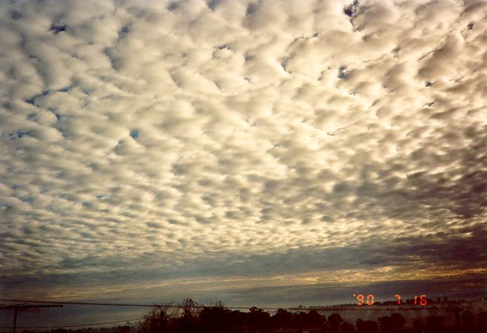
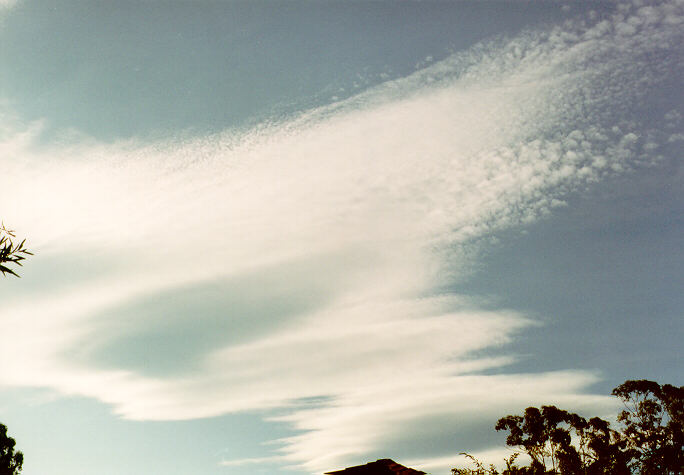
Altocumulus
As the name suggests, altocumulus refers to the middle level cloud that exhibit to some extent the features normally associated with cumulus. This includes cumuliform tops and bases that are usually relatively darker than the tops. This cloud type can be widespread or patchy depending on the conditions. It can vary in appearance from broken to smooth, and vary in thickness.
In its broken form, altocumulus can be confused with stratocumulus.  To distinguish between them requires examining how defined the cloud appears, whether there other forms of middle level or upper level clouds present above the layer and the difference in brightness. Like stratocumulus, the breaks become more visible at a steeper angle of elevation.
 Altocumulus as viewed from above
 If conditions are unstable in the middle level of the atmosphere, the air will tend to rise in currents allowing areas of cumuliform turrets to develop. In fact, altocumulus can develop from dissipating thunderstorms during the morning and then redevelop during the day if the air remains unstable. Altocumulus clouds therefore in this form indicate unstable or unsettled conditions.
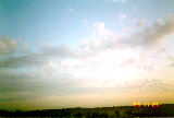
 Altocumulus can vary in its apparent movement (speed) depending on the wind and direction at that level. However, since altocumulus (like most other cloud types) represents an ever changing system, an observer must be careful in determining cloud motion. On some days, altocumulus continuously develop as it moves in the direction of the wind.
  Upstream, more altocumulus may develop giving the impression that the cloud is progressing slower than its actual speed. This process can occasionally create an illusion in terms of direction. Considering an example of altocumulus observed moving to the south east, because of development on the north and north-eastern side of the cloud band, the apparent direction may be more to the east.
 Altocumulus can develop in more than one layer and also in conjunction with other cloud types. The lower layer will obscure part or all of the higher altocumulus cloud layer. This situation also applies to higher level clouds. Higher level clouds will be obscured by the altocumulus.
  Lower level clouds, however, will obscure part or all of the altocumulus cloud layer. In fact, it may be impossible to observe altocumulus above a full stratocumulus, stratus or lower level nimbostratus cover.
 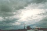 If a break occurs, altocumulus can only be distinguished by its different (slower) speed and direction of movement.
Altocumulus also develop within the structure of cumulonimbus (thunderstorm producing) clouds. The appearance of altocumulus within thunderstorms vary depending on the structure, severity and the amount of moisture drawn into the thunderstorm. The altocumulus usually develops after the anvil (consisting of cirrostratus and altostratus) develops and becomes darker as the precipitation cascade approaches. 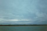 However, on days where thunderstorms develop with widespread altocumulus conditions, the altocumulus obscures the thunderstorms and its development observed only through breaks in the cloud.
If altocumulus develops into thicker layers, precipitation can develop. The intensity of rainfall most often expected from altocumulus is light to moderate rainfall. If large cumulus develop amongst the rain bearing altocumulus, then heavier rainfall will develop. On days when precipitation from altocumulus becomes widespread and continuous, the cloud forms a smooth lighter-grey shaded sheet and becomes known as nimbostratus (at the middle layers).
 Precipitation within altocumulus can develop rapidly at the rear even though the cloud may be moving fairly rapidly. This will obviously influence the duration of rainfall as well as the normally large cloud base. This situation often occurs before a cold front with unstable conditions.
  Thunderstorms can develop amongst the altocumulus band or they may develop after the cloud band clears well ahead of the actual change.
As discussed in the case of other clouds, lower clouds may be present below the altocumulus layer but not producing the rain. The observer again must consider which cloud is producing the rain to determine in which direction it is moving.
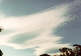 Another form of altocumulus is the lenticular type where the altocumulus appears in the form of a lens. They appear very smooth and flat, often displaying two or more layers. This occurs due to a wave effect in the air flow.
 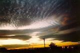 This wave effect normally develops as a result of a mountain range on windy days. The wave effect forces air to rise above the condensation level and hence allows cloud to form. Due to the rise and fall effect (peaks and troughs), the cloud may only exist in areas of peaks and therefore appear patchy. The most striking feature of this cloud is that it tends to remain relatively stationary compared with the associated wind at that level. What is actually happening is that as the air begins to rise above the level of condensation, cloud forms. When the air falls below this level, dissipation occurs and the cloud disintegrates back to clear air. So long as the peak of the air wave remains stationary as compared to the ground, the cloud will develop and dissipate almost in the same position whilst the wind conditions persist.
The direction of the wind associated with lenticular altocumulus can be determined by considering the sharpest edge as the end of the cloud where the air is flowing in and the opposite end where the air is flowing out. Sometimes this will be the longest span of cloud. The most efficient method of determining the direction of the wind is by closely examining the direction that the patterns and ripples within the cloud base move. The cloud will also be moving in the direction of the wind within the cloud region.
 Lenticular altocumulus is generally not associated with precipitation. The conditions associated with the development of this cloud involves more horizontal rather than vertical flow. The air masses are also more stable and drier.
 Lenticular altocumulus as viewed from above.
Lenticular altocumulus mostly develop during the day when the atmosphere is most lively in terms of strong winds at that level. The wind conditions at the surface are often very similar to the direction of wind at the cloud level. In the case of Sydney, lenticular altocumulus tend to develop during the morning period and clear off the coast during the evening. Almost all lenticular altocumulus in Sydney develop under the influence of south westerly, westerly or north westerly air streams associated with cold fronts.
 Altocumulus can also develop in the form of ripples. In this case, the altocumulus cloud appears broken but lined as a result of minor wind wave ripples. In fact it develops in conditions associated with the development of lenticular altocumulus. This type of cloud obviously does not produce precipitation.
Altocumulus can develop from the spreading out of the tops of cumulus.  The spreading out occurs as the tops of the cumulus grows until it reaches an inversion layer (or stronger winds that cause divergence) situated in the middle levels of the atmosphere. Because the cumulus updraughts are not strong enough to pierce this layer, the tops begin to spread in the form similar to that of an anvil facing in the direction of the wind at that level. Occasionally, this situation may further develop into thunderstorm or thundery shower conditions.
Back to top
Altostratus

 Altostratus refers to middle level cloud that appears as a flat, smooth dark grey sheet. These clouds are most often observed as large sheets rather than isolated areas. However, in the process of development, altostratus may develop in smaller filaments and rapidly develop to larger sheets.
  These types of clouds in certain conditions normally indicate an approaching cloud mass associated with a cold front, a trough system or a jet stream.
 Altostratus can develop into a thick or thin layer. As a thin layer, the sun can be observed through the cloud. In its thinner form, the developing altostratus can sometimes be confused with approaching cirrostratus. In its thicker form, the sun can only occasionally be observed through the thinner sections if not at all.
 Obviously, the thicker the altostratus, the darker it becomes. When observed closely, it becomes apparent that altostratus is not just one complete layer but a composition of several thin layers.
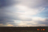
Altostratus can produce precipitation. It will normally develop and then thicken. The precipitation is observed as relatively thick dark sections since precipitation cascades are very difficult to observe with the same colour in the background. In this situation, rain will develop as a light shower and gradually increase to showers, light rain or moderate rain. If the precipitation becomes persistent, the cloud then becomes known as nimbostratus. The duration of the precipitation is influenced by factors similar to those discussed with other types of clouds.
> In certain conditions, altostratus will develop during the afternoon period and increase to cover most or all of the sky. By late afternoon, evening or during the night, precipitation will develop. This situation is the most common observation that occurs in Sydney. However, altostratus can develop at any time as well as the associated precipitation.
 As discussed above, altostratus can develop in conjunction with other clouds such as cirrostratus, altocumulus and stratocumulus. Obviously, the lower clouds will obscure the view of altostratus, appear to move faster and appear less defined. Although altocumulus is a middle level cloud, it will develop below altostratus. Sometimes, altocumulus can be observed developing from dissipating altostratus. cirrostratus can often be observed above altostratus when it does not cover the sky. On days where altostratus is observed above a stratocumulus cover, it may indicate a trough with possible rain or even thunderstorms either during the afternoon or within the next few days.
 Like altocumulus, altostratus also forms part of thunderstorms normally within or below the lower part of the anvil region. Of course this depends on the height of the thunderstorm anvil. Different structures of thunderstorms display various forms of altostratus. As the anvil of the thunderstorm passes overhead, the altostratus begins to appear normally with a grey base but becoming increasingly dark.
 Some altostratus develop in situations similar to the development of lenticular altocumulus.
  Altostratus in this form develops in large sheets and has a patchy base appearance. The cloud seems to be moving rapidly but because of its development at the rear actually progresses very slowly in the direction of the wind at that level. This type of cloud does not produce any rain.
Back to top
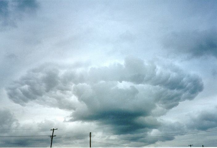
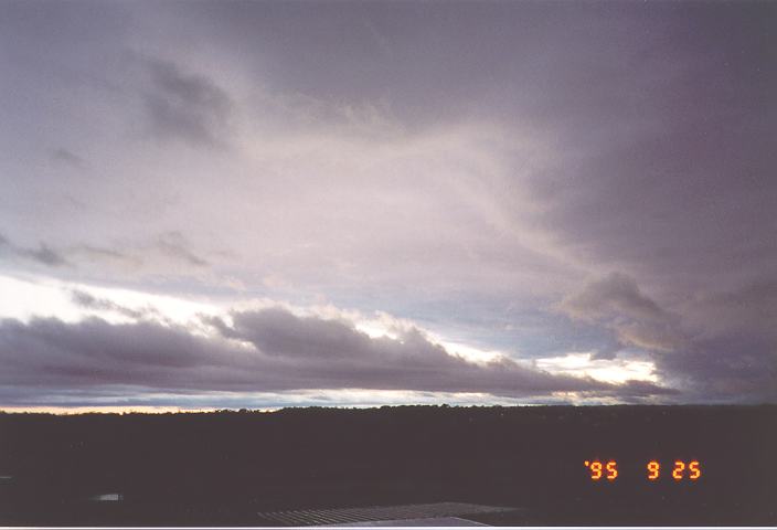
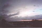
Nimbostratus
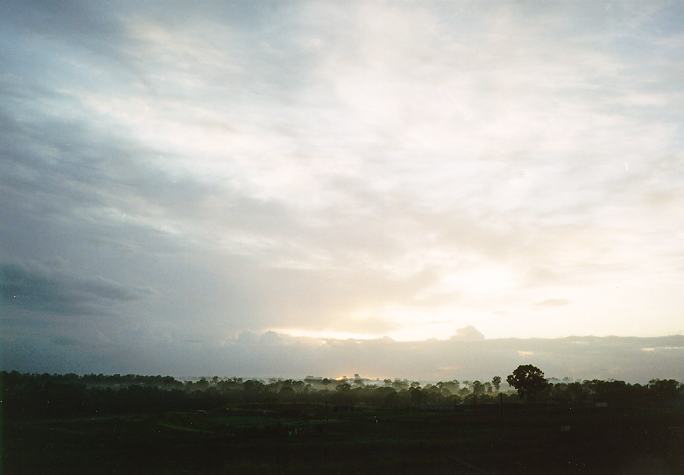
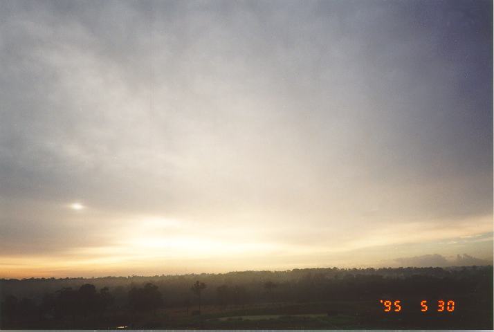
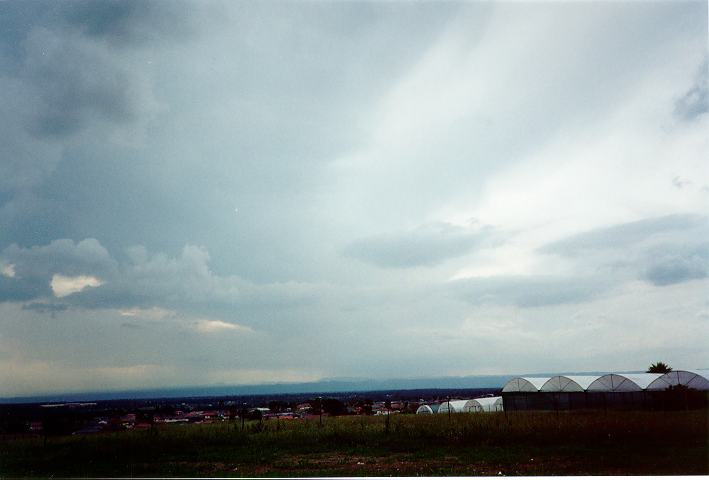
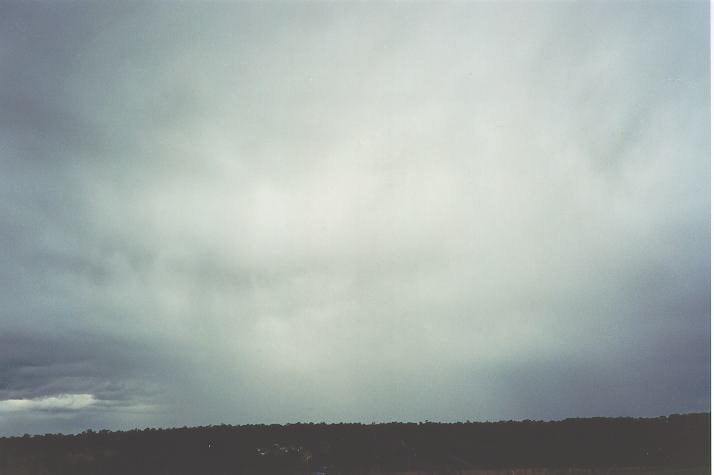
 Nimbostratus can be described as a widespread light grey or white sheet of cloud that produces persistent rain or showers. Because of its light colours, nimbostratus lacks contrast and in fact is quite difficult to photograph. Being sufficiently thick to produce precipitation, the sun or moon can rarely be observed through nimbostratus.
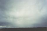
Because of its lack of contrast, it is difficult to determine the apparent speed and direction of nimbostratus. This speed can sometimes be determined by observing the movement of a break in the cloud or observing the cloud's motion against the occasional glimpse of the sun or the moon that is relatively motionless. Another method involves the observation of approaching intermittent showers although patterns of precipitation can sometimes change dramatically.
Generally, precipitation associated with nimbostratus is long in duration. The intensity can vary from light to heavy depending on the associated conditions. Normally, light to moderate rain is associated with nimbostratus. However, the passage of strong lows and cold fronts can produce moderate to heavy precipitation. In Sydney, weather associated with flooding rains often contains thick nimbostratus layers.
 As discussed in earlier cases, nimbostratus can develop or occur with most other types of clouds. Stratus and stratocumulus will often develop below nimbostratus in its middle level form and obscure the view of the whole cloud base.
  With approaching precipitation regions, the lower clouds may appear darker or lighter than the nimbostratus creating some contrast. This depends on the intensity of the background nimbostratus. The movement of the lower clouds do not necessarily have to be the same as the nimbostratus.
Although stratocumulus clouds can develop below nimbostratus, they can also thicken to develop into a nimbostratus layer with precipitation. 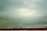 This refers to nimbostratus in its lower levels of the atmosphere. It can be difficult to distinguish this from nimbostratus in the middle levels of the atmosphere. It often requires observation of the initial cloud (stratocumulus or altostratus) or the cloud that follow. Another useful method is measuring the apparent speed of the cloud if it can be observed. Of course, the lower the cloud, the less likelihood that lower clouds will be observed below the nimbostratus.
Nimbostratus can develop from altostratus if it becomes sufficiently thick to produce precipitation. In fact, increasing altostratus cloud tends to lead to nimbostratus. Generally, the altostratus will become darker and gradually rain will develop. This sometimes leads to a lighter appearance of the cloud base although the cloud still remains reasonably thick.
Lower level nimbostratus can develop below altostratus and partially or completely obscure it from view. However, if the altostratus layer develops into nimbostratus itself, the lower level nimbostratus will most probably become difficult to see especially if precipitation begins to fall.
The weather conditions that produce middle level (and sometimes lower level) nimbostratus also lead to the development of higher level clouds. Nimbostratus developing or occurring below higher level clouds will obscure most or all of it from view. The higher clouds can only be observed through breaks of the nimbostratus if and when they occur. These breaks often occur when the cloud is decreasing in intensity and conditions are beginning to clear.
Back to top
Higher level clouds
Higher level clouds represent the cloud in the highest levels of the troposphere. They mostly appear brilliant white because of the ice crystals at that level. They tend to develop at or just above the top part of the troposphere. Higher level clouds can vary in shape, thickness and cover.
Sunlight can be observed passing through the higher level clouds most of the time. The amount of light that penetrates depends on the density and thickness of the layers. The thickness of such clouds are therefore relatively thin.
In most cases, the direction of movement of the higher level clouds do not necessarily represent the wind direction at the ground level. In fact, the wind at upper and ground levels often differ.
There are three main types of higher level clouds: cirrus, cirrostratus and cirrocumulus.
Back to top
Cirrus and cirrostratus
 Since the characteristics of cirrus and cirrostratus are similar, they can be discussed together including any differences.
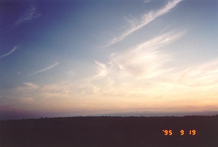
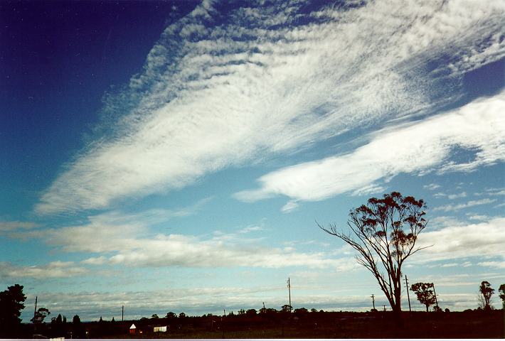
Cirrus clouds are higher level clouds that develop in filaments or patches. 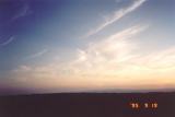 They are virtually brilliant white attributed to their ice crystal composition. However, they lack in contrast between the top and base. They occur in flat sheets with a low height to base ratio and are usually isolated with large breaks of sky. Cirrus also vary dramatically in 'shape' or patterns they portray but these represent the fluctuating wind flow at that level both in the horizontal and vertical direction.
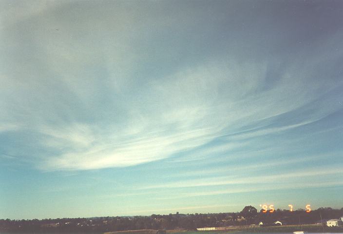
 Cirrostratus represent clouds that are more widespread than cirrus but containing some similar features. Like cirrus, they are brilliant white and lack in contrast. Sunlight can pass through cirrostratus but this again depends on the varying thickness of the clouds.
 Both cirrus and cirrostratus clouds vary in thickness. The sun can easily be observed through both types of clouds although the intensity of light that is observed depends on the thickness of their layers. In their thickest form, cirrus and cirrostratus will allow a similar intensity of light to pass through to that of thin altostratus. They do not only develop in one complete layer. It may be difficult to observe because of the lack of contrast but these clouds can consist of several thin layers.
Cirrus and cirrostratus tend to move in the direction of the wind at that level which differ to that at the surface. The most common direction of motion of these clouds are from a westerly direction. This varies with factors such as the latitude, weather conditions and time of the year. Their apparent velocities are relatively slow as compared to lower clouds.
Both cirrus and cirrostratus can occur in conjunction with any of the other cloud types. 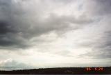 Obviously, all the lower and middle level clouds will obscure the view of the higher level clouds, appear to move faster and appear less defined. They can only be observed above other clouds when breaks in the clouds occur.
 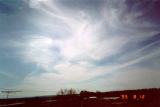 Any type of higher level clouds can develop simultaneously.
Cirrus clouds tend to develop on days with fine weather and lighter winds at the surface. cirrostratus can develop on days with light winds but normally increasing in strength. Although both cirrus and cirrostratus tend to develop in fine weather conditions, they also acts as a sign of approaching changes in the weather conditions.  Such changes could include any of the various types of cold front situations, thunderstorms or developing and advancing troughs of low pressure, normally with preceding cloud masses.
Except in the latter case, cirrus and cirrostratus will typically precede any other types of clouds as part of a cloud band. In fact cirrus normally precedes cirrostratus.  Nevertheless, the higher level clouds will persist until the actual change in the weather occurs. The higher clouds can develop from a few hours up to a few days before an actual change in the weather conditions occurs. They may develop during one afternoon and dissipate but redevelop the next day and so on until the actual change occurs. If the amount of moisture in the lower layers of the atmosphere increases, other lower clouds may also develop changing the appearance of the cirrus or the cirrostratus clouds as well as partially or totally hiding them from view. The same situation occurs in the case where cirrus develop ahead of thunderstorms. Cirrus normally precede cirrostratus which are then followed by the anvil of the approaching thunderstorm. In fact, cirrus and cirrostratus in this case are the remnants downwind of the weakening anvil.
 Both cirrus and cirrostratus can develop and persist after a change has passed through a certain location. In this situation, cloud will decrease within a few hours up to a few days following the change. If it persists for longer periods, a jet stream cloud mass may be involved.
Another situation where cirrus and cirrostratus can be observed is when lower cloud breaks or clears during days with showers or rain. This case is far less common but can indicate a few situations. The higher clouds may be the remnants of 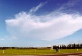 the cloud mass that produced the actual wet weather. They can also be developing ahead of other cloud masses associated with another system, leading to the situation already discussed above. It all depends on the weather situation at that time but the observation of the movement of the higher level clouds can be critical in determining what weather may follow.
Cirrus generally does not produce precipitation except when it results from dissipating thunderstorms. Precipitation from such cirrus usually consists of larger droplets and the cloud normally dissipates and vanishes completely. cirrostratus does not produce precipitation.
 Cirrus and cirrostratus can develop and persist at any time of the day despite the perception that it tends to occur during the day. This perception arises because it is much easier to observe cirrus during the day as compared to night time. The background darkness and the fact that the stars can easily be observed through cirrus and cirrostratus as thin layers allows them to camouflage from the view of the observer.
Back to top
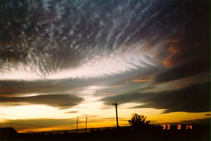
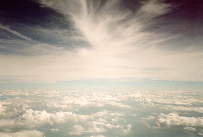
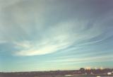
Cirrocumulus
 Cirrocumulus is a higher level cloud that is brilliant white but with a spotty appearance created by the many small turrets. The turrets indicate vertical turbulence within the cloud. Despite this spotty appearance, cirrocumulus contains many features associated with cirrostratus discussed above. It moves in directions similar to that of the other higher clouds.
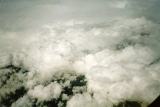
 In this photograph, white cirrocumulus globules can just be seen above the altocumulus.
 This cloud can develop in conjunction with any other clouds as well as with cirrostratus clouds. In Sydney, cirrocumulus is not as common as the other high clouds and mainly develops during the winter times with west to south westerly air streams. The development of cirrocumulus sometimes occurs in conditions similar to those associated with the development lenticular altocumulus. cirrocumulus clouds do not produce precipitation and are normally associated with fine weather.
Back to top
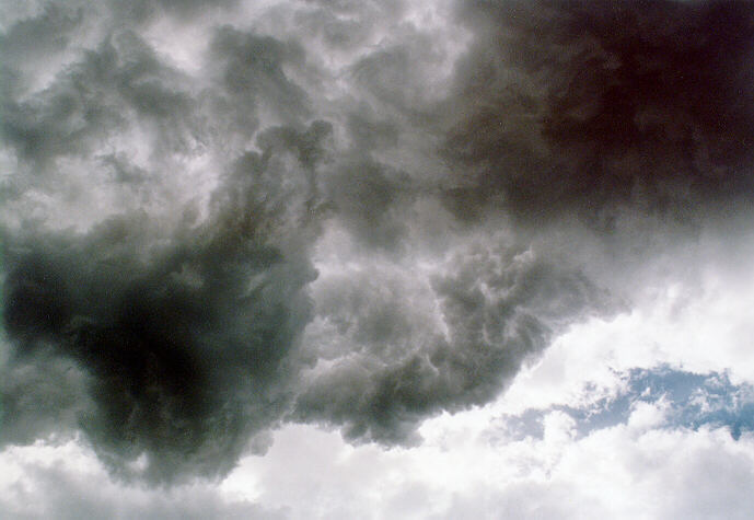
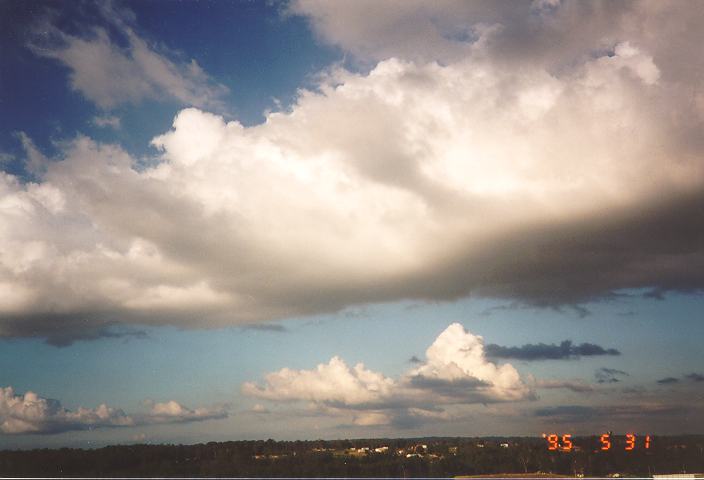
Combinations of clouds
In the section on observing cloud types, the discussion also focused on the fact that more than one type of cloud can exist simultaneously with other cloud types. This included combinations of different clouds from the same group or from different groups. For instance, stratus clouds often may be found with stratocumulus above it (lower level group) or altostratus, nimbostratus or even. Another example is a combination of cirrostratus and altocumulus. These are just a few from hundreds of combinations of clouds. The different combinations of clouds occur depending on certain factors such as the current weather conditions at different layers of the atmosphere as well as the influence of topography. However, the best opportunity to observe combinations of clouds is when thunderstorms approach. The whole system of clouds associated with thunderstorms are together known as cumulonimbus clouds.
Back to top
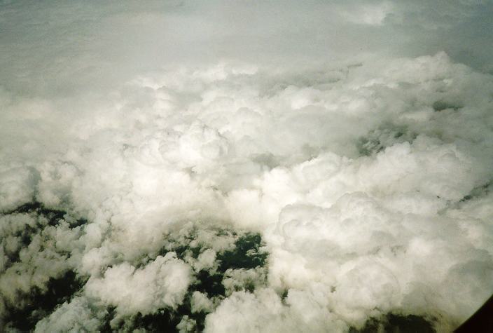
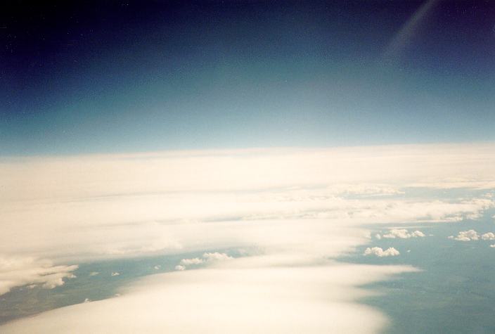
The cumulonimbus cloud
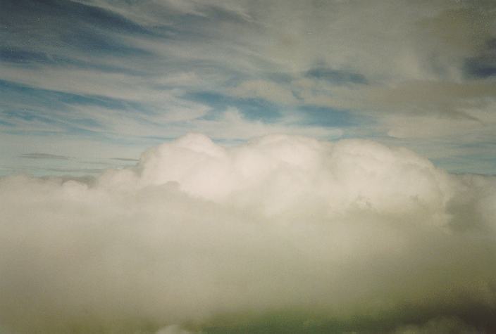
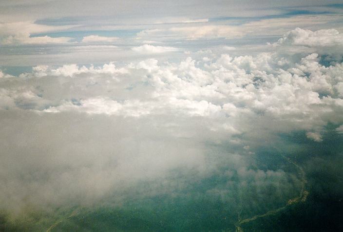
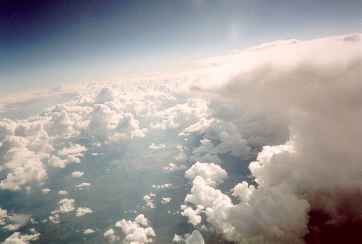
 Cumulonimbus as viewed from above. The aeroplane had to rise above the cloud because of risk from turbulence.
Cumulonimbus clouds, which are normally associated with thunderstorms, consist of a combination from some or all of the cloud groups. The heights of cumulonimbus clouds vary depending on the conditions but are typically of the order of tens of kilometres from the base to the cloud tops. 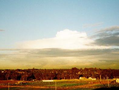 As a general rule, the most severe type of thunderstorms known as supercells have tops that pierce the tropopause. Smaller thunderstorms do not rise to the tropopause. Thunderstorms are discussed in its own section.
[Back to top]
[More advanced techniques introduction]