and Stills
[Index][Copyright Notice]
Cloud and Weather Timelapse Movies
|
Video Movies and Stills [Index][Copyright Notice] |
Cloud and Weather Timelapse Movies |
Search This Site |
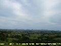
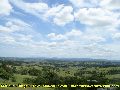
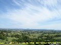
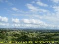
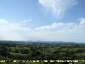
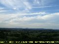
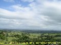
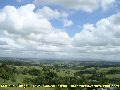
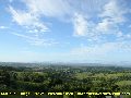
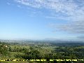
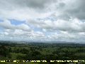
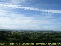
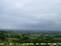
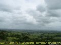
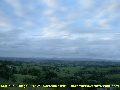
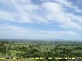
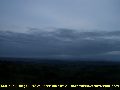
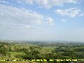
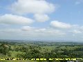
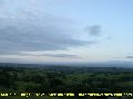
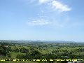
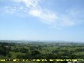
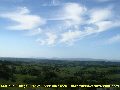
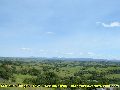
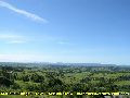
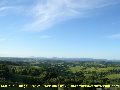
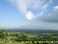
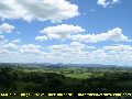
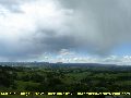
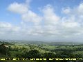
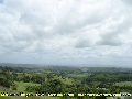
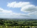
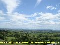
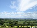
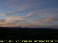
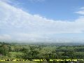
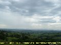
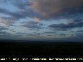
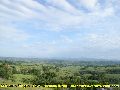
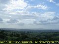
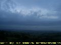
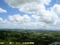
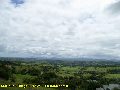
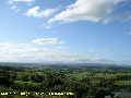
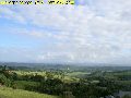
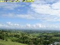
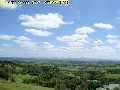
Timelapse sequences of the sky and weather from McLeans Ridges in Northeast NSW. High resolution AVI timelapse movies created in two sizes for each day that significant weather, clouds or thunderstorms occurred.
Thunderstorms | Weather highlights
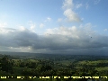
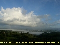
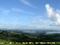
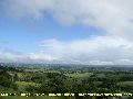
| Preview Stills | Date of timelapse and description of weather that occurred |
|
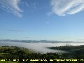
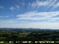
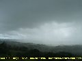
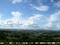
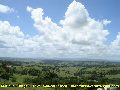
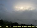
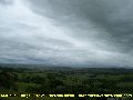
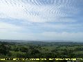
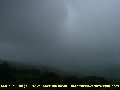
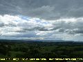
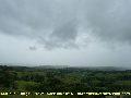
30
May 2007 Valley fog clearing ahead of waves of altocumulus which dissipates late morning. Several aircraft contrails occur before some cumulus develops. |
|
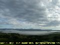
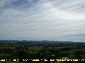
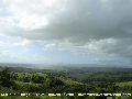
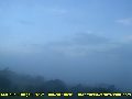
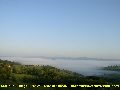
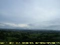
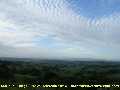
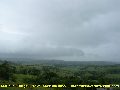
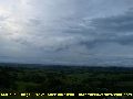
22
May 2007 Valley mist then extensive patches of cirru with virga. Sun halo effects the cirrostratus late morning. |
|
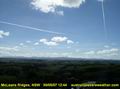
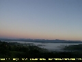
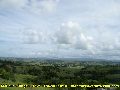
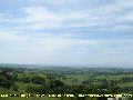
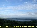
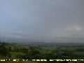
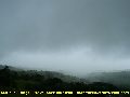
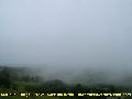
12
March 2007 Valley fog followed by cirrus from the west. Sunny ahead of southerly change with slowly increasing cloud until sunset. |

|
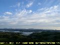
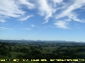
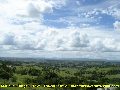
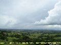
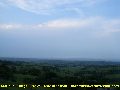
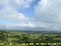
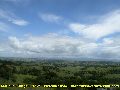
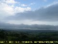
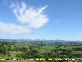
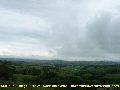
21
February 2007 Fog and cumulus from the east. Brief rainbow can be seen. Interesting display of cirrus clouds before scattered cumulus dominates. |
|
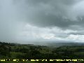
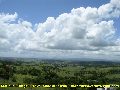
18
February 2007 Large cumulus from the east with some heavy showers. Cumulus thinning out later |
|
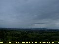
17
February 2007 Cumulus from the east-southeast most of the day. Interesting waves and motion in the mid level clouds from the northwest - mainly from cirrus and altocumulus. |
|
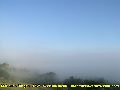
15
February 2007 A foggy morning. Cirrus and altocumulus patches from the northwest. Cumulus - some becoming large with isolated heavy showers from the east. |
|
08
February 2007 Waves of cirrus and cirrostratus from the northwest. Fair weather cumulus from the northeast during part of the day. |
|
07
February 2007 Valley mist at dawn. Rolls of cumulus developing then clearing before a rapid increase of high cloud from the northwest. Virga shown as well. |
|
03
February 2007 Stratocumulus lenticularis at first. Interesting display of cumulus bubbling away as it moves in from the south and southeast. |
|
12
January 2007 Valley fog during the morning. Cirrus clouds increasing during the day, with some thunderstorm anvil cloud also present by evening. |
|
05
January 2007 Low cloud and fog areas during the morning with scattered large cumulus. Isolated showers about. Afternoon mainly scattered moderate sized cumulus from the east. |
|
26
December 2006 Early light shower then altostratus cloud all day. Unusual waves and light effects with some lower cloud. |
|
11
December 2006 Unusual mid level cloud from northeast changing direction later. Valley fog, cirrus, cumulus and altocumulus also feature. |
|
06
December 2006 Stratocumulus from southeast and altocumulus from the west. Cirrus and contrail visible too |
|
04
December 2006 Stratocumulus racing in from the south. |
|
01
December 2006 Early stratus and cirrus followed by extensive altocumulus undulatus in the afternoon. |
|
27
November 2006 Hazy with many different cloud types and wind directions shown. |
|
24
November 2006 Battle of the cumulus and altocumulus clouds with various changing wind directions. Altocumulus persists into evening. |
|
22
November 2006 Cirrus clouds from the southwest with some beautiful displays of virga. |
|
20
November 2006 Not a lot of cloud today but a great display of windshear. Valley fog at first. Some small cumulus from the east, smoke at mid levels from the south and cirrus from the west. |
|
16
November 2006 Instability and moisture clearing to cumulus from the southwest. Snow clouds with virga or light showers mid afternoon. |
|
14
November 2006 Hazy cumulus from the south, then altering direction quickly to be moving in from the east. |
|
09
November 2006 Overcast with low cloud and showers on and off all day. |
|
05
November 2006 Altocumulus clearing then cumulus developing. Rapid increase in cloud with showers later. |
|
04
November 2006 Overcast with low and middle level cloud. Patches of rain on and off during the day. |
|
02
November 2006 Morning fog then afternoon cumulus and altocumulus. |
|
28
October 2006 Cirrus with virga and small cumulus from the west - persisting until sunset. |
|
27
October 2006 Extensive areas of altocumulus from the west increasing and resulting in some isolated light showers. |
|
26
October 2006 Altocumulus patches from the west on an off most of the day. Some cumulus too. Late southerly change with stratocumulus. |
|
11
October 2006 Low topped cumulus at two levels spreads in from the east, then retreats and clears later. |
|
05
October 2006 Thin stratocumulus from the southeast ahead of rapid lower level cumulus development. Fair weather cumulus clearing later. |
Photos used in the weather timelapse sequences are 2 minutes apart and animated at 15 frames per second (3 minutes apart prior to 16th November 2006).
|
Document: timelapse_weather.htm
Updated: 26 April 2011 | [Australian Severe Weather index] [Copyright Notice] [Email Contacts] [Search This Site] [Privacy Policy] |