and Chasing
[Index][Archives]
Severe Hail Storms: Wednesday 11th December 1996
by Michael Bath
| Storm News and Chasing [Index][Archives] |
Severe Hail Storms: Wednesday 11th December 1996 by Michael Bath |
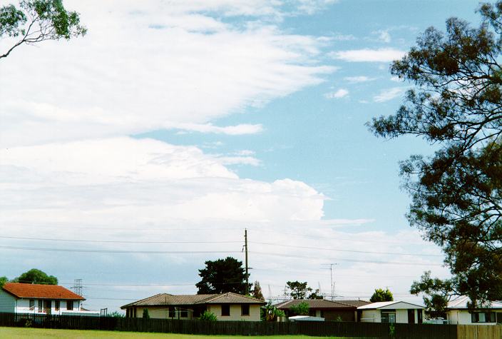
By noon most of the cumulus clouds had cleared to reveal very large thunderstorms developing on the ranges to the west. Spectacular cumulonimbus towers extending 15km into the atmosphere, were visible from 12.30pm. These became obscured by the massive anvil plumes and some low cloud soon after.
The first report of hail was received from the lower Blue Mountains town of Springwood. At 2.20pm hail began, and continued for half an hour, accompanied by heavy rain. Stones were mostly 2cm diameter with the largest (accounting for 5 - 10% of the coverage) about 4cm diameter. Damage was mainly confined to skylights, vehicles and vegetation due to the lack of wind at the time, however several people were injured by the stones. At Faulconbridge to the west, the hail lasted about 15 minutes, but the hail cover was more dense with 4cm stones dominant.
Mid afternoon another very large storm system was developing in the Illawarra tablelands and bearing down on Wollongong. The storm had a structure indicating severity, which has been confirmed by Michael Thompson, who was on an unplanned Storm Chase at the time.
The major event of the afternoon occurred around 5.00pm in the Hunter Valley. The storm that stuck Springwood earlier, propagated in a north-north-easterly direction with the worst weather developing on the north western flank. Hail stones the size of cricket and tennis balls (7 to 8cm) combined with strong winds to devastate the town of Singleton. Almost all buildings, and vehicles not under cover, sustained major damage in the 15 minute fury. Tiles, windows, cladding, ceilings throughout the area were severely damaged. Many people were injured by flying glass and the local hospital was evacuated after sustaining heavy water damage. A house was lifted up and thrown 100 metres and totally destroyed in the fury. Five occupants miraculously survived relatively unscathed.
John Giles reports.... "I was flying a charter flight from Cooranbong to Lightning Ridge that day. As we approached Scone from the Walget - Scone track, I was advised of SEV storms all over the place: Scone, Singleton and Mount Mcquoid. As it turned out, our estimate for SGT was right on 5pm: the time of the SEV storm! Needless to say, we diverted to MQD. The SGT storm was huge, we had to divert more than 20nm off track. I have a friend who had his car at SGT airport and it has about 50 large dints in it from the hail. The whole diversion cost us 15 minutes."
Other Hunter Valley towns affected by the storm were Muswellbrook, Maitland, Denman and Scone.
These images obtained from James Cook University
The Singleton storm can be seen as the southern most red/orange area of the third image. As you can see, many storms affected the coastal and eastern tableland areas of NSW and southern Queensland.


This image obtained from the Bureau of Meteorology

|
Document: 9612-01.htm
Updated: 6th April, 2004 |
[Australian Severe Weather index] [Copyright Notice] [Email Contacts] [Search This Site] |