and Chasing
[Index][Archives]
Storms to the North of Sydney: Saturday 28th December 1996
by Jimmy Deguara
| Storm News and Chasing [Index][Archives] |
Storms to the North of Sydney: Saturday 28th December 1996 by Jimmy Deguara |
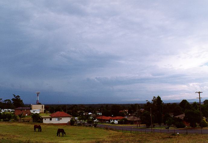
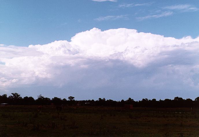
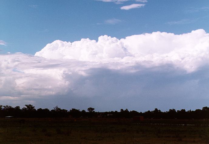
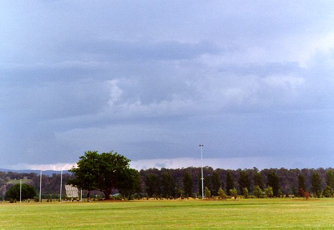
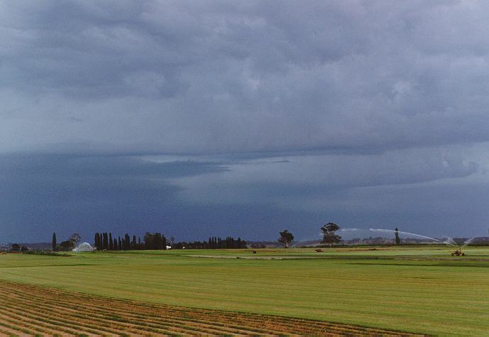
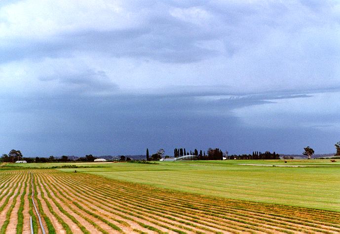
At Richmond, my observations began to focus on the mature thunderstorm to the north. The storms to the southwest were remaining stationary and the storms to the north were not moving to the east or northeast as I had expected. I moved to a better observation point in Richmond where from 4:30 - 5pm, the flanking line from the storm showed rapid development. The precipitation cascade consisting most likely of hail and heavy precipitation (indicated by a light green tinge as well as base structure) physically moved southwest with this development. An adjacent weak cell as a result became a part of this storm.
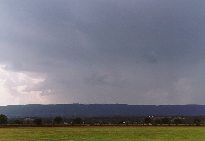
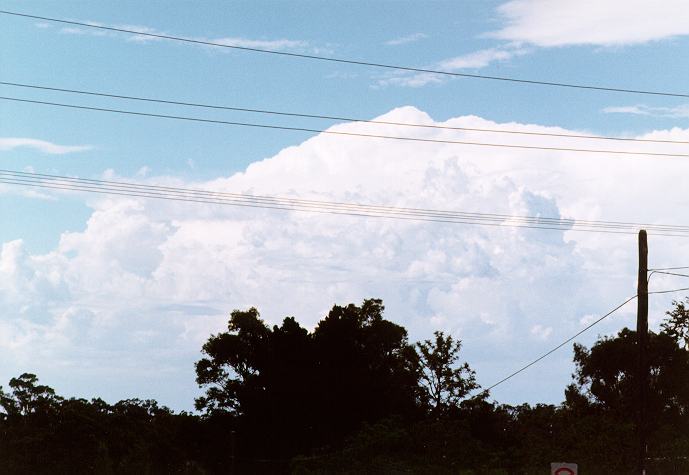
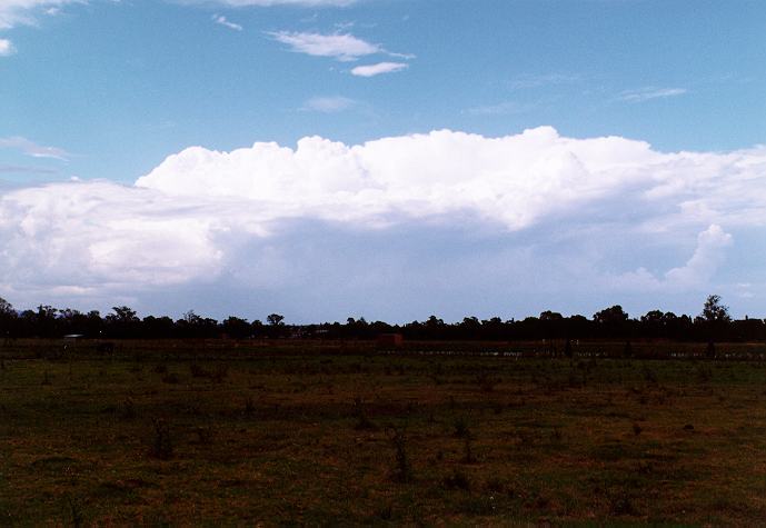
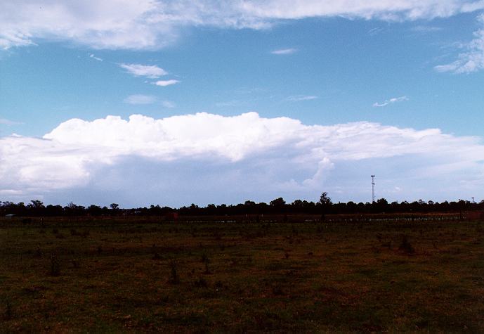
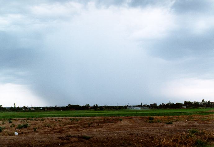
When I headed for Windsor for a fuel stop, I noticed the storm was gradually developing towards the southeast to south. The altocumulus cloud band that was overhead had increased. I positioned myself to the north of Windsor waiting for the next move. At the same time, several cells developed to the south to southeast of my position. These produced a rapidly developing very heavy precipitation cascade in the Dural to Oakville region.
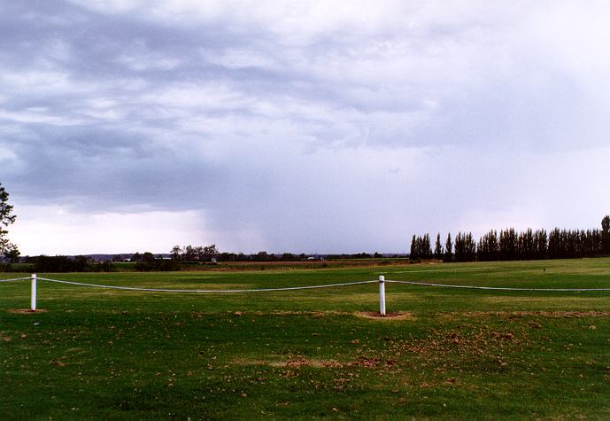
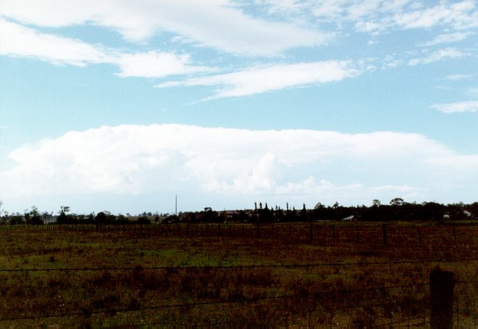
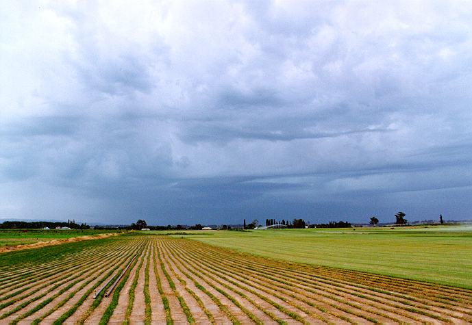
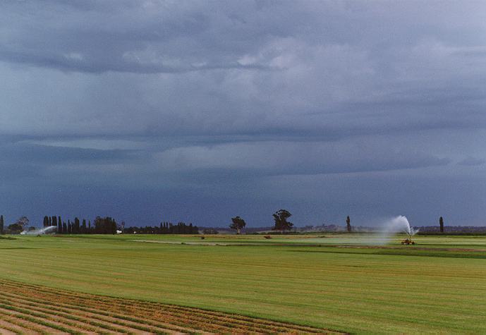
With the storms to the north losing their features, I headed for the storms to the southwest. Around Vineyard to Box Hill, I passed through severe runoff on Windsor Road. The most interesting observation was the fact that one part of Schofields was dry and my rain gauge (in Schofields) recorded at least 4mm of rain. The severe runoff in the Vineyard to Dural area suggests that rainfall was at least marginally severe. There was a report of very heavy rain in short duration near Dural but I have not been able to obtain these statistics. However, hail to 5.7cm diamater was reported from Berridale.
|
Document: 9612-05.htm
Updated: 7th April, 2004 |
[Australian Severe Weather index] [Copyright Notice] [Email Contacts] [Search This Site] |