and Chasing
[Index][Archives]
Massive Dust Storms Blow Through NSW and QLD: Wednesday 23rd October 2002
by Dave Ellem
| Storm News and Chasing [Index][Archives] |
Massive Dust Storms Blow Through NSW and QLD: Wednesday 23rd October 2002 by Dave Ellem |
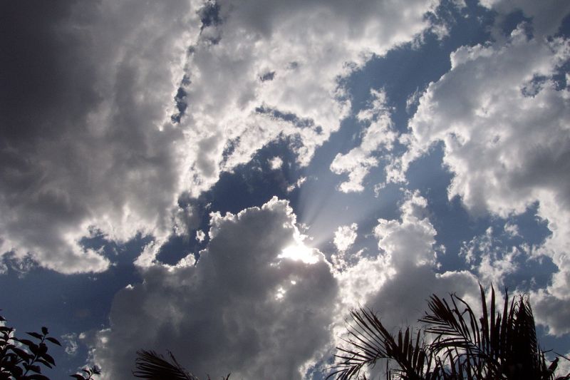
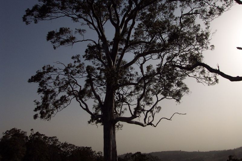
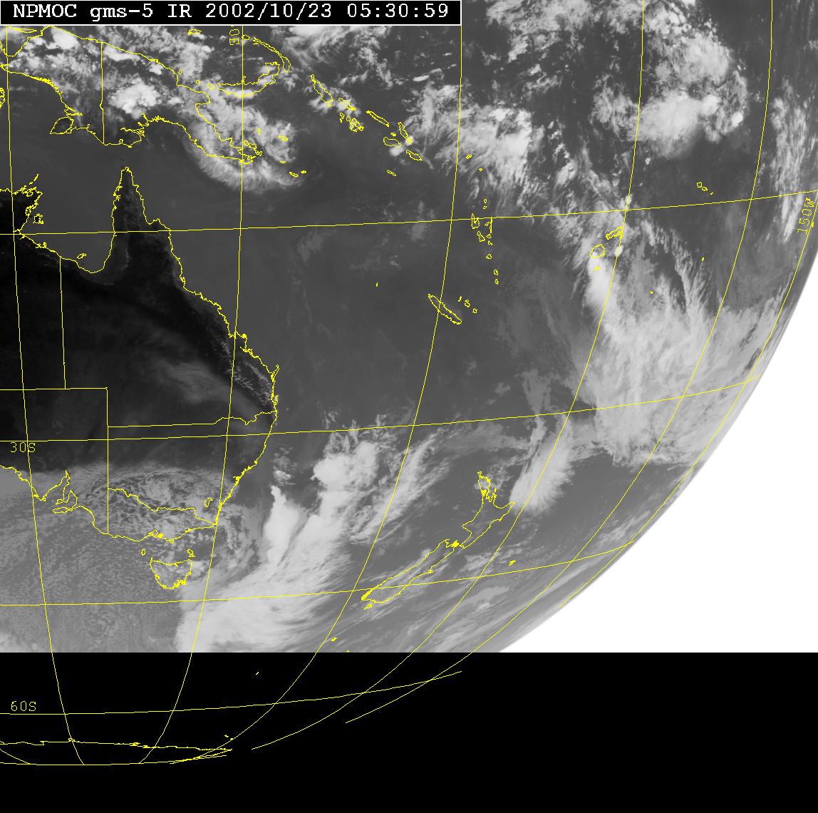
Today I had my second english exam for the HSC, and consequently had completely ignored the weather opportunities for the day. I got home, fairly tired after a hard exam at 12.30pm. I fiddled on the net for a bit, but didn't realise what was brewing. I had noticed that there was the chance of storms in the forecast the day before, but realised that it was just too dry for anything to happen. It was when I decided to have a further look into the weather setup that I realised what was going on. After checking emails, reading the forum, and loading up satpic, I realised there was a huge dust storm out west, heading this way!!! How exciting, I had never witnessed one before! There was quite a strong coldfront moving up the coast, which had picked up the topsoil from the even more barren outback Australia. The temp was now quite high for my home, around 33C, with a DP in the very low teens. The NW winds were gusting through the area reaching around 50km/hr (also a big achievement considering my location amongst trees, and it was the highest wind sped I've recorded). I then realised that the barometer had reached 994hpa, by far the lowest pressure I've recorded in the last year. Most excited by the rather unusual weather (dubbed 'freaky' by James Chambers), I continued doing my usual chores around the house. Around 1.30pm I first noticed a turkey tower to the NW. Completely stoked that anything had managed to develop I ran out to have a look.
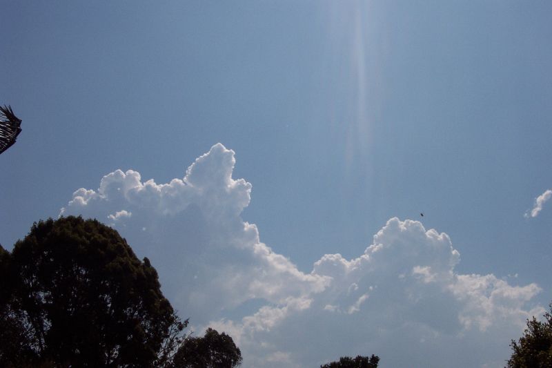
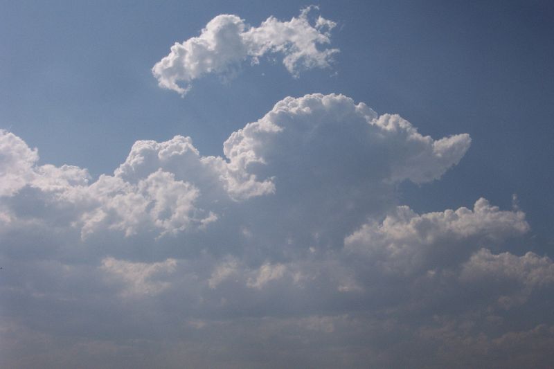
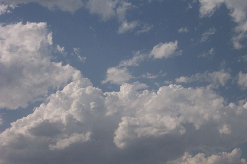
Over the next hour, heaps of Cu and Cjs developed, very high based, and very low topped. Signs of a very dry atmosphere. Out of curiosity I loaded some AVN data and saw LI's were down to -6 with CAPE around 1000 over us!! Wasted instability! Nothing gets me more annoyed. Still there was the excitement of the dust storm to come! It was quite eerie watching the dustfront progress closer and closer on satpic during the afternoon, like something really significant slowly encroaching!
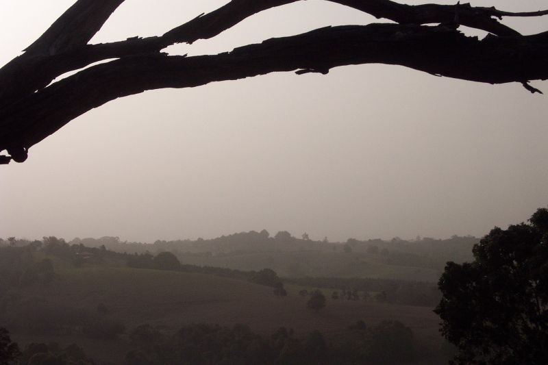
Around 3.30pm I decided I'd go out to a good lookout for a view of the dust as it rolled in, motivated by severe SDS (storm deprivation syndrome) and James and Anthony. I called a friend (who had also spent his whole afternoon studying............) and we headed off to Tregeagle. When there I was a little disappointed at the lack of definement in the dustfront. The horizon just looked hazy. The winds were quite strong, bringing down some small branches from the gumtrees near us. We watched as the dust quite quickly made it's way over us, which was a more gradual process than one wall of dust unfortunately. Never the less it was quite fun to watch, and standing in winds that were pushing you along was even more fun!
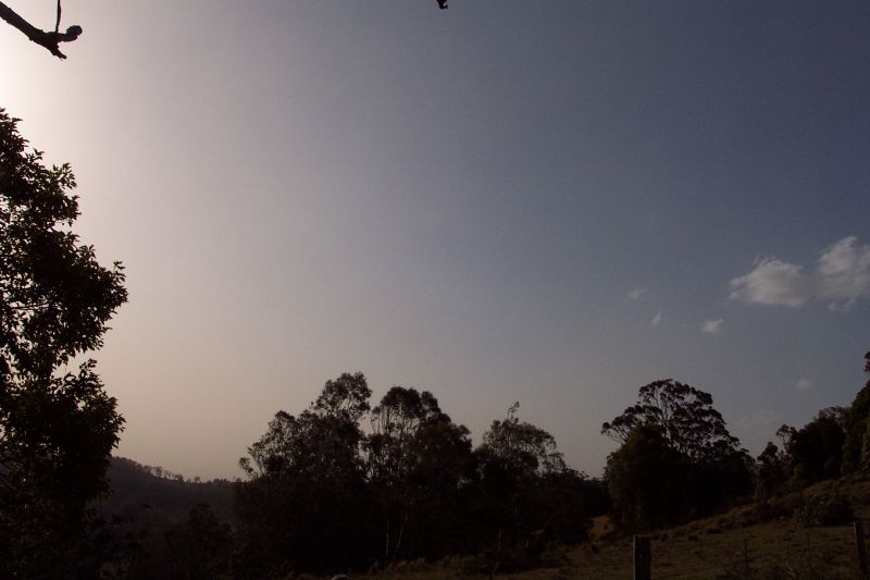
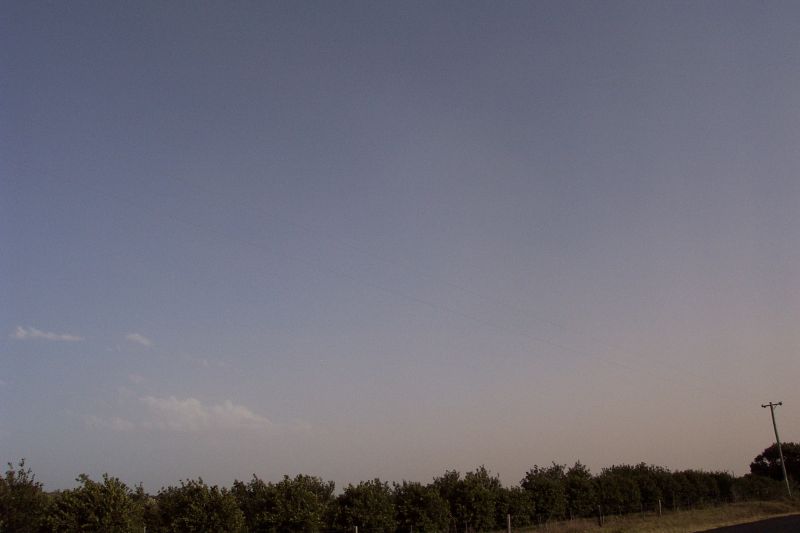
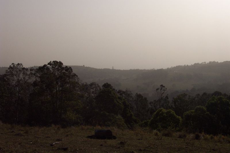
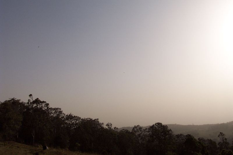
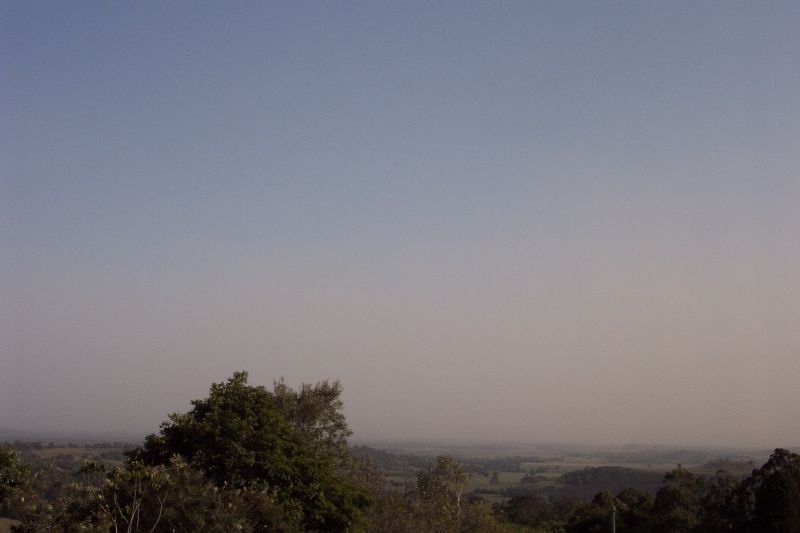
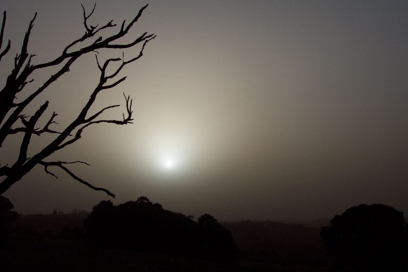
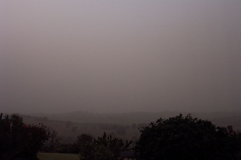
By about 4.15pm we headed for home, planning to watch the main cloud of dust move in from there. When I got home, dust had filled the atmosphere! Visibility was down to around 3000m, and the sun had turned a 'freakish fluro white' colour, and you could see the disc quite easily (which I realised was probably REALLY bad for my eyes!). I had to help dad with some stuff and ended up on the southern edge of the Alstonville Plateau for sunset. This was quite interesting as the sun disappeared into the dust haze about 15mins before it would have reached the horizon. It was quite weird to see the sun with the light intensity of the moon, although I didn't watch for too long as I realised it would still have to be damaging to my eyes.
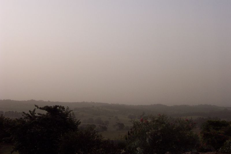
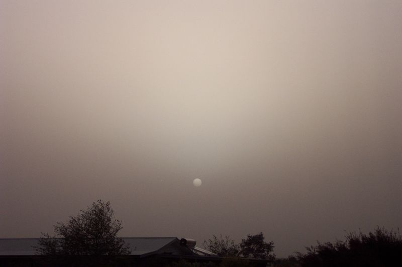
By sunset visibility would have reduced quite a bit. I could barely see 300m from the front of our home. With the wind gusting from the NW, and the still intense heat (over 31C around 5.30pm), it was a very bizarre feeling, but exciting. I had never witnessed anything like this before!!
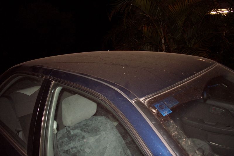
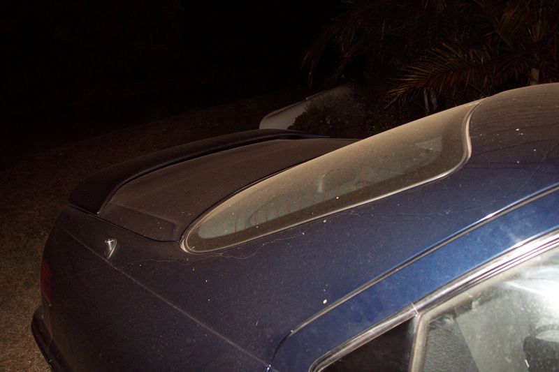
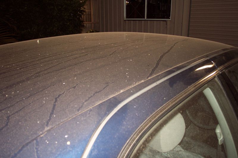
To keep the dust out of the house we kept it well shut up. It wasn't till around 9.30pm that I went outside for a look. The sky had cleared a bit, but the almost full moon revealed the dust that was still in the sky. I went out to my brothers car, which arrived around 2 hours earlier, and it was covered in dust!! I had no idea that much would settle and was quite amazed.
It was a really exciting day weatherwise, and as Andrew Miskelly stated in an email to the Aussie-wx list, 'Today's just one of those days where it's all happening. Anyone with some sort of summary in front of them will have reports highlighted for snow in Tassie, dust storms in NSW and QLD, temps of -2 in the Victorian high country ranging to 43 in the Kimberley, gales with gusts to 50 kts in the SE...the list goes on - and that's all within the last few hours.
That's the way we like it!'
I couldn't agree more!
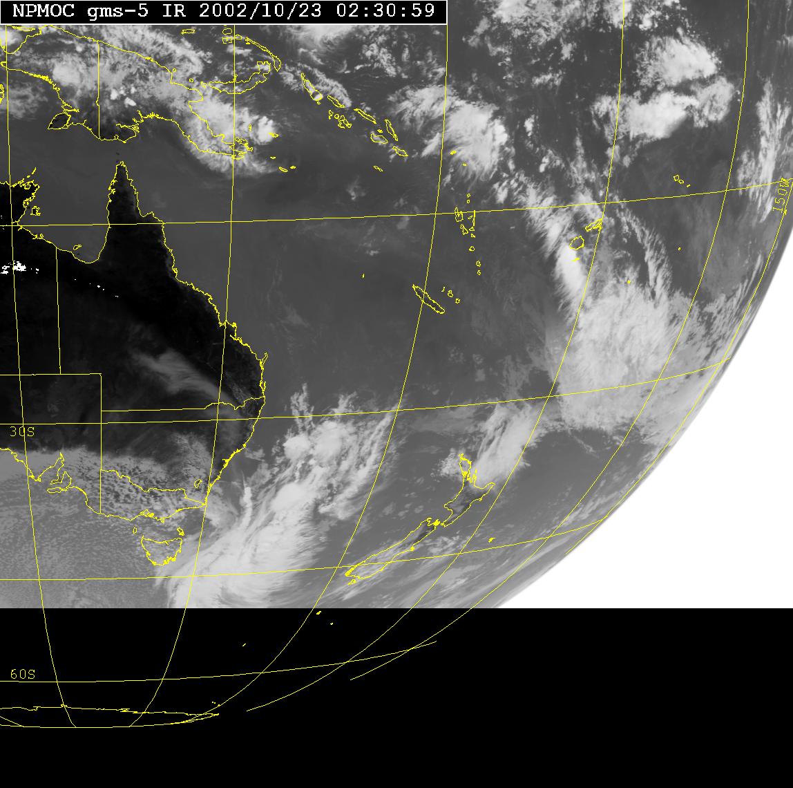
GMS-5 IR 0230z (12.30pm local)
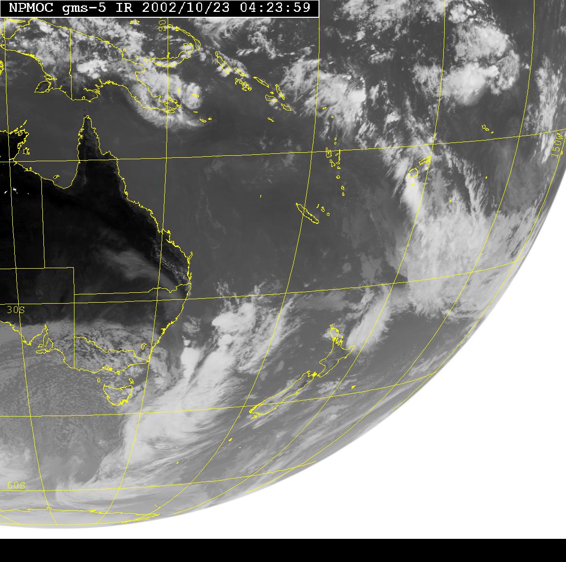
GMS-5 IR 0423z (2.23pm local)
GMS-5 IR 0530z (4.30pm local)
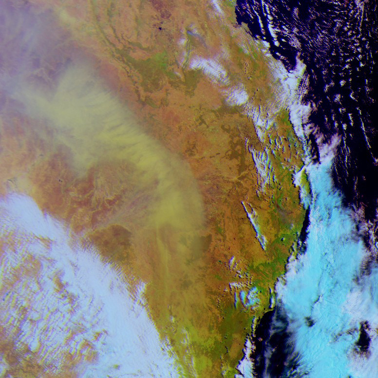
Colour satellite photo showing the raised dust. Thanks to the Bureau of
Meteorology (517Kb)
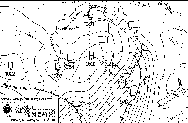
Analysis Chart
Document: 200210-02.htm
Updated: 17th January, 2005
[Australian Severe Weather index]
[Copyright Notice]
[Email Contacts]
[Search This Site]