and Chasing
[Index][Archives]
Bungawalbyn to Whiporie Storm Chase - Severe Multicell: Sunday 19th December 2004
by Michael Bath, Dave Ellem and Rodney Wallbridge
| Storm News and Chasing [Index][Archives] |
Bungawalbyn to Whiporie Storm Chase - Severe Multicell: Sunday 19th December 2004 by Michael Bath, Dave Ellem and Rodney Wallbridge |
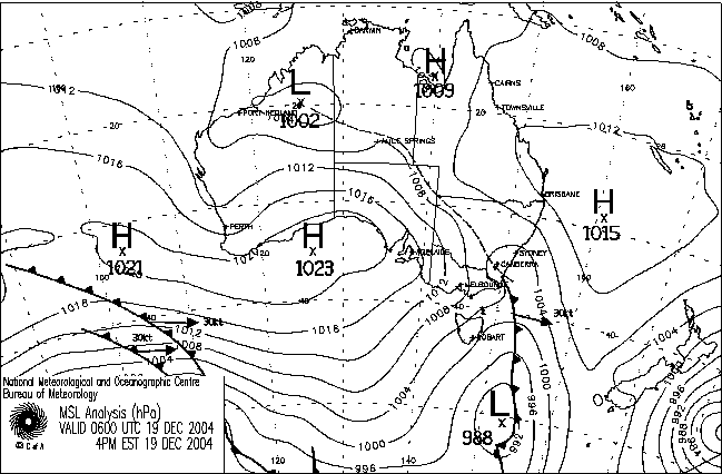
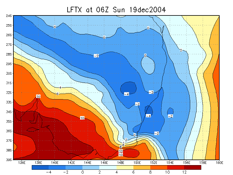
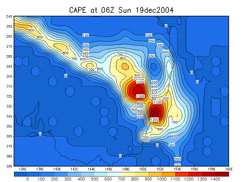
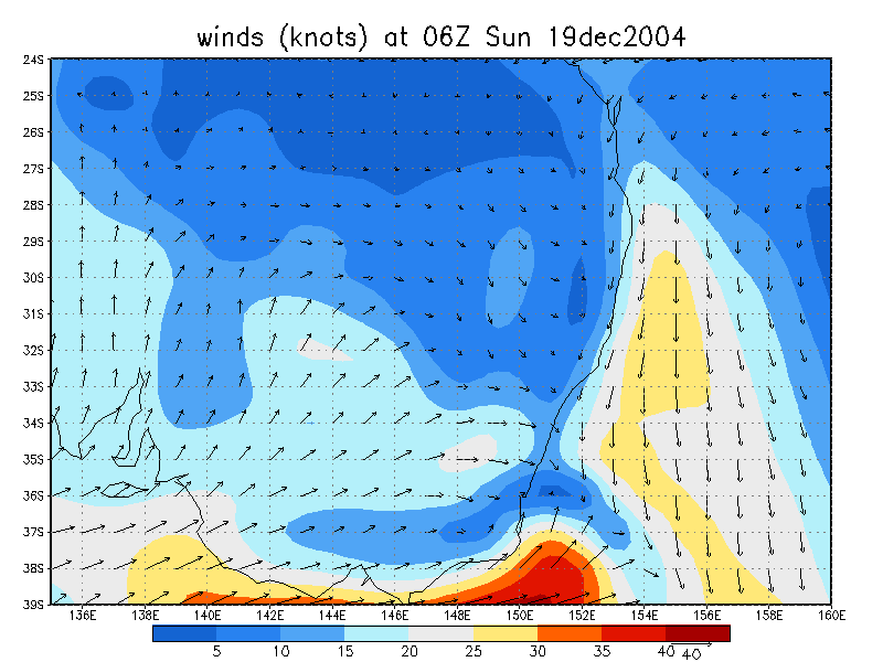
It was a fairly marginal setup for the Northern Rivers. The main expectation for today was weak generally N to NE moving storms most likely along the eastern parts of the Great Divide, or the Richmond Range to its east. Shear was weak throughout but did have very good turning with height, almost 180 degrees from NNE at surface, NNW at 925, WNW at 850, and SW at 700. The cap was fairly weak in the region and 500 temps were about -10, not particularly low given the surface only got to about 30.
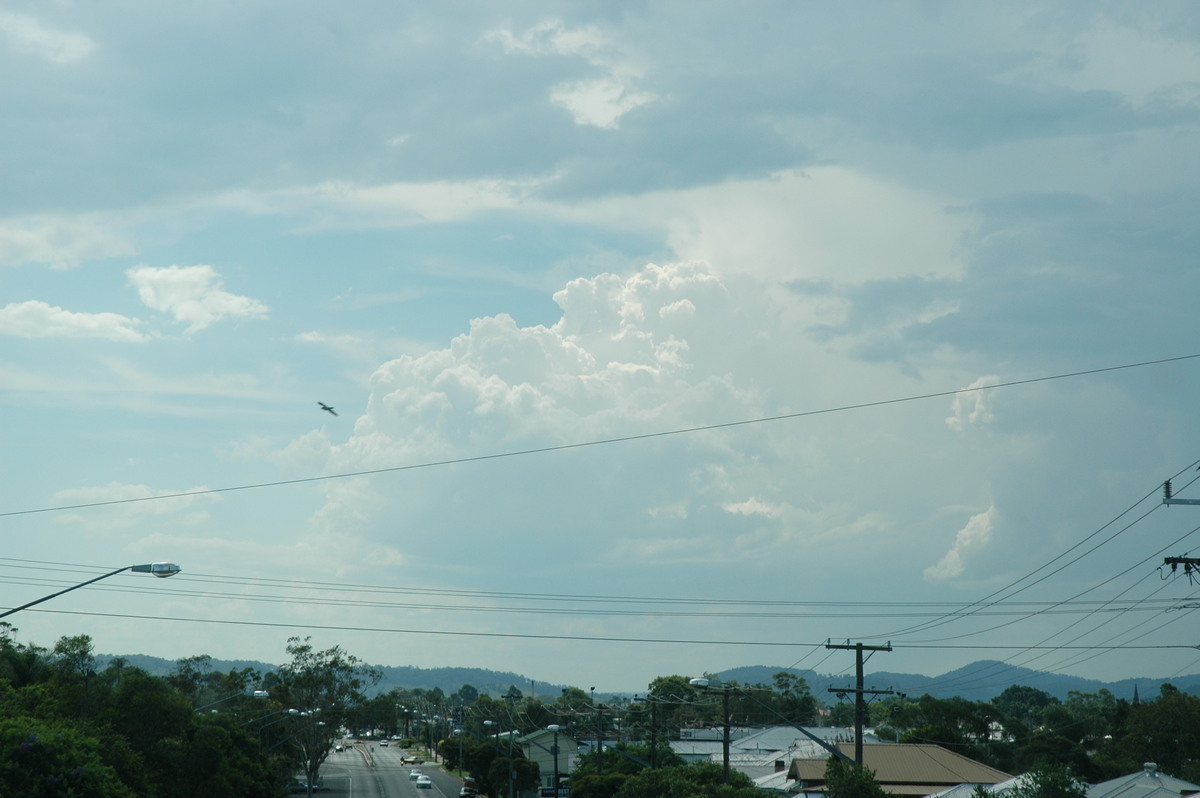
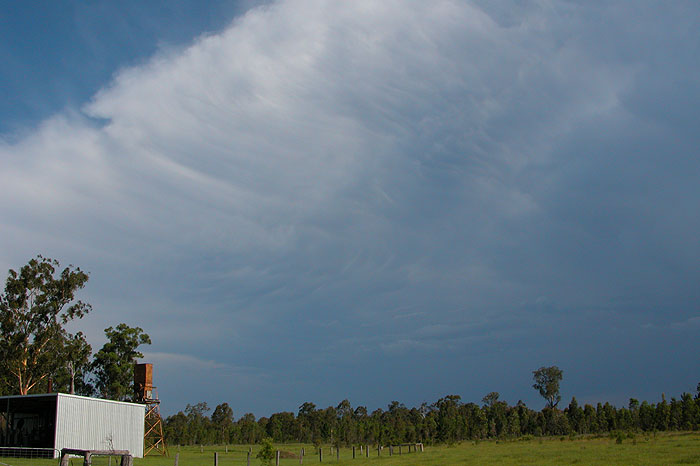
The morning was quite cloudy with areas of altocumulus dominating the sky. An isolated shower occurred in the Casino area late morning. It looked like this mid level cloud would hang around but it soon cleared to mainly sunny skies. Cumulus started to form to the west along the Richmond Range.
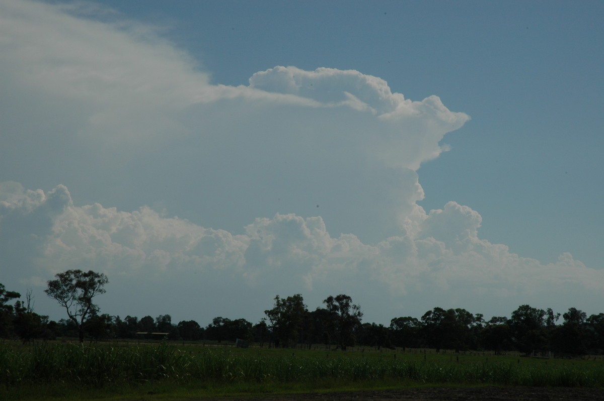
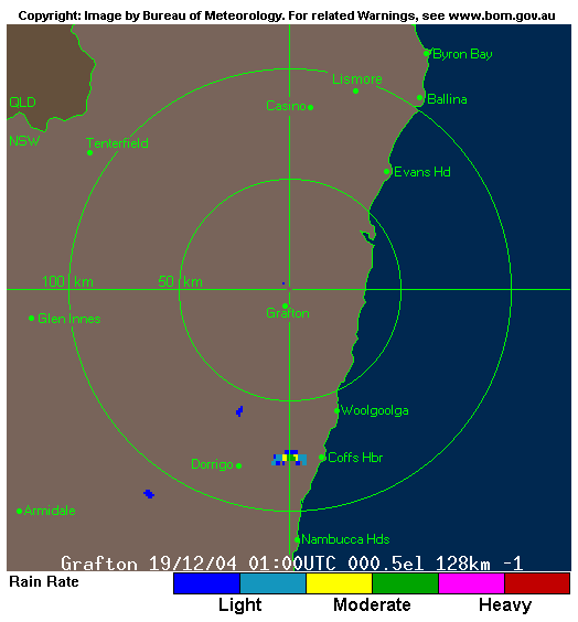
Storm activity developed in the Dorrigo to Coffs Harbour area from about noon and bubbled away for quite some time before beginning a general NNE trek. Some weak activity also formed on the Richmond Range WNW of Casino after 2pm. Cumulonimbus tops were quite high but the whole structure looked very disorganised and moisture starved.
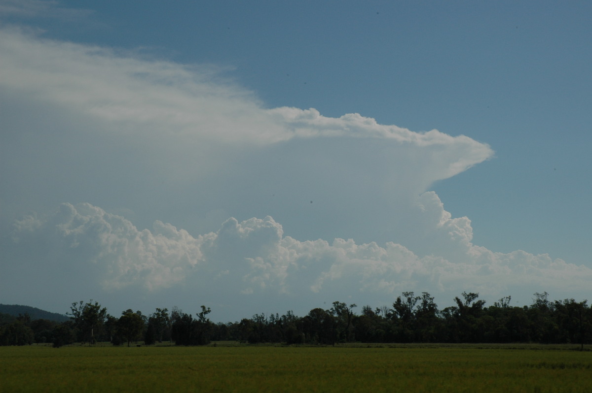
The activity that had formed near Dorrigo started to get a move on so we decided to head out. Rodney Wallbridge picked me up from McLeans Ridges then we picked up Dave Ellem from Wollongbar. The initial strategy was to head to the lookout south of Lismore in case the activity to the west got going, or to easily head south if the storms there maintained their strength coming off the hills south of Grafton. The drive to the lookout very quickly indicated what would be best: the stuff to our WNW had almost collapsed to nothing, while the storms to the south looked to be fairly strong multicell and heading NNE towards our local area. Ray Mullens provided some radar updates which reinforced the decision to head south and try and get as close as possible.
We travelled SE and through Coraki then decided to try a SW heading road to Whiporie - a small village on the Summerland Way about 50km south of Casino and 50km north of Grafton. The storm continued to produce strong updrafts though the anvil was a bit weakish for our liking.
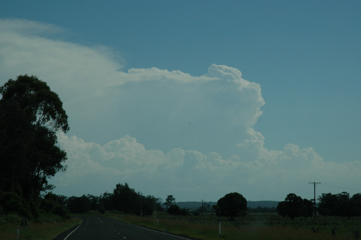
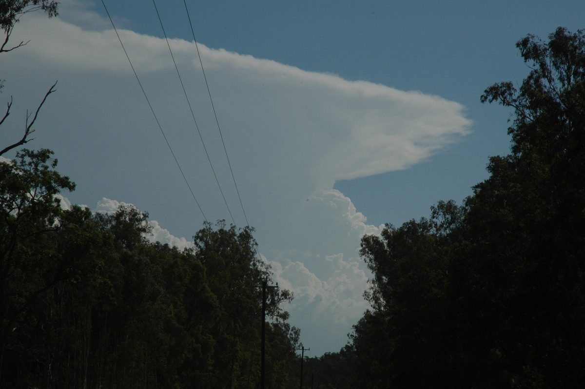
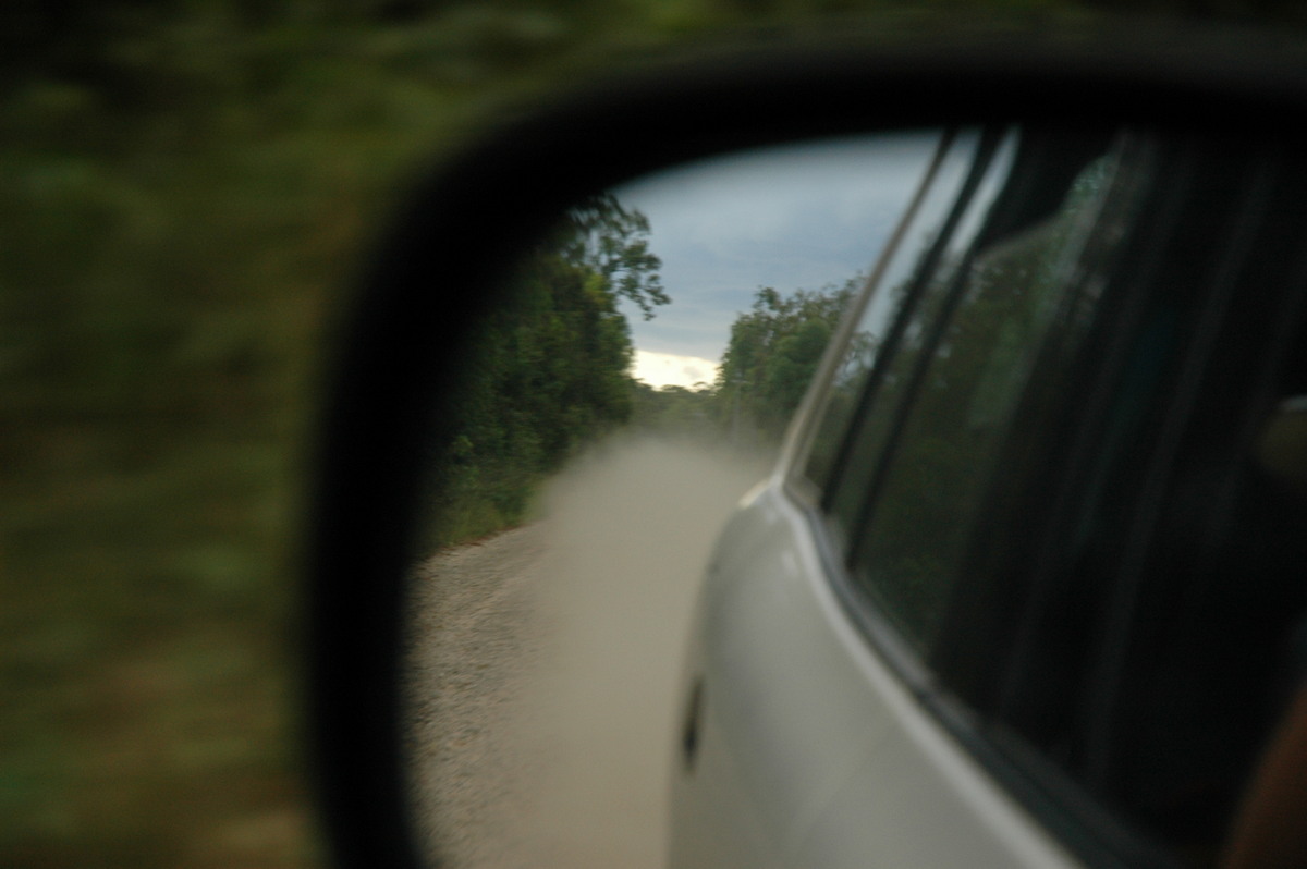
The road was gravel after about 5ks but Rodney was in his element in the Rav4 ! The area is quite heavily forested and none of us knew if there would be any decent clearings to view the storm, but we caught enough glimpses to keep the excitement up.
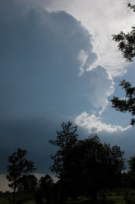
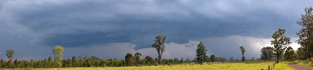
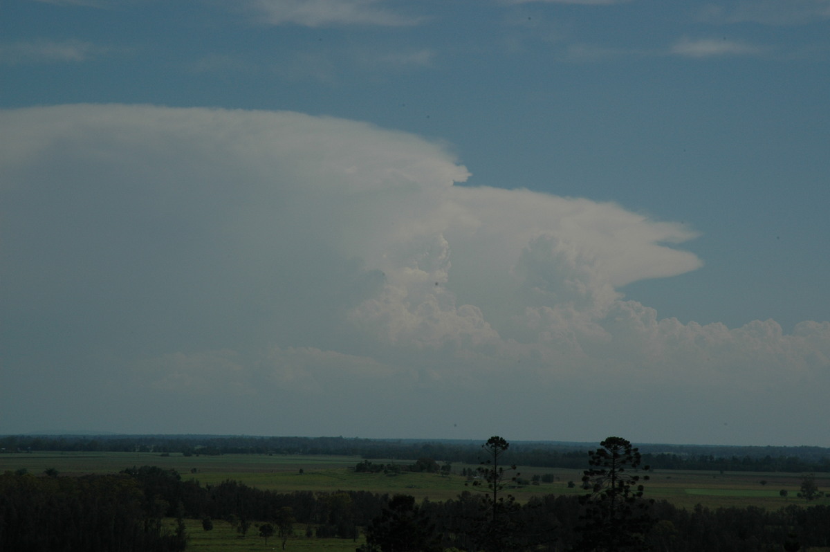
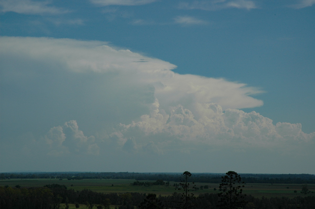
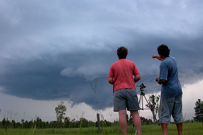
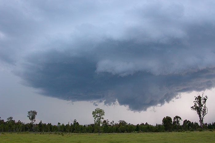
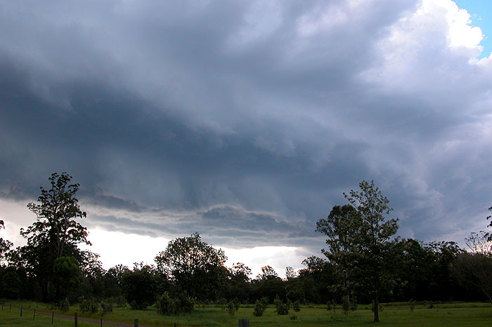
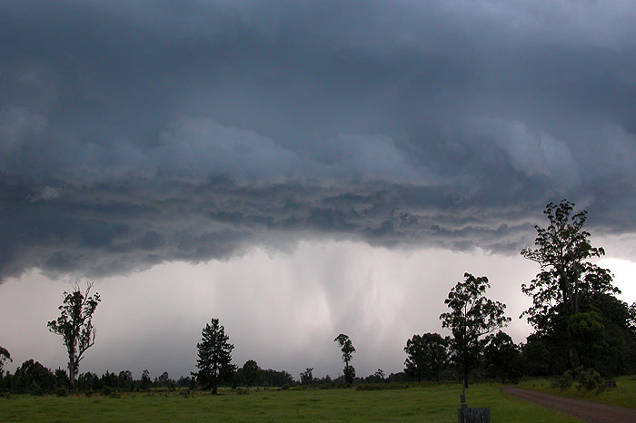
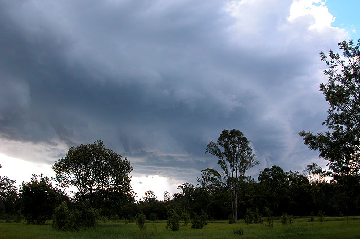
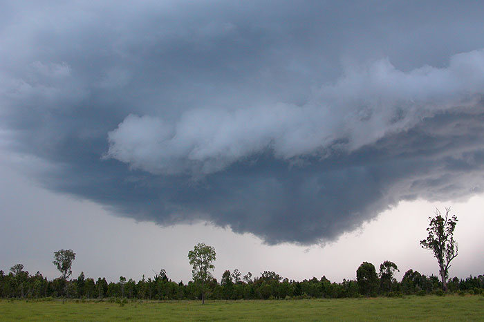
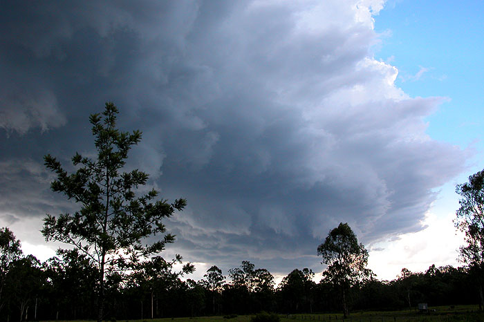
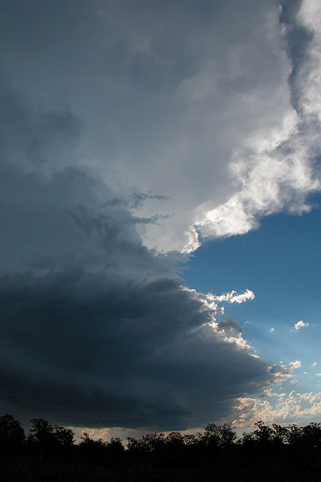
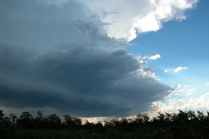
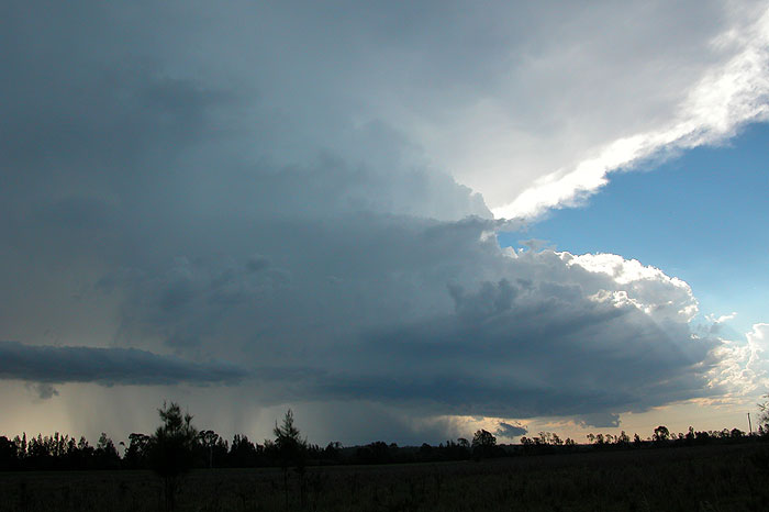
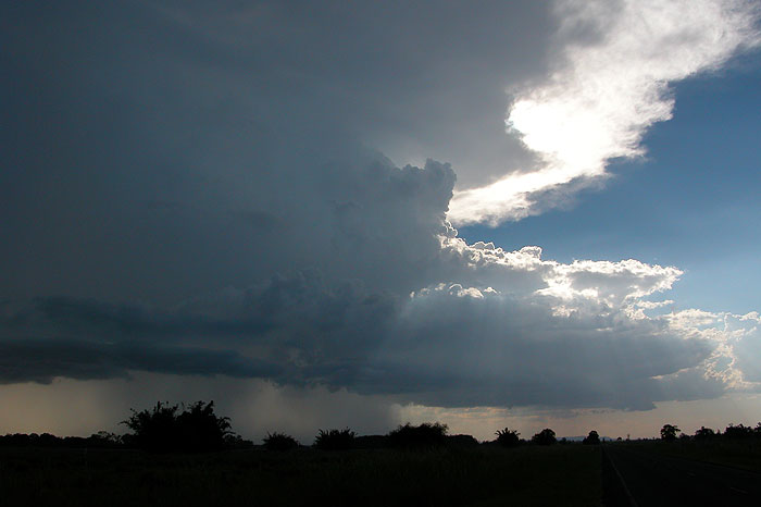
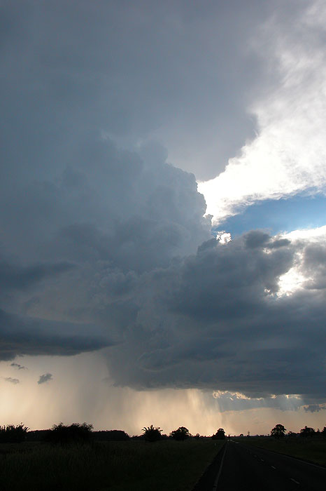
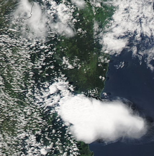
About 15km NE of Whiporie (and about 35ks along this road) we found an excellent clearing with almost perfect views of the approaching storm. The time was 4.40pm and the storm really started to exhibit signs of strengthening. Powerful updrafts continued along the northern flank, the anvil thickened and the lightning was constant.
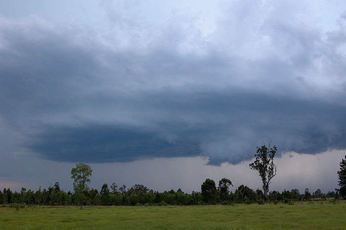
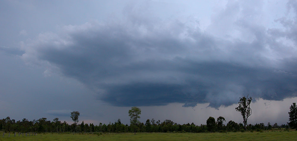
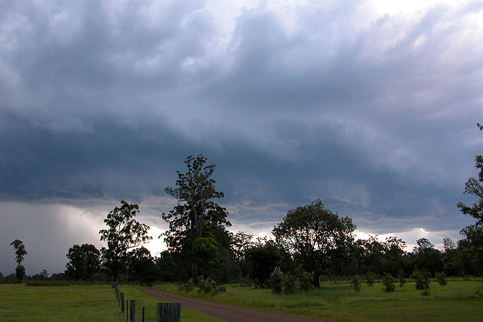

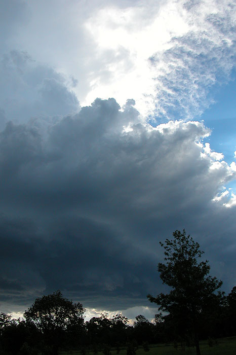
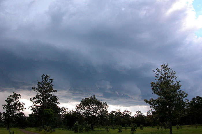
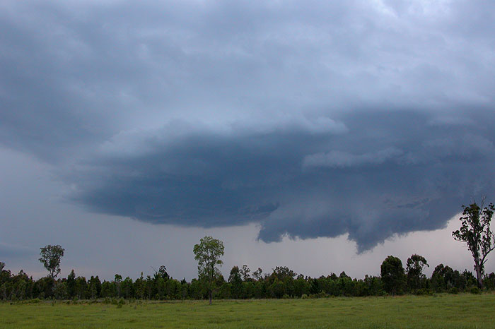
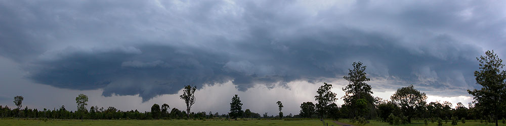
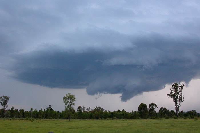
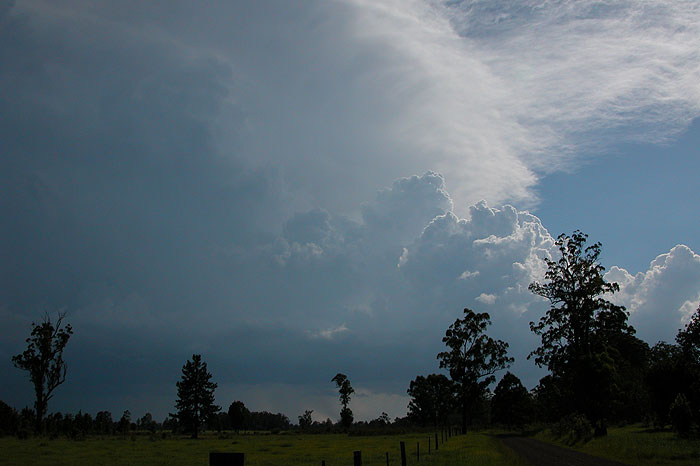
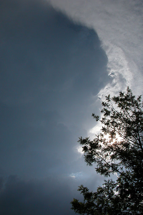
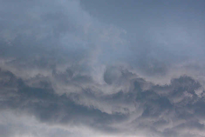
A nice rain free area formed and approached us. This slowly evolved into a curved structure with spectacular lowerings punctured by frequent CGs. Intense precipitation with microbursts occurred just NW of the probable wall cloud. There was some evidence of rotation in the base but base movement was mainly towards the north. The storm was inflow dominant during this time. The features observed indicate the storm may have become supercellular and later radar inspection reveals characteristics of this, but it would only have been for a brief time.
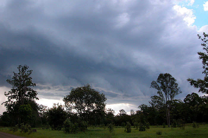
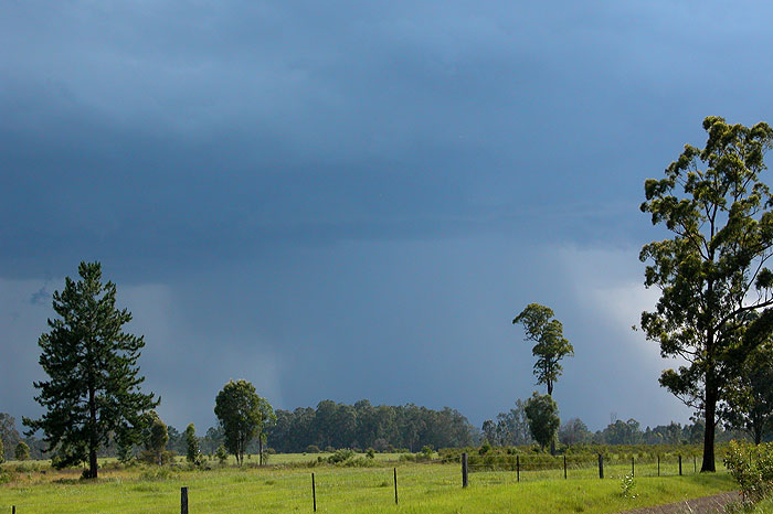
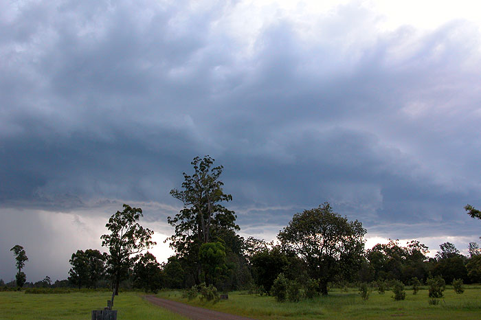
We watched the storm at this location until about 5.10pm then headed back the way we had come to stay out of the precipitation. The storm soon started to weaken and become outflow dominant. New updrafts continued to form but the whole structure had contracted in size.
By the time we had returned to the Coraki area is was obvious the storm would not last much longer but still had interesting features. It had completely rained itself out by 6.30pm
It was a good chase as the timing was perfect when we intercepted the storm at its most intense phase. We also got to check out a new road option for future chases. We suspect some isolated properties along the Summerland Way near Whiporie would have experienced damaging winds and hail.
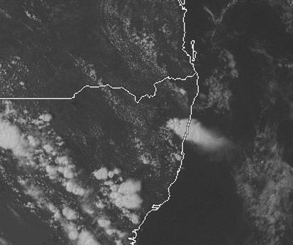
From Weatherzone
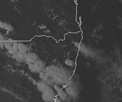
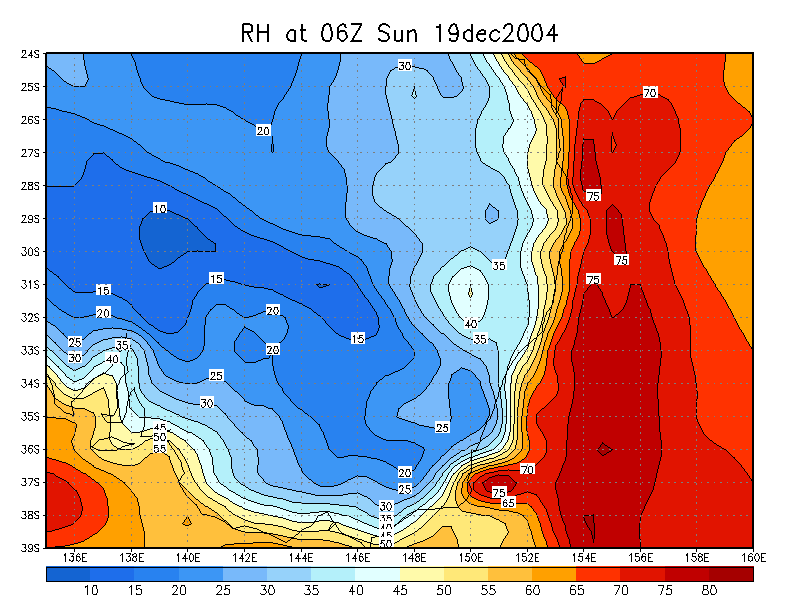
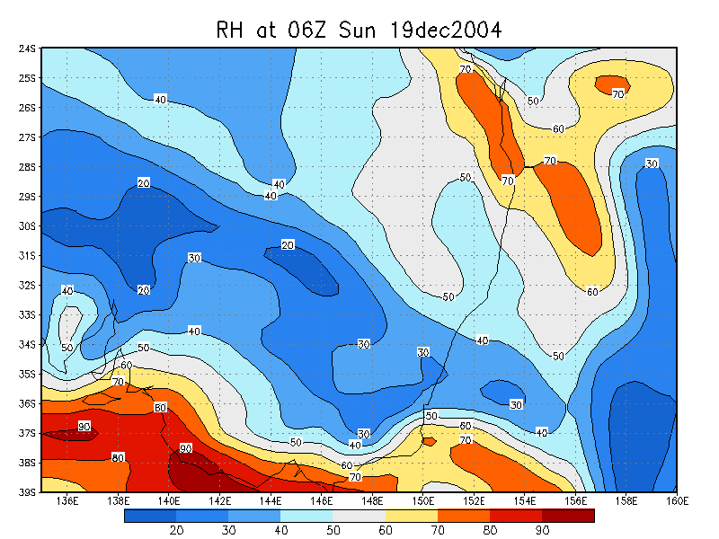
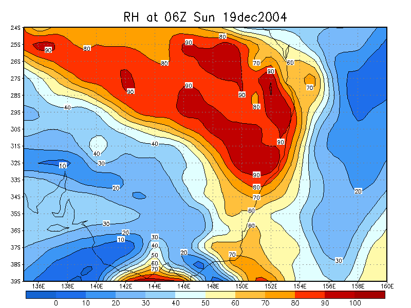
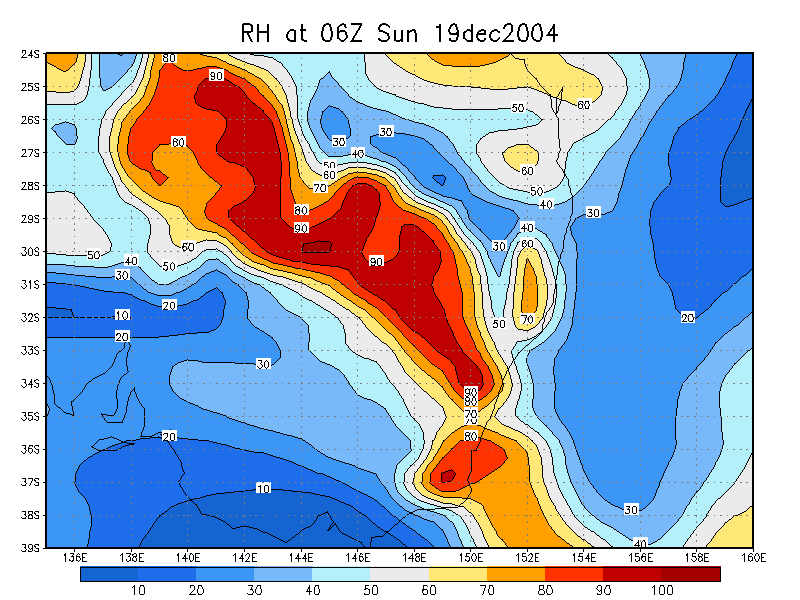
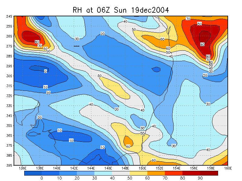
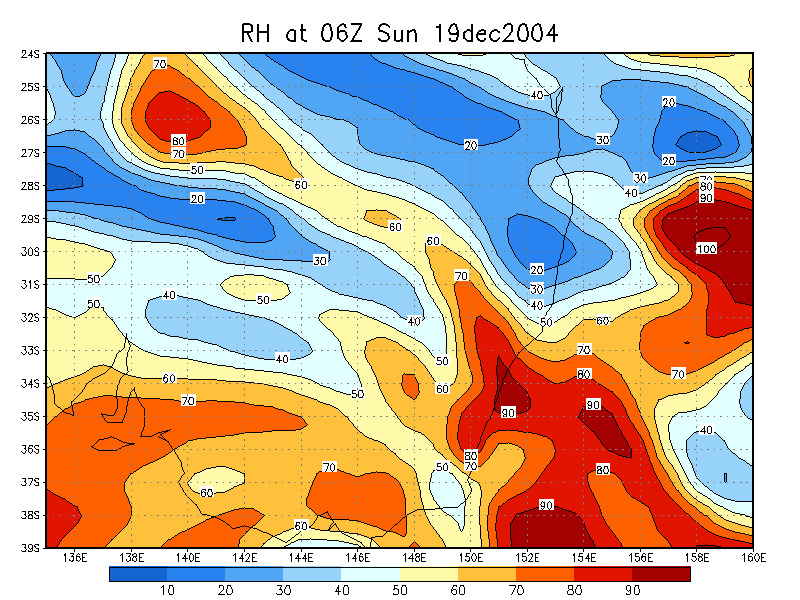
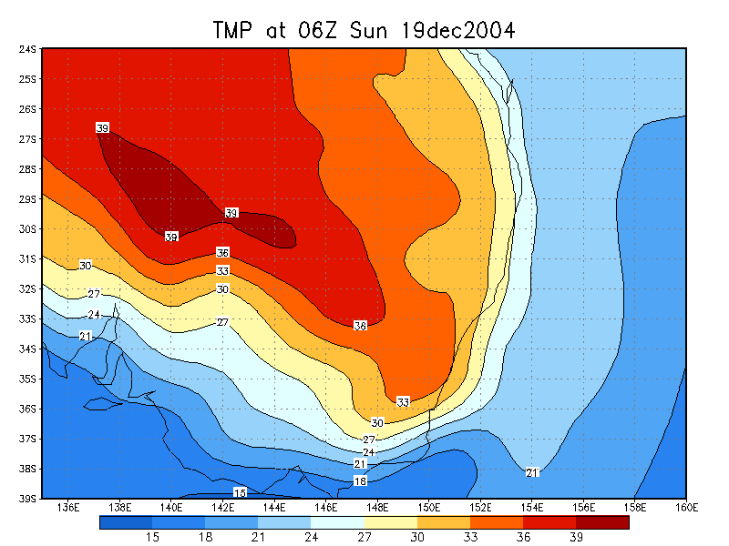
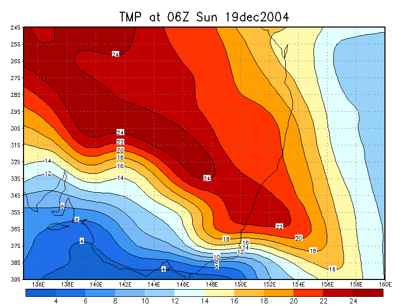
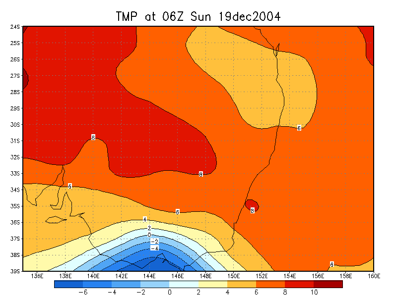
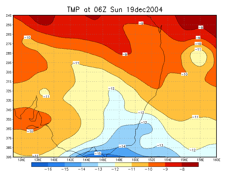
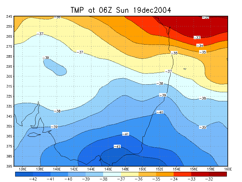
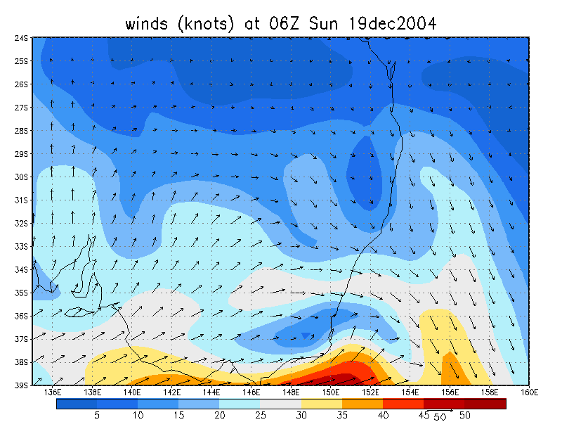
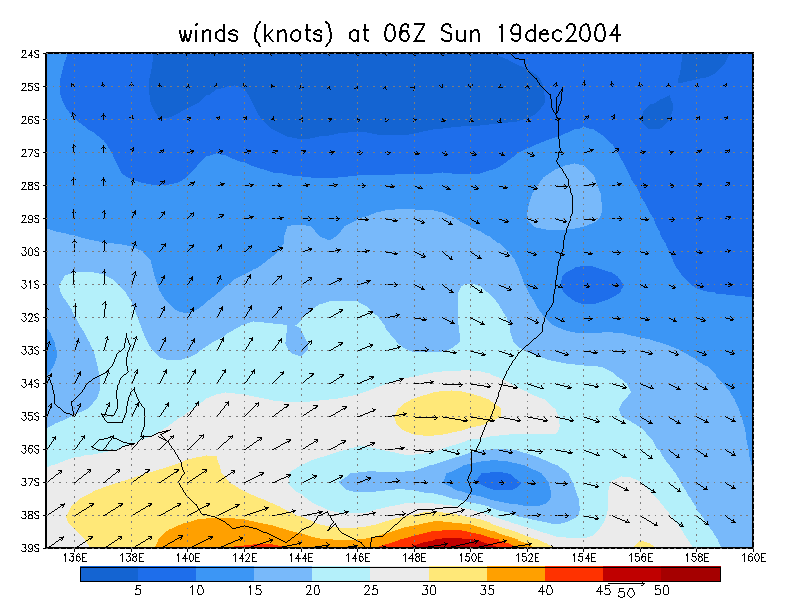
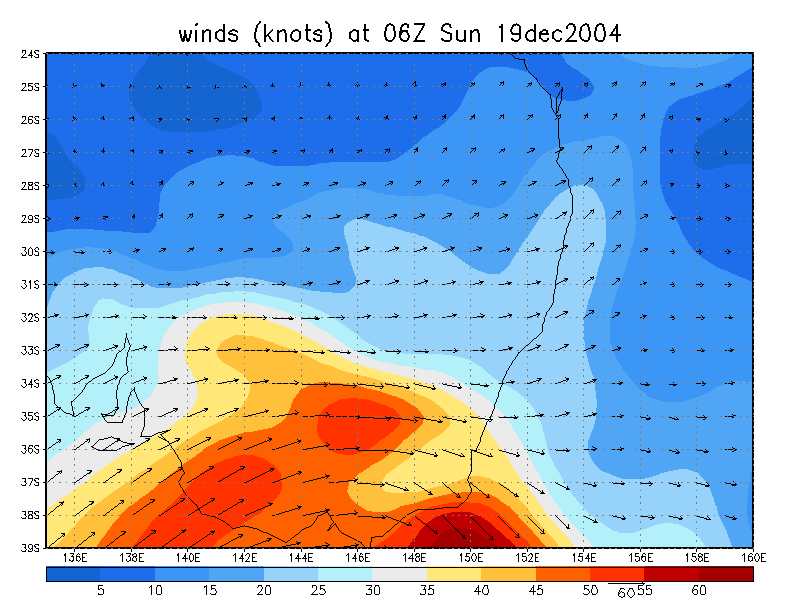
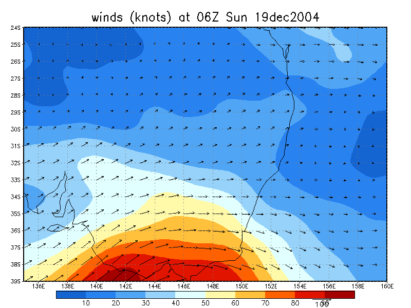
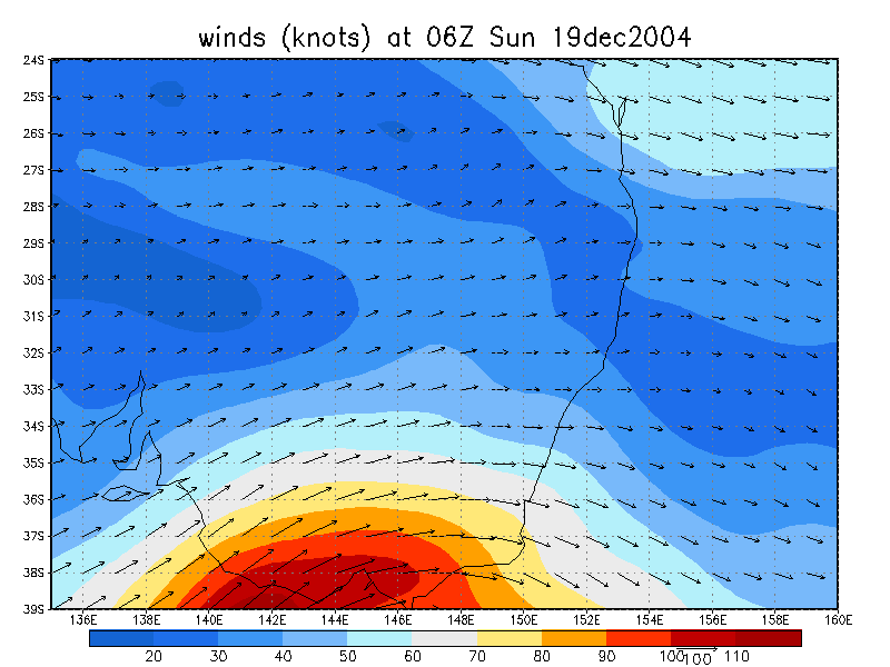
From NOAA 19/12/2004 06z analysis run
|
Document: 200412-03.htm
Updated: 29th December, 2004 |
[Australian Severe Weather index] [Copyright Notice] [Email Contacts] [Search This Site] |