and Chasing
[Index][Archives]
Severe Winds, Hail and Amazing Lightning - NSW Northern Rivers: Friday 21st January 2005
by Michael Bath and Dave Ellem
| Storm News and Chasing [Index][Archives] |
Severe Winds, Hail and Amazing Lightning - NSW Northern Rivers: Friday 21st January 2005 by Michael Bath and Dave Ellem |
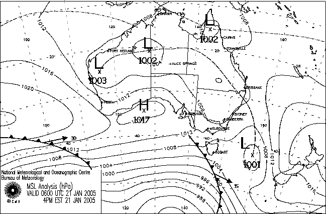
Instability was forecast to be quite high in the Northern Rivers this afternoon, but as has been the norm this entire season, it was still a marginal setup. A trough line which caused violent storms (including 2 tornadoes) though parts of the Northwest and Central West of NSW the day before was weakening and may or may not stall over the north of our region.
We anticipated storms would form along the Northern Tablelands and Richmond Range and track slowly east or ENE due to mostly weak shear. It was hot (especially inland) and very humid. GFS analysis showed the atmosphere would be fairly dry apart from the surface and 700 levels, with the eventual position of the trough line to determine if we would get any storms. Microbursts were likely from any activity. Supercells were possible further to our north in SE Queensland.
Small cumulus persisted before some congestus formed to the northwest by noon. Dave Ellem and I headed out at 1.30pm and drove to the Richmond Range lookout at Mallanganee. Rodney Wallbridge and Ray Mullens headed out a little later but stayed back at Parrots Nest south of Lismore.
It was a bit of a hot wait with only very weak cells trying to form in the area. Some better activity appeared to be occurring just over the border in Queensland. Nothing was forming on the Northern Tablelands. While waiting the winds changed from N to NW and probably WNW - not good ! The trough line was right on us it seemed.... at least we knew the forecast was for it to stall and retract westwards later.


We moved back east as some very weak thunderstorm activity tried to get going by about 3.30pm but it was not until 5.15pm that the sky looked hopeful again. We drove into Kyogle and stopped briefly to watch the convection occurring around us.


We decided to head back to halfway between Casino and Kyogle. Two cells to our south and SE looked nice and another one was ok just to our west.


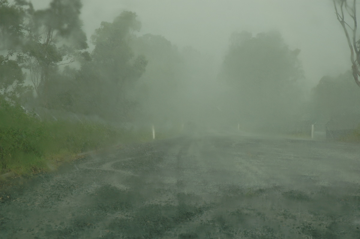
We moved south a bit and watched a spectacular microburst formation occurring just west of Casino. The storm was still quite small and it was not obvious at first if the cell would persist.


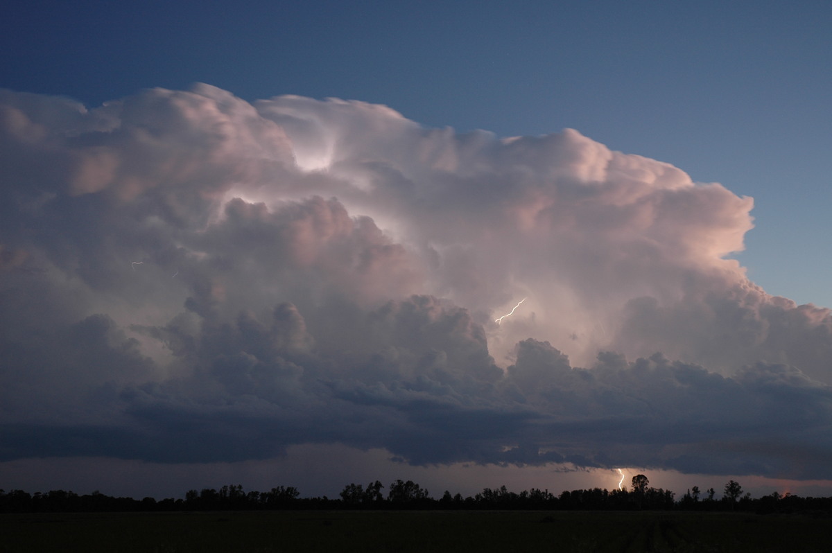
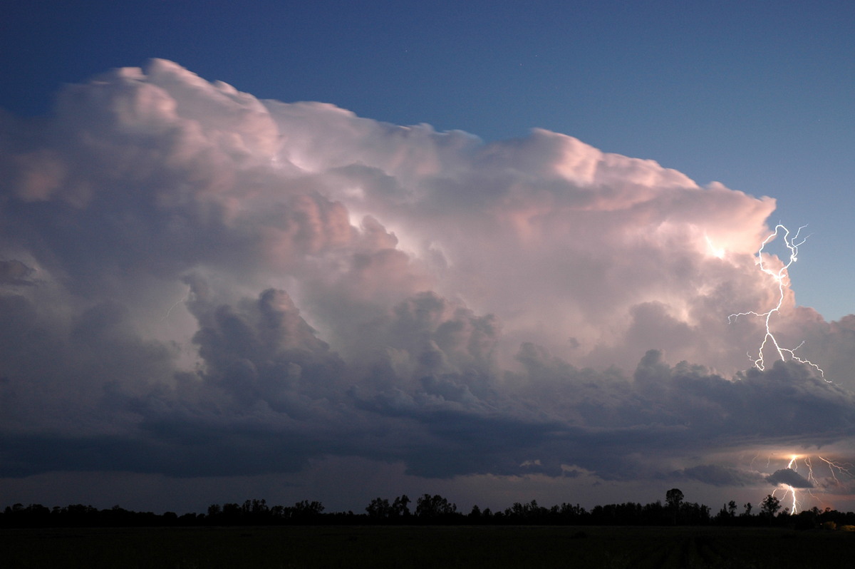
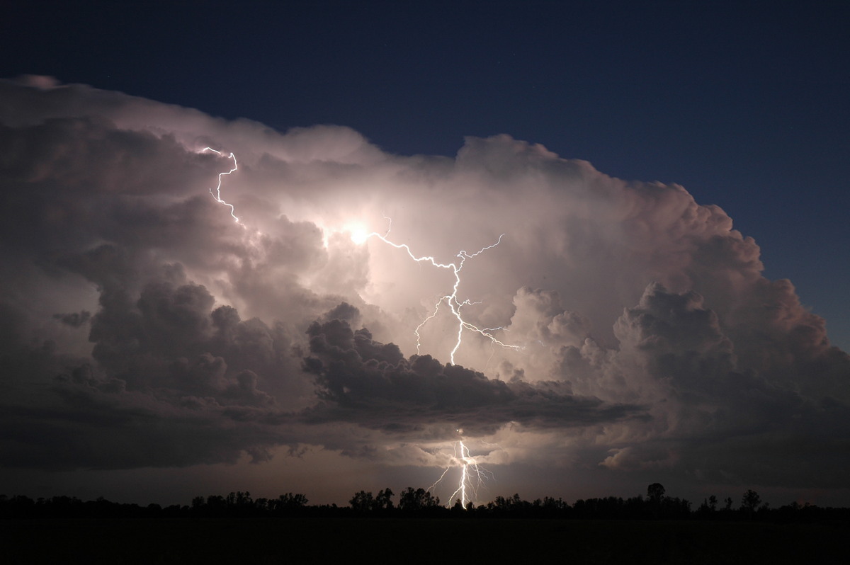
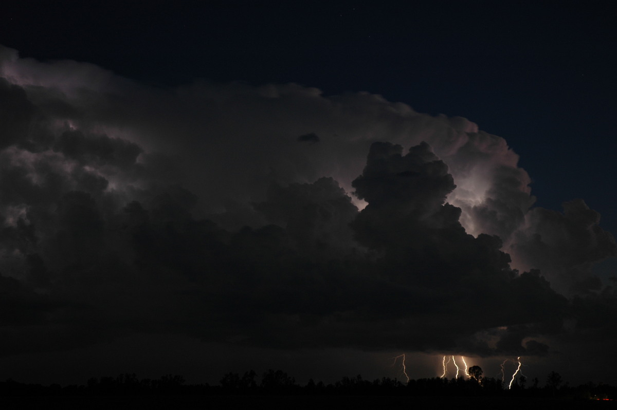
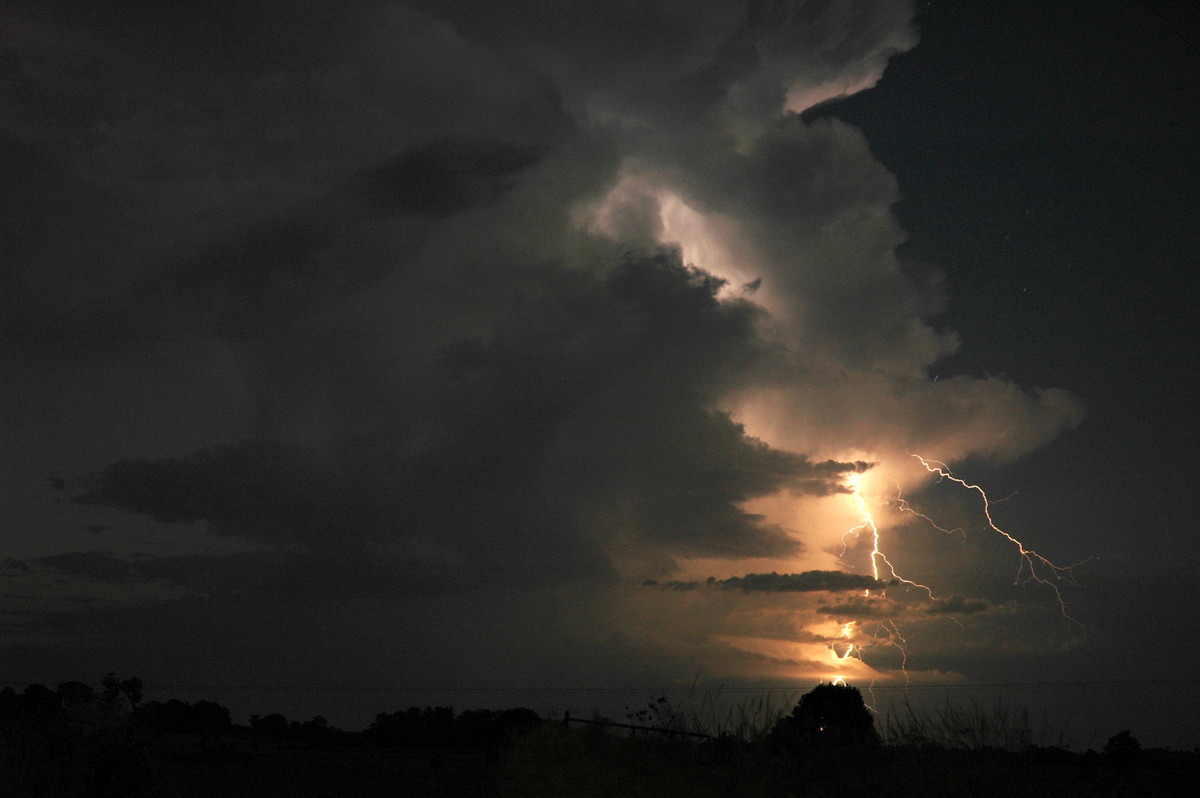
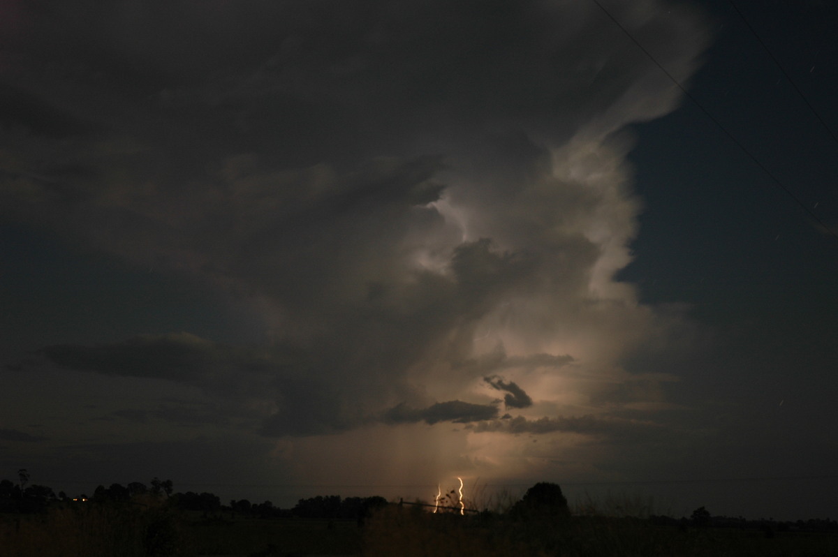
The storm was heading ENE so the decision was made to head north then SE down the Kyogle Lismore Road to stay in a good position to observe. The storm started to look severe just before 6pm with a rapid expansion and much higher tops. The precipitation cascade had a persisting hail shaft and awesome clear air CG lightning frequently occurred out the back of it.


The storm was moving very slowly and we caught up with it as it moved through the southern and eastern parts of Lismore. The lightning show was incredible, so many clear air CG bolts and now they were almost right on us ! Rodney and Ray were enjoying the display from Goonellabah now and we soon met up with them as the now severe storm was hitting the East Lismore area. Violent winds, flangs and small hail battered us. Yes that's right - Rodney's cherished Rav 4 was getting hailed on !! shock horror ! Branches snapped off trees and flash flooding occurred. Fortunately the hail was only small on this occasion.
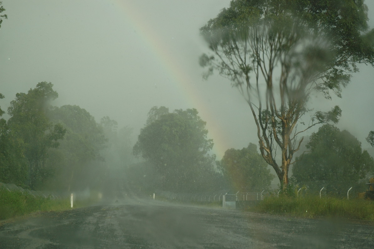
The storm very quickly weakened just east of the Lismore suburb of Goonellabah.


Large cumulus was persisting into sunset, a good sign indicating the trough had in fact stalled in the area as forecast. We watched a couple of weak looking storms form to the south then moved to a position near Woodburn to observe.


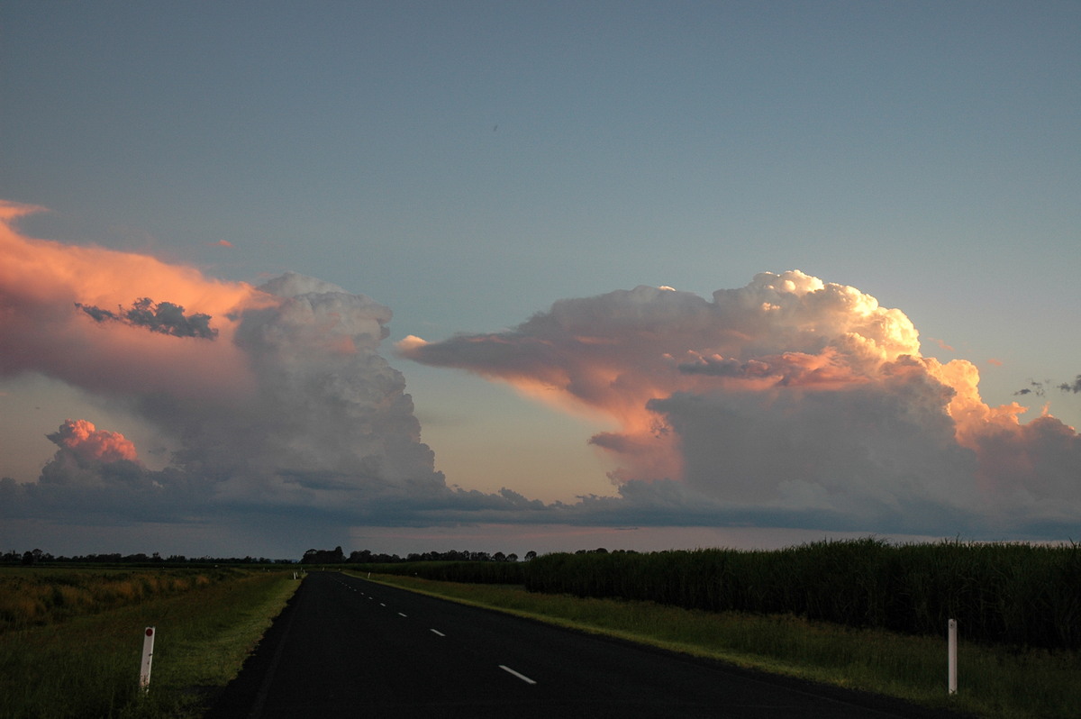
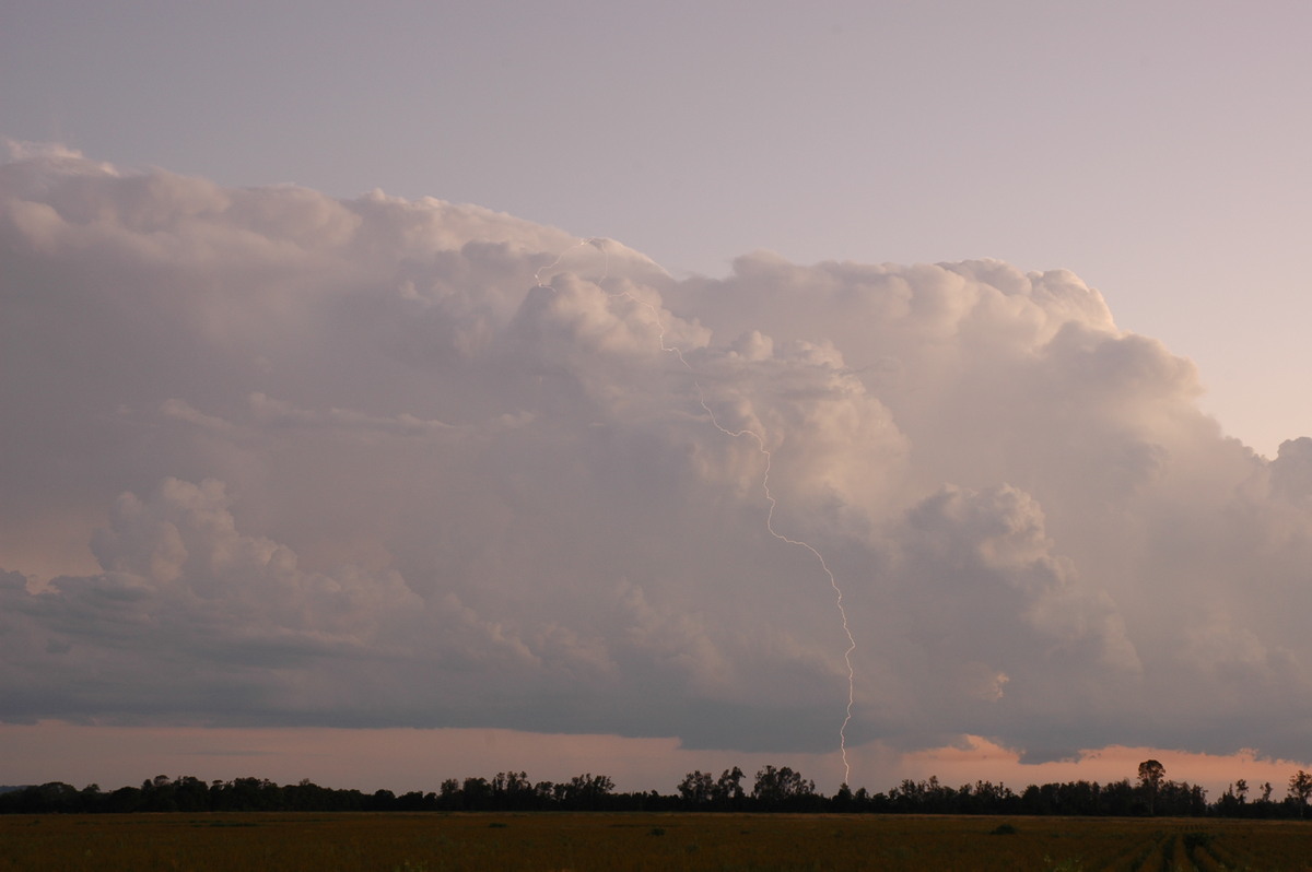
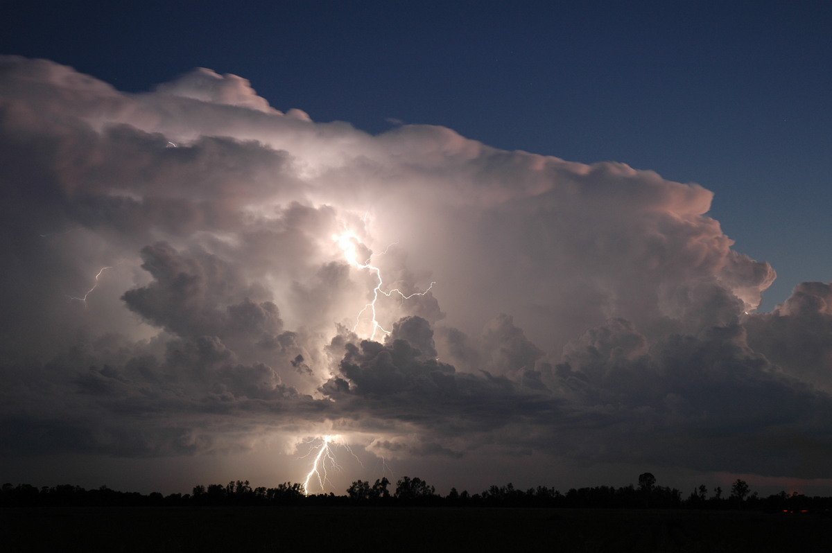
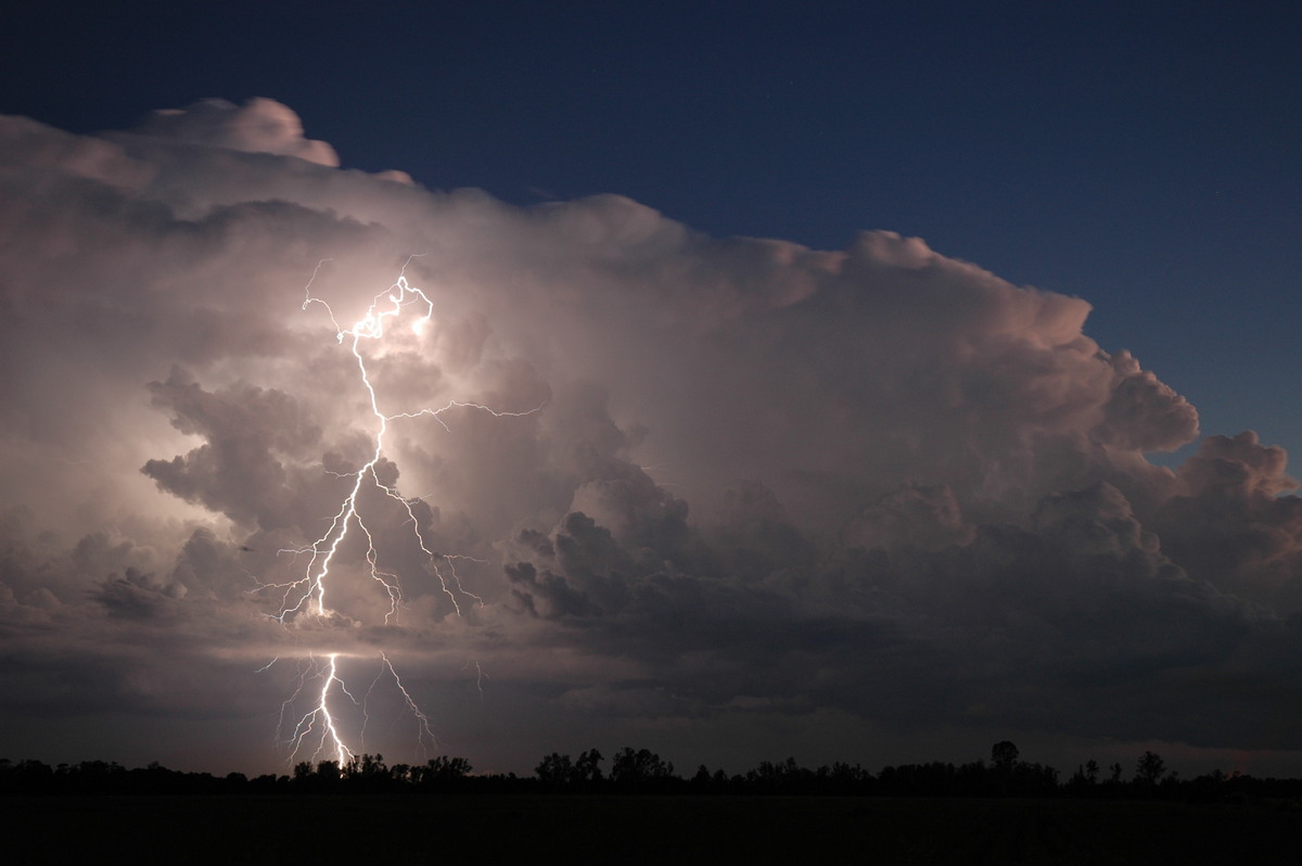
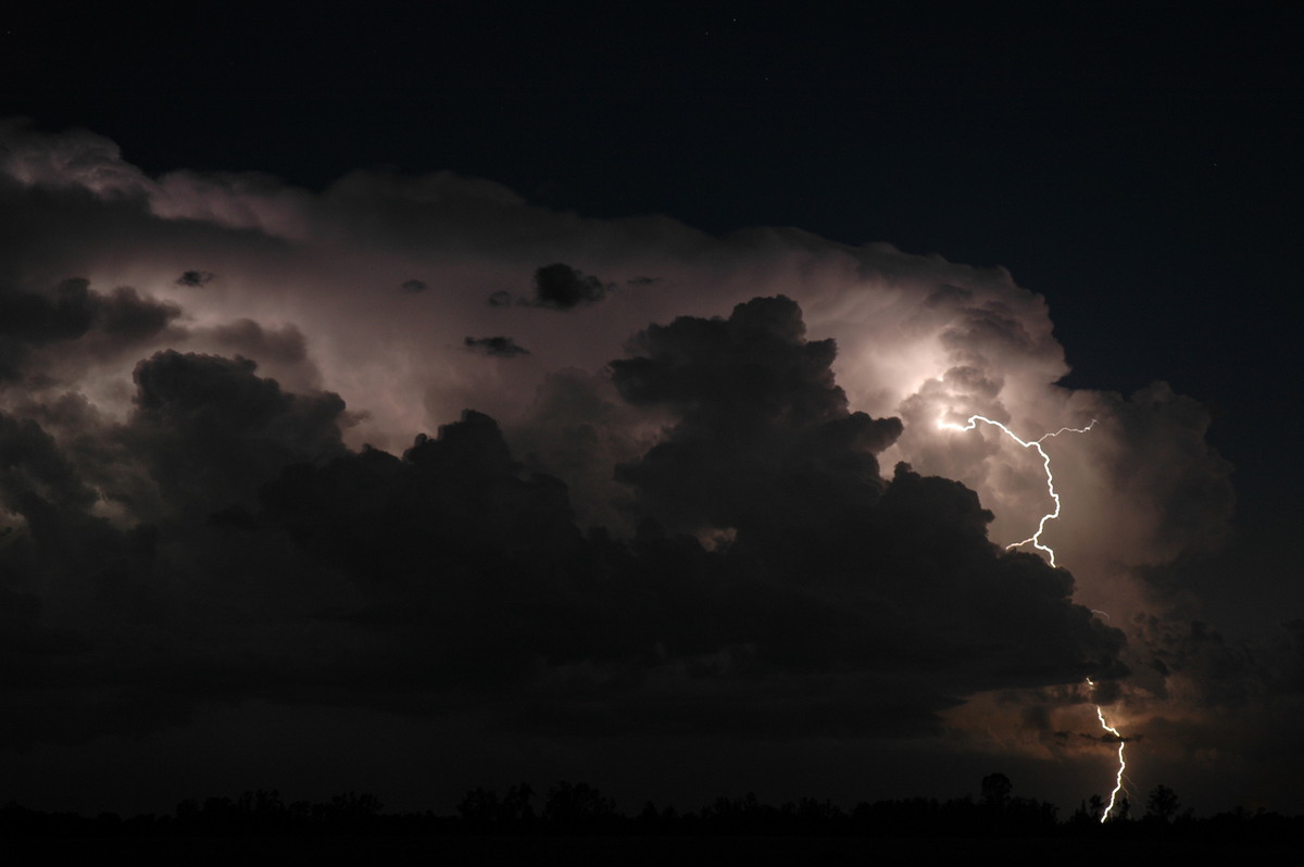
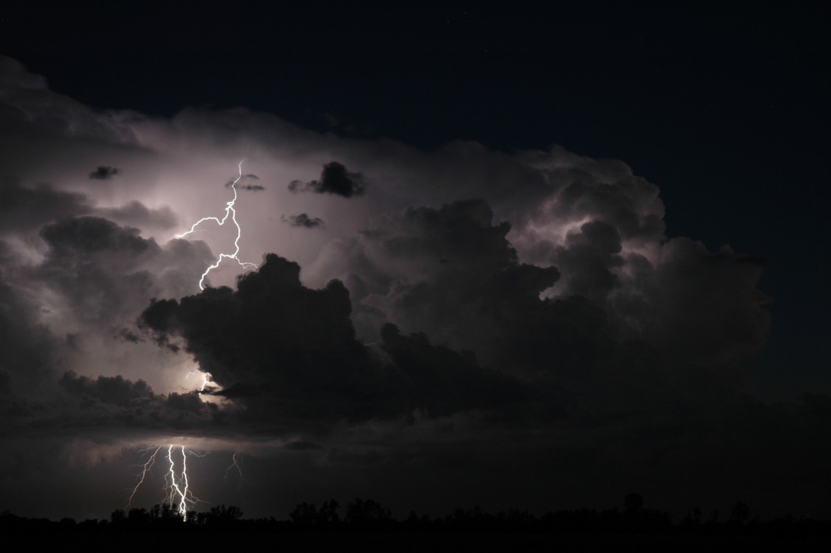
It was one of those rare displays of lightning, an almost stationary storm with nothing in the way, sunset leading into nightfall and frequent CGs both in and outside the storm structure ! We set up and enjoyed the hour long show, capturing some wicked lightning. Ray had to end his chase after the Lismore cell, but Rodney was also photographing the storm from a location near to us.


Towards 9pm another storm had formed near Casino. We decided to head out there for hopefully more great lightning but it weakened and the chase was over.
It was a very satisfying non-rushed chase day after a slow start. Beautiful high contrast storm features, an encounter with severe weather, and the best lightning opportunity in about 2 years. The Brisbane chasers were also happy with a well documented supercell moving northwards through the western parts of that city.
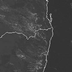
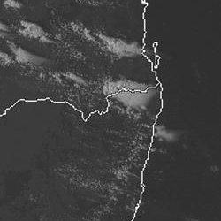
From Weatherzone: 3pm to 6pm local
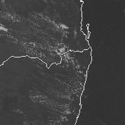
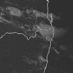
From NOAA 21/01/2005 06z analysis run
|
Document: 200501-02.htm
Updated: 19th October, 2005 |
[Australian Severe Weather index] [Copyright Notice] [Email Contacts] [Search This Site] |