Storm News
and Chasing

[Index][Archives]
Main Index Home Page Stock Weather Photos Australian Severe Weather Forum Storm News and Storm Chasing Reports Tropical Cyclones / Hurricanes / Typhoons Weather Data and Links Wild Fires / Bushfires Weather Observation Techniques Weather Picture Catalogue Tornado Pictures and Reports Stock Video Footage and DVDs for sale
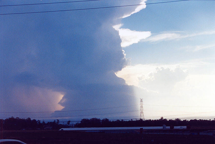
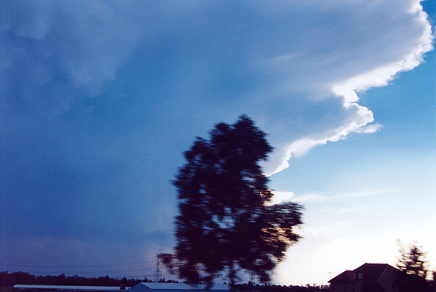
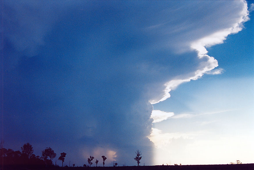
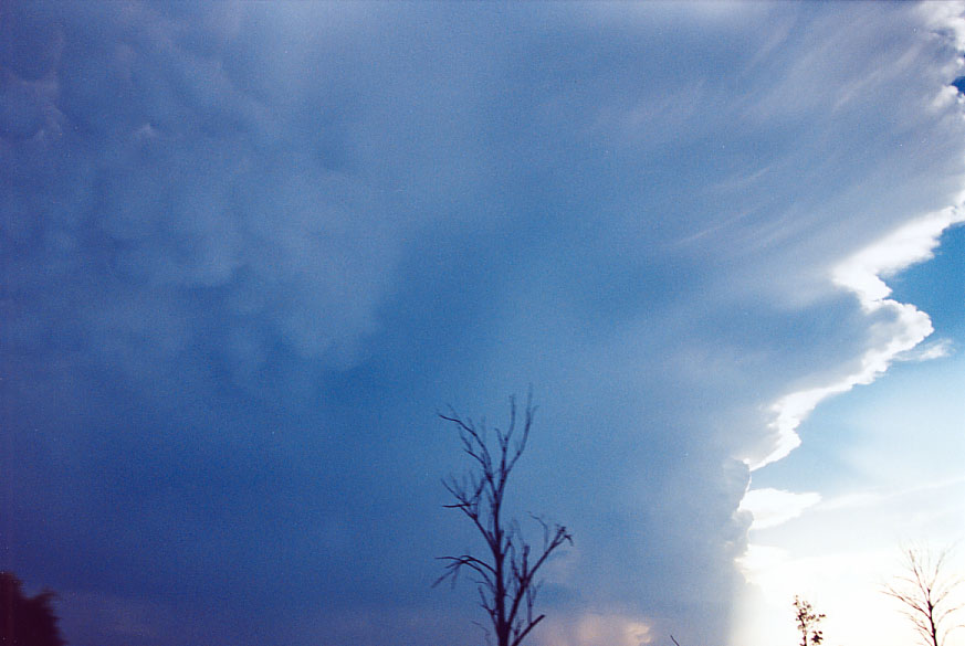
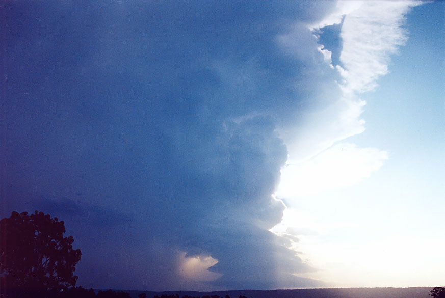
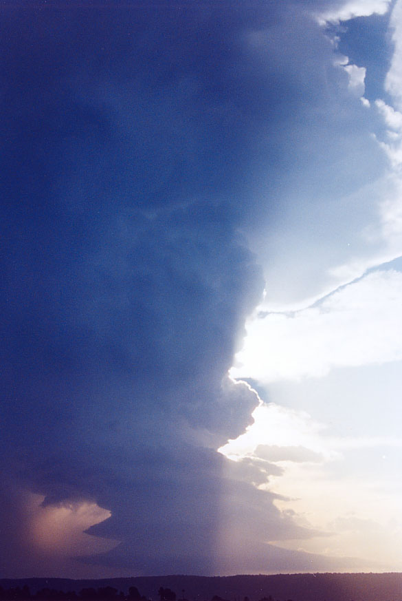
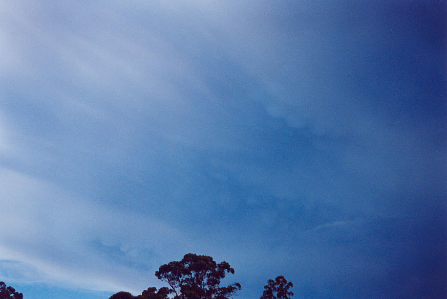
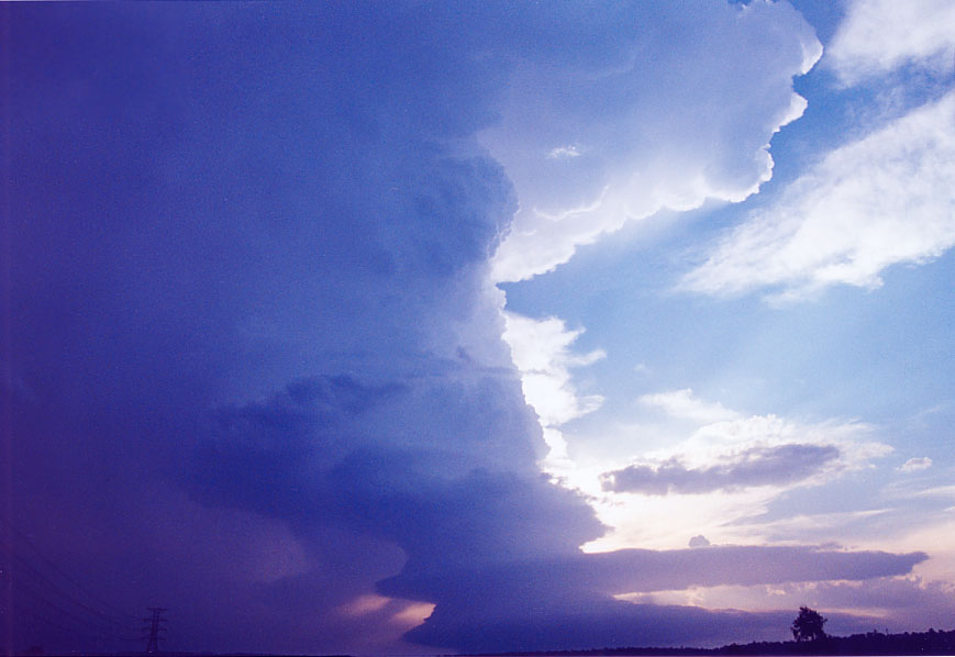
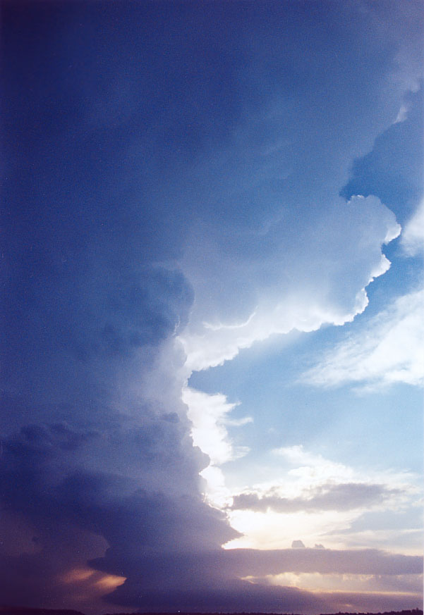
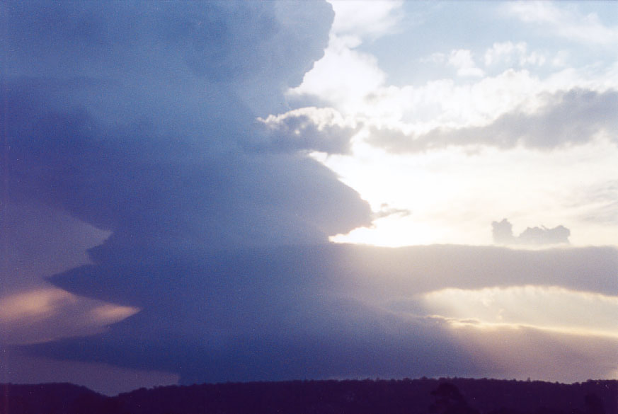
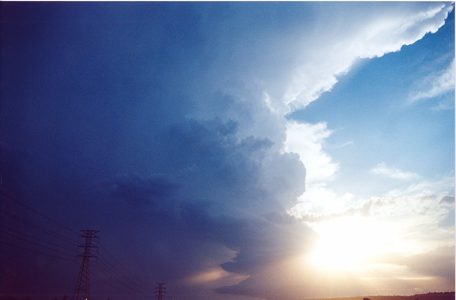
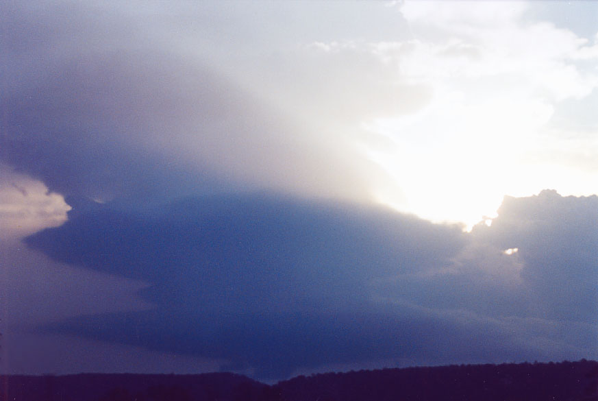
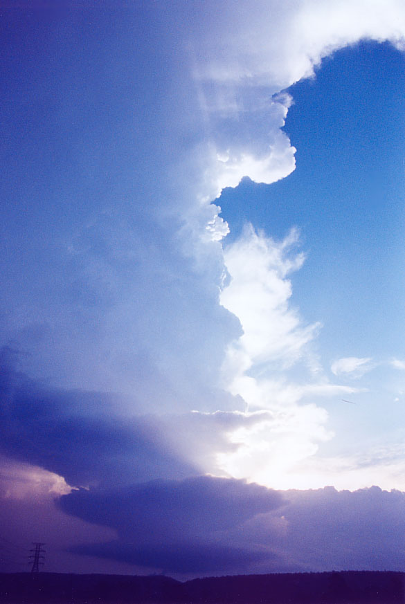
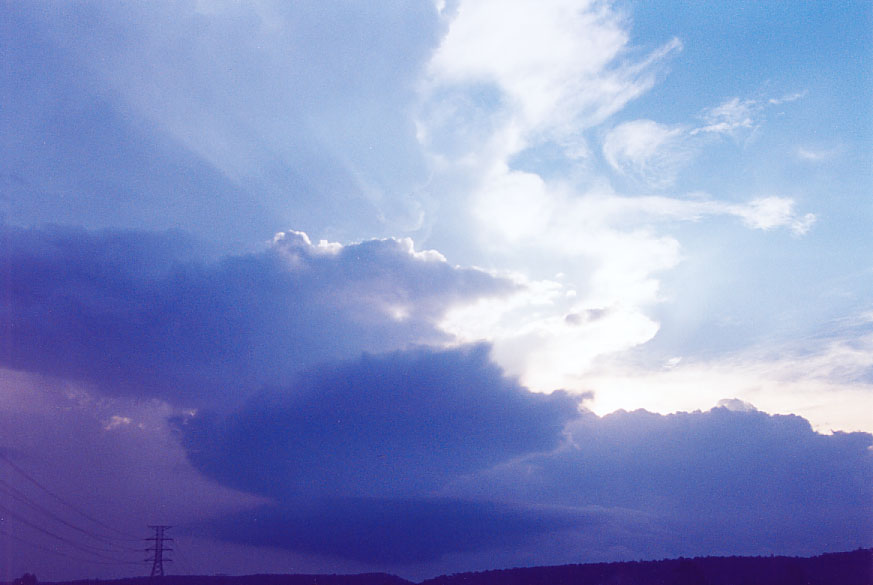
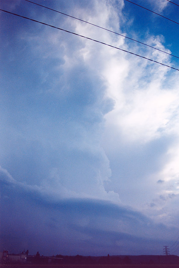
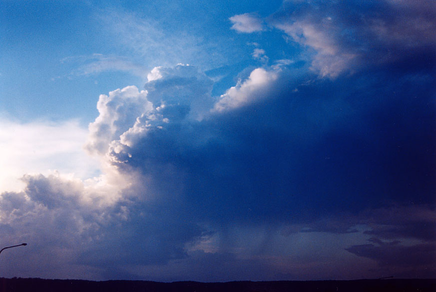
LP Supercell Western Sydney: Tuesday 1st February 2005
by Jimmy Deguara

Full report to be added...

Contact me for more information.


Radar

From Bureau of Meteorology

  • Sydney local scale loop 0600z to 1200z 01/02/2005 (5pm to 11pm local)

    Satellite Images

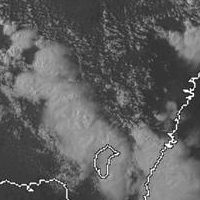
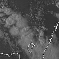
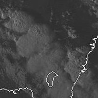
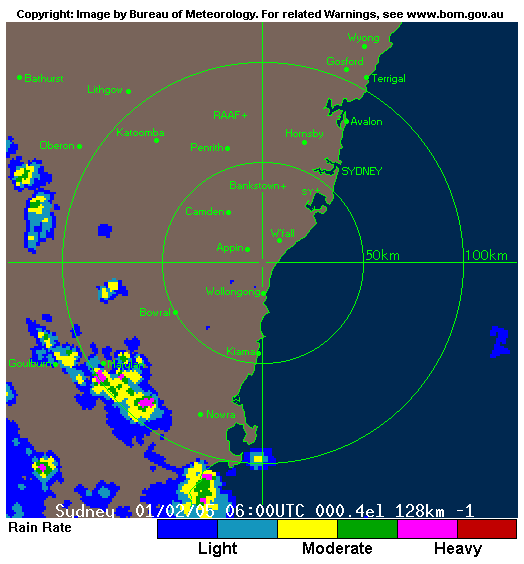
    From Weatherzone: 5pm to 7pm local

    01/02/2005 06z 01/02/2005 07z 01/02/2005 08z


    Analysis Chart

    From Bureau of Meteorology

    01/02/2005 06z


    GFS Model Analysis

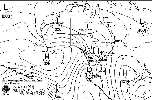
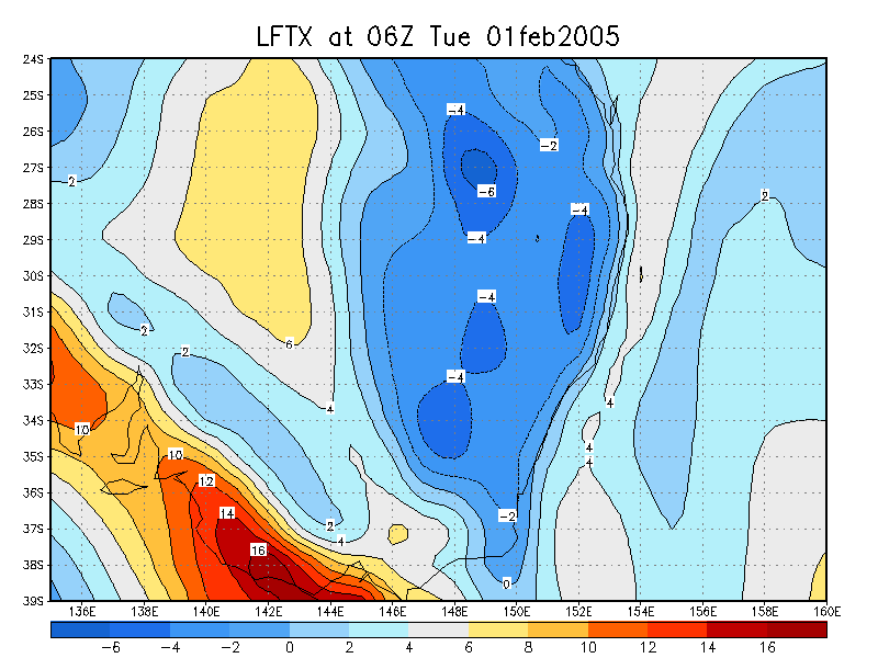
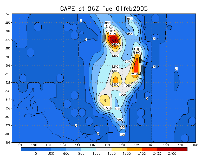
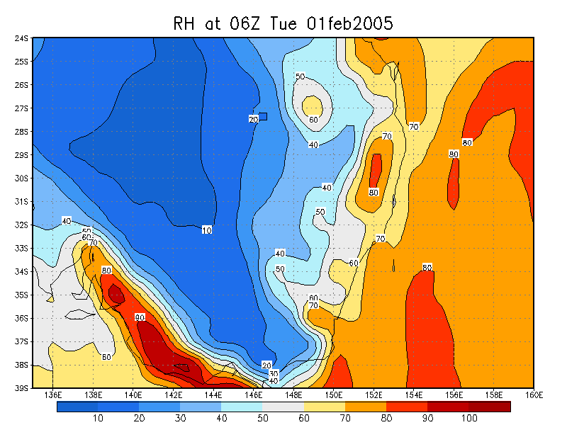
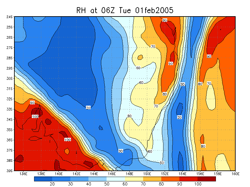
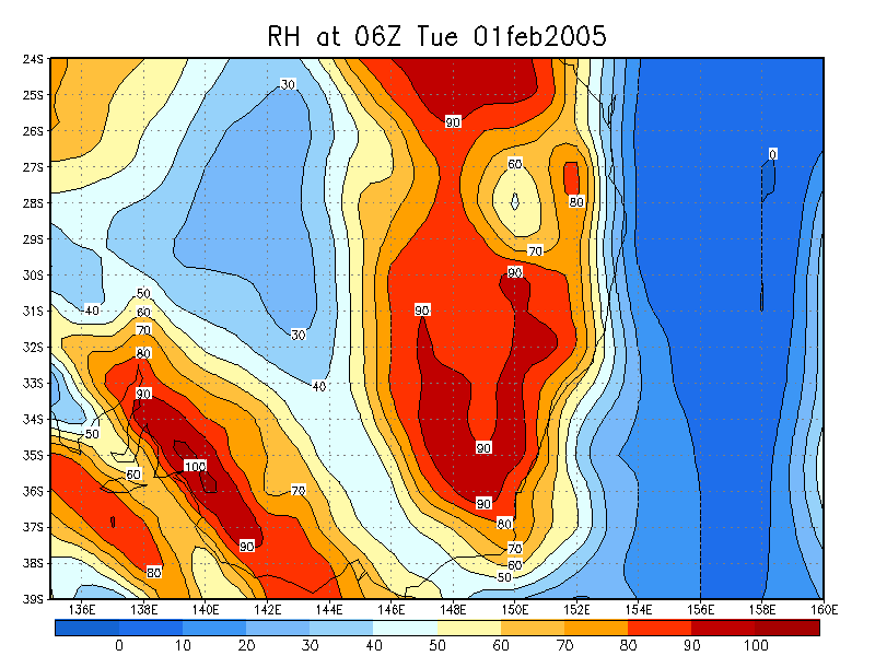
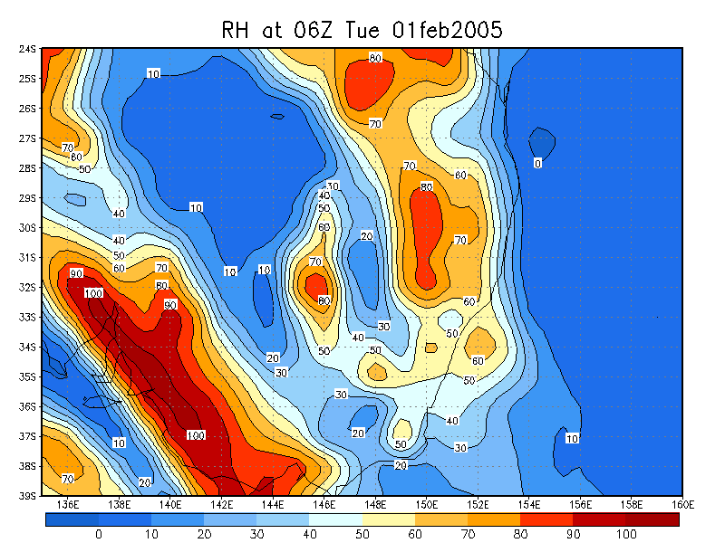
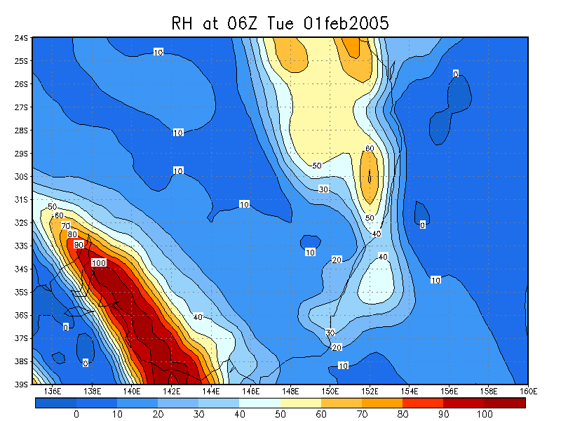
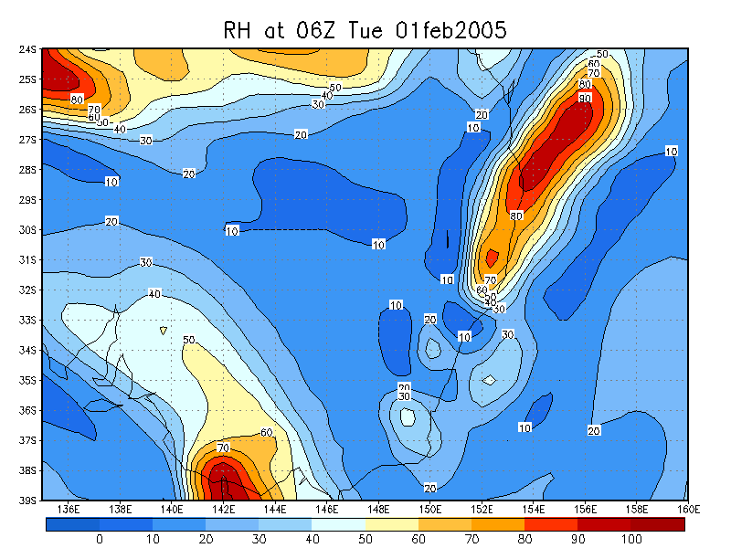
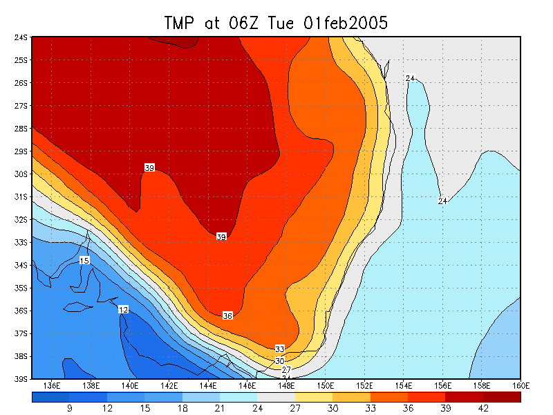
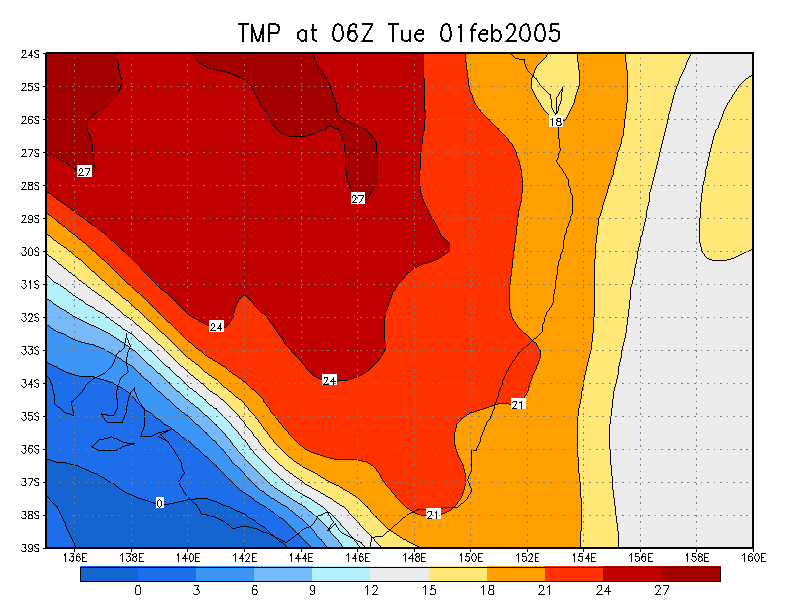
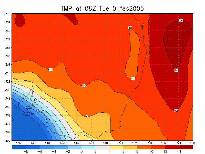
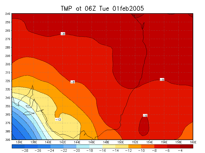
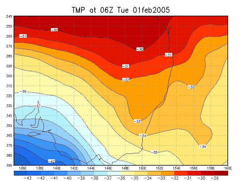
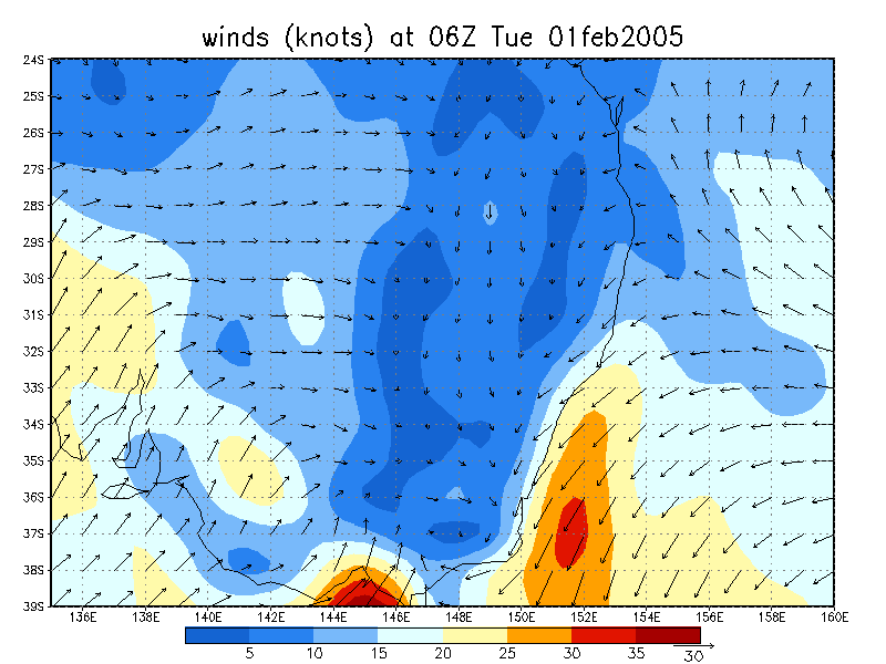
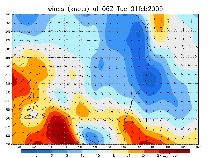
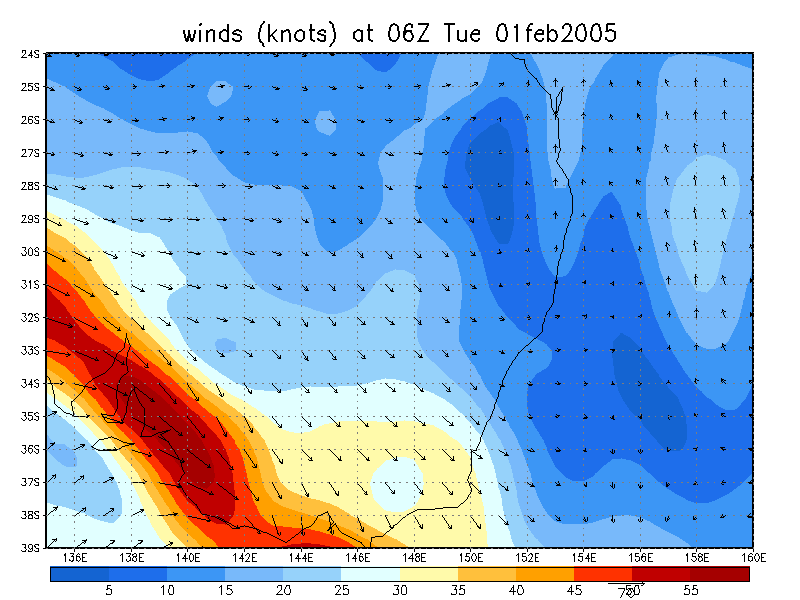
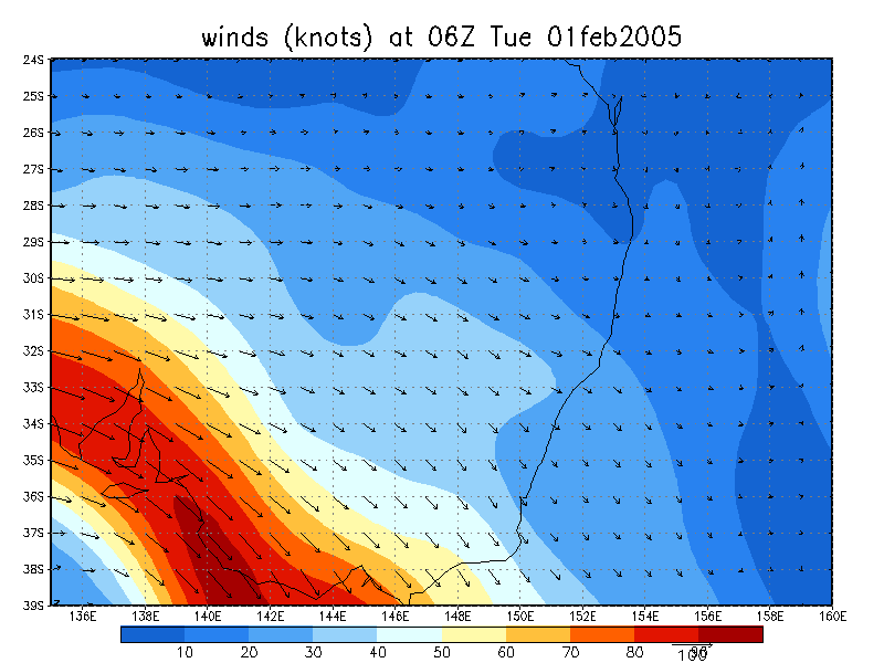
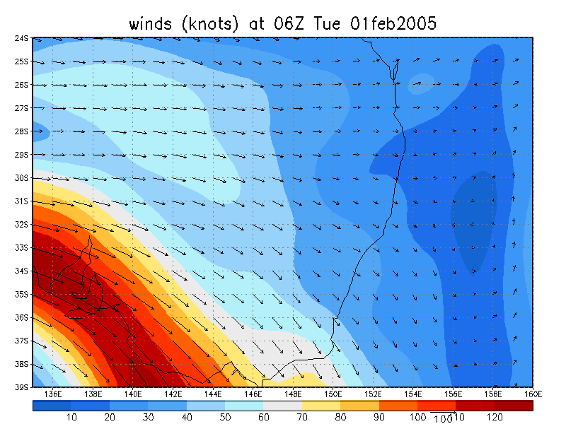
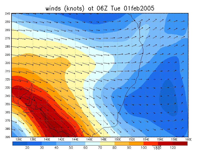
    From NOAA 01/02/2005 06z analysis run

  • Liftex Index
  • CAPE
  • Relative Humdity surface
  • Relative Humdity 850 hPa
  • Relative Humdity 700 hPa
  • Relative Humdity 600 hPa
  • Relative Humdity 500 hPa
  • Relative Humdity 300 hPa
  • Temperature (C) surface
  • Temperature (C) 850 hPa
  • Temperature (C) 700 hPa
  • Temperature (C) 500 hPa
  • Temperature (C) 300 hPa
  • Winds (knots) surface
  • Winds (knots) 925 hPa
  • Winds (knots) 850 hPa
  • Winds (knots) 700 hPa
  • Winds (knots) 500 hPa
  • Winds (knots) 300 hPa
  • Winds (knots) 200 hPa
    Document: 200502-05.htm
    Updated: 30th May, 2005
    [Australian Severe Weather index] [Copyright Notice] [Email Contacts] [Search This Site]