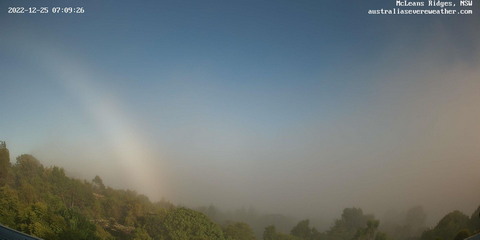
25 December 2022
Eltham valley sunrise fog with fogbow
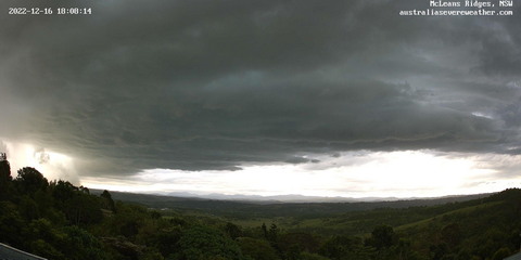
16 December 2022
Severe thunderstorm passing through.
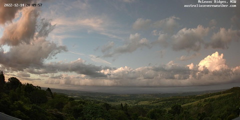
14 December 2022
Bubbling cumulus clouds at sunset.
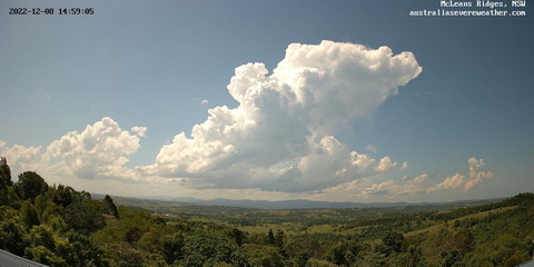
8 December 2022
Cumulus congestus clouds and thunderstorms.
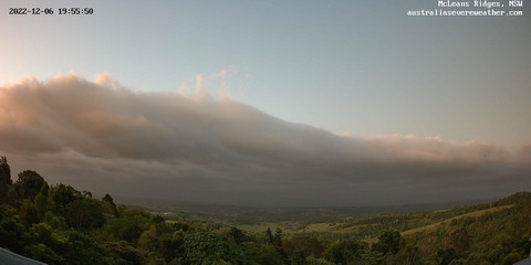
6 December 2022
Sharp cloud deck boundary.
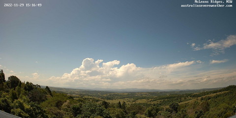
29 November 2022
Cumulus congestus clouds and weak thunderstorm at sunset.
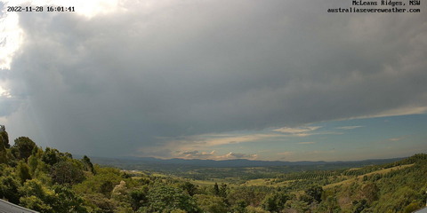
28 November 2022
Whole day with altocumulus with lenticular clouds and afternoon thunderstorm.
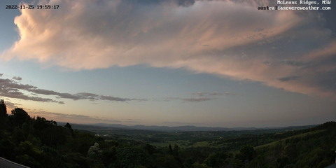
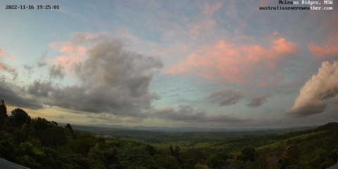
25 November 2022
Thunderstorm anvil sunset then meteor streak.
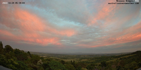
24 November 2022
Bright sunset with altocumulus clouds.
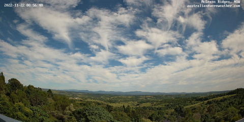
22 November 2022
Cirrus clumps with virga streaks.
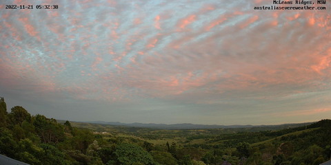
21 November 2022
Morning altocumulus clouds.
16 November 2022
Isolated tall cumulus clouds at sunset.
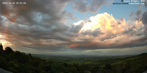
14 November 2022
Cumulus congestus clouds at sunset.
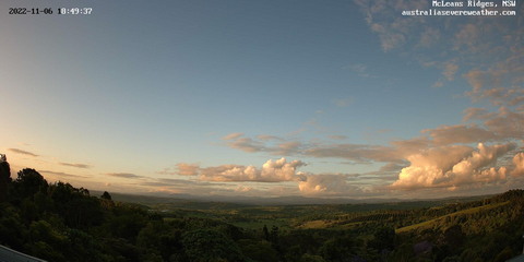
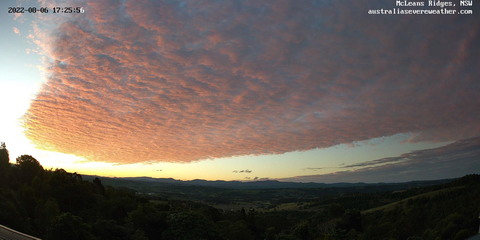
6 November 2022
Cumulus clouds sheared off into sunset.
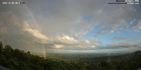
6 November 2022
Morning showers with rainbow.
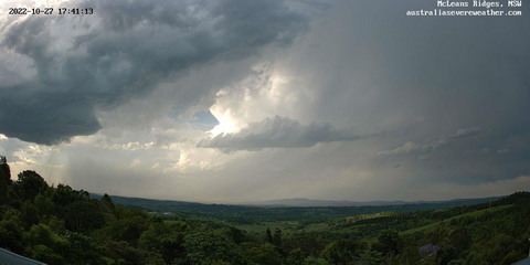
27 October 2022
Low precipitation supercell thunderstorm impact.
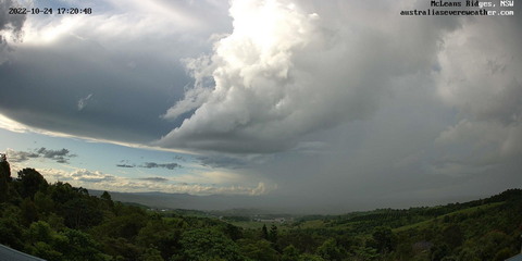
24 October 2022
Border Ranges thunderstorms to sunset.
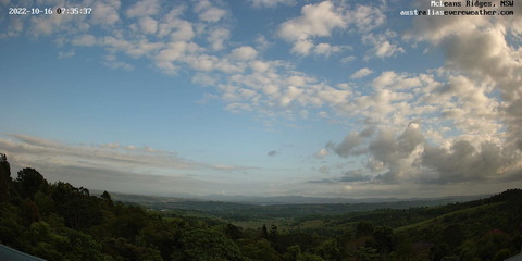
16 October 2022
Gravity waves in morning cumulus clouds.
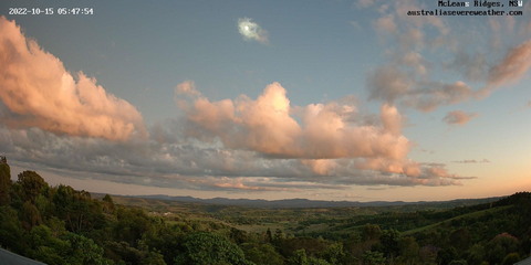
15 October 2022
Moonset and cumulus clouds at sunrise.
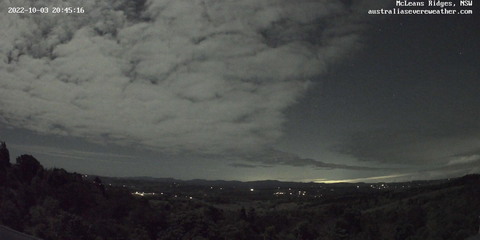
3 October 2022
Sudden clearance of cloud due to wind shift.
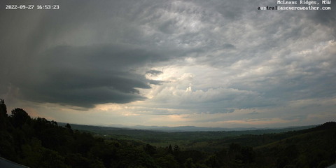
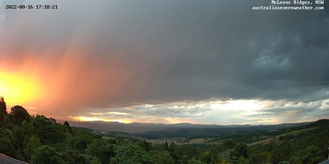
27 September 2022
Late afternoon thunderstorm weakening.
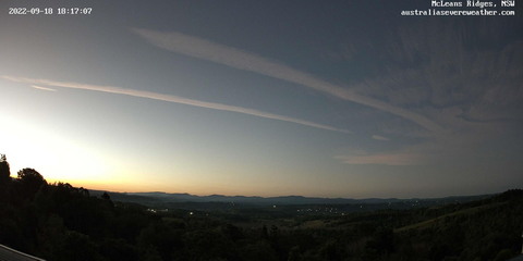
18 September 2022
Cirrostratus sunset with several contrails.
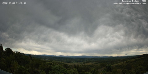
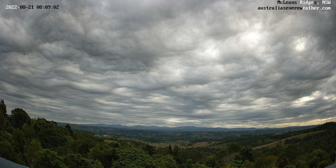
9 September 2022
Altostratus with mammatus with wintry showers.
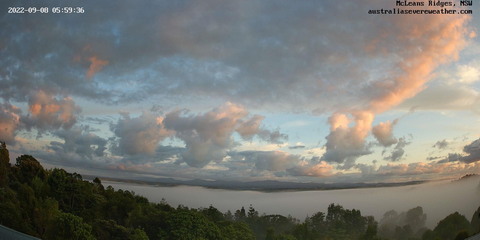
8 September 2022
Morning fog with scaterred cumulus and high clouds.
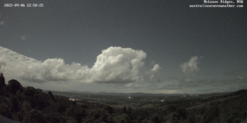
6 September 2022
Moonlit isolated cumulus congestus clouds.
21 August 2022
Wavy cumulus asperatus clouds.
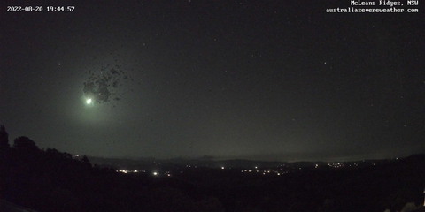
20 August 2022
Sunset then bright meteor fireball.
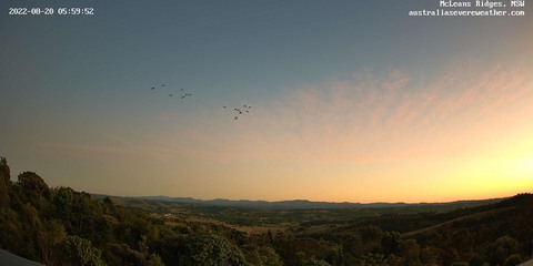
20 August 2022
Sunrise with high cloud patches and hot air balloons.
16 August 2022
Sunset thunderstorm then clouds clearing.
6 August 2022
Altocumulus sunset and nearby fire.
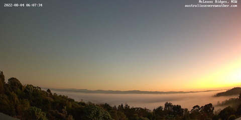
4 August 2022
Fog and vibrant sunrise.
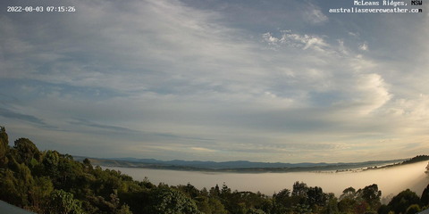
3 August 2022
Fog and sunrise with high clouds.
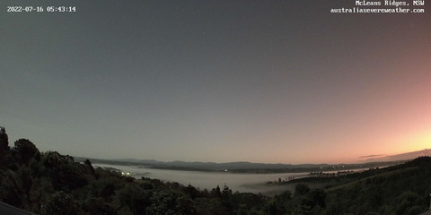
16 July 2022
Vibrant sunrise with fog and hot air balloons looping.
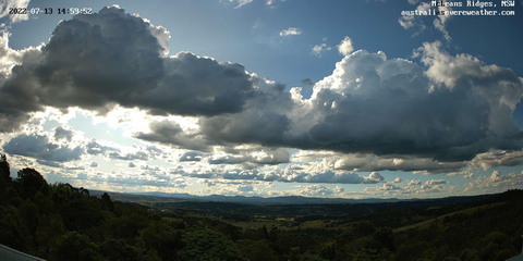
13 July 2022
Weak afternoon thunderstorm then sunset.
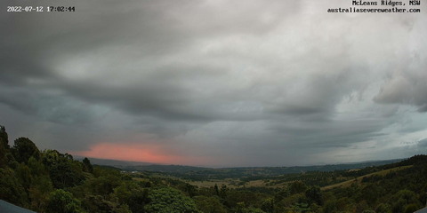
12 July 2022
Late afternoon thunderstorm embedded in other clouds.
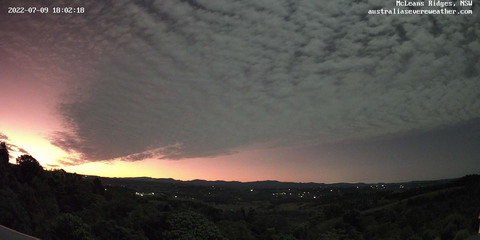
9 July 2022
Dramatic altocumulus clouds at sunset and into evening.
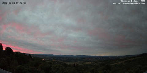
4 July 2022
Wintry altostratus clouds with mammatus.
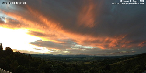
3 July 2022
Sunset and moonset with mid levels clouds.
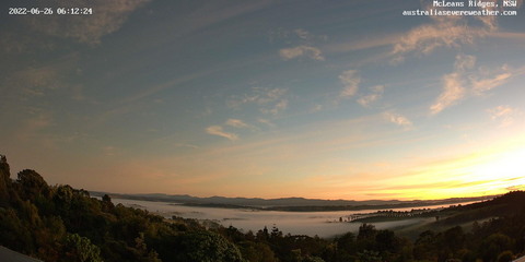
26 June 2022
Sunrise with fog and hot air balloons looping.
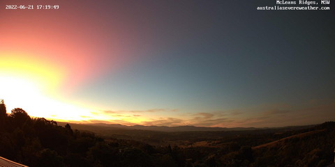
21 June 2022
Sunset with vibrant colour and rays from the Tongan volcanic ash.
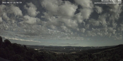
17-18 June 2022
Chaotic mid and high level clouds illuminated by moonlight, then sunrise.
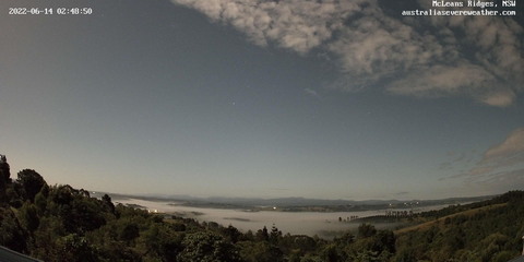
13-14 June 2022
Sunset to sunrise with night sky stars, clouds and fog patches.
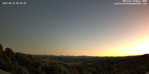
12 June 2022
Night sky and stars with moonset then Tongan Volcano sunrise colours.
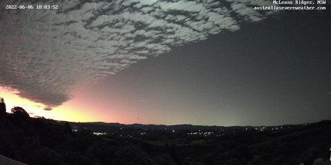
6 June 2022
Mid level clouds with Tongan Volcano sunset colours.
How are the timelapses created?
HikVision Network Camera (2.8 mm: horizontal FOV102°, vertical FOV 52°, diagonal FOV 124°) with a powered ethernet cable saves 4K snapshot images every 60 seconds to a Network Attached Storage.
Windows app copies the images from the NAS, crops to remove some unwanted foreground and resizes to HD (1920 wide), and archives.
Ffmpeg used to string the JPGs into MP4 for YouTube.